°C
Current temperature
5:30 AM, Jan 01, 1970 Temp (Min/Max)
°C
°C
 Humidity
%
 Rainfall probability
%
 Wind speed
km/h
()Hourly
7 Days
15 Days

Weather buddy
Over the next 15 days, you can expect a period of hot weather starting around June 16th. After about five days from then onwards, temperatures will begin to rise noticeably, with daily highs reaching up into the mid-40s and even exceeding that at times. From June 16th to June 24th, we'll be in the midst of a heat wave period, when daily maximum temperatures hover around 32°C on average; expect humidity levels between 58% and 80%. On Thursday, June 19th, there's an increased likelihood of thunderstroms with significant rainfall. However, no severe heat waves are forecasted during this period, as temperatures do not reach a sustained daily maximum of over 45°C. After the heat wave ends on June 24th, expect cooler conditions to prevail from June 25th onwards with average daily highs around 28-29°C and less humidity.


Rainfall probability

Wind speed


Humidity
Sunrise/Sunset

Moonrise/Moonset


Weather buddy
Today's weather presents a challenging start, with temperatures ranging from 28°C to 38°C and high humidity levels between 45% and 92%. The morning will be characterized by a severe thunderstorm with minimal cloud cover. As the day progresses towards evening, expect slightly cooler temperatures between 36°C and 42°C, reduced humidity, clear skies, but some rainfall of up to 3 mm. Wind speeds will moderate to around 13 km/h. The night brings another thunderstorm scenario with temperatures dropping slightly from the daytime highs between 26°C and 34°C, accompanied by increased humidity and consistent wind speeds of approximately 18 km/h. Stay cautious as these conditions are associated with potential strong storm activity.
Temp (Min/Max)
Clear Sky Humidity
57%
 Dew Point
25°C
Highly Humid
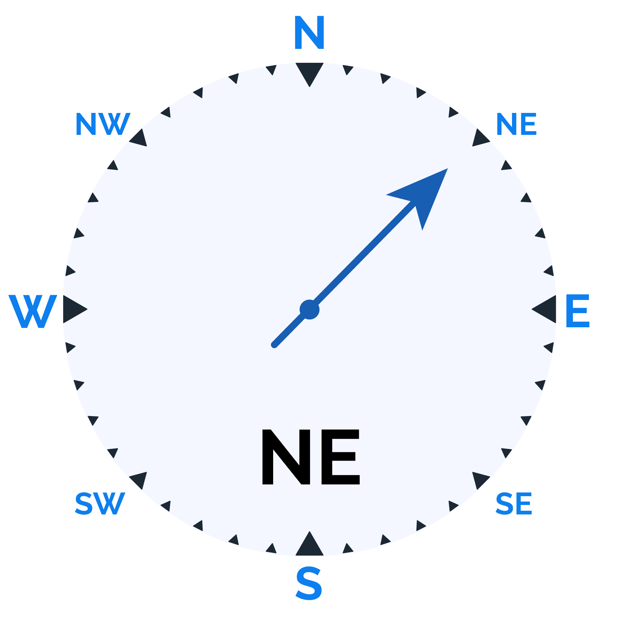
Wind speed
13 km/h
Wind Speed