°C
Current temperature
5:30 AM, Jan 01, 1970 Temp (Min/Max)
°C
°C
 Humidity
%
 Rainfall probability
%
 Wind speed
km/h
()Hourly
7 Days
15 Days

Weather buddy
Over the next 15 days, you can expect a period of increasing temperatures starting from Day 2 onwards. The average temperature will rise gradually to reach around 32°C by the end of this forecast window. On June 4th through 7th, we'll experience a heat wave with daily maximum temperatures ranging between 26-40°C. Although there won't be any severe heat waves above 45°C during this time period, it is advisable to stay hydrated and seek shade due to the high humidity levels that might make these temperatures feel warmer than they actually are. Prepare for some showers as well, with a significant rainfall expected on June 9th, transitioning from mostly cloudy skies throughout this forecast period.



Rainfall probability

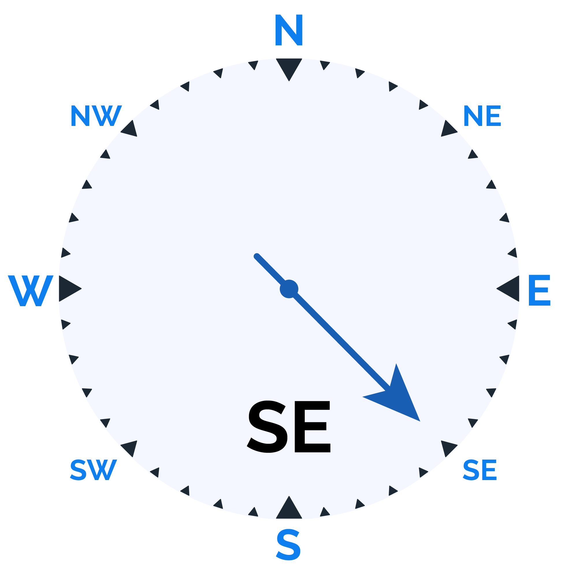
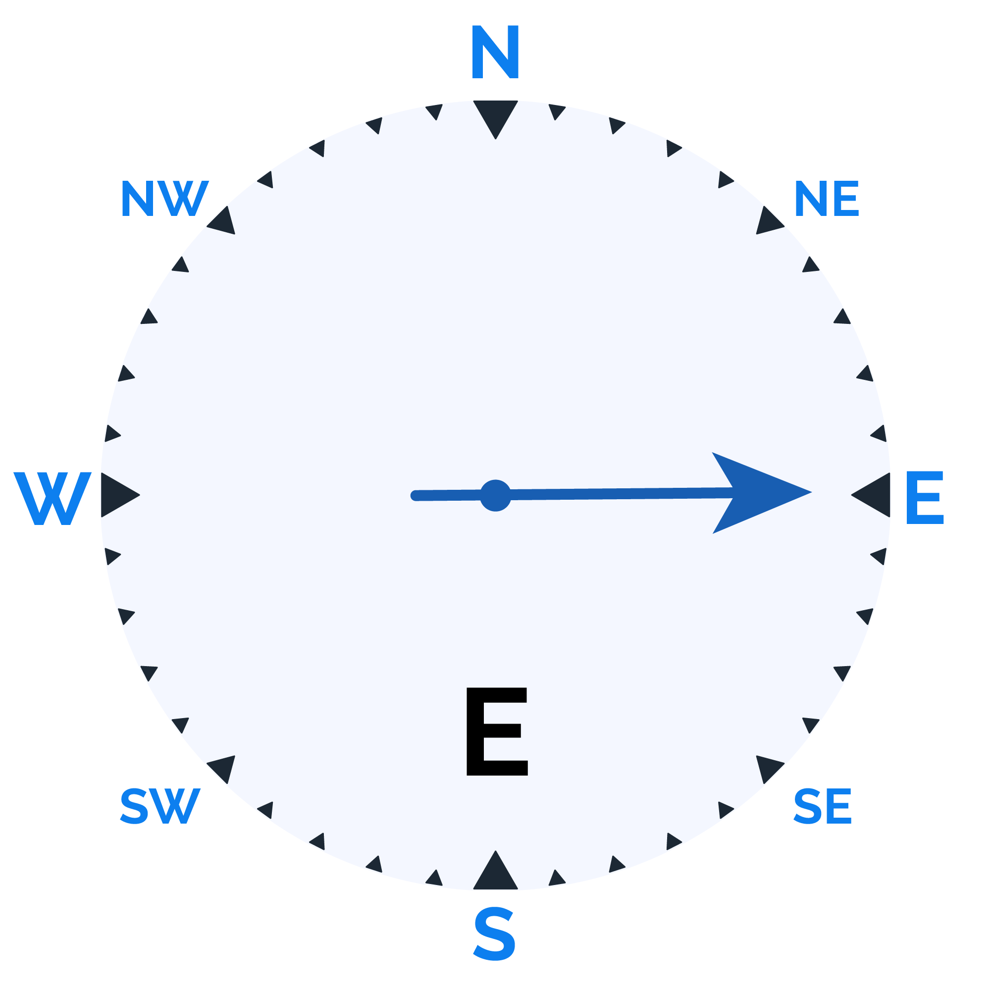
Wind speed
Humidity

Sunrise/Sunset


Moonrise/Moonset








Weather buddy
Today's weather presents a warm start with temperatures ranging between 26.0°C and 35.C, accompanied by high humidity levels of 54% to 85%. The morning will see clear skies until midday when partly cloudy conditions set in, along with wind speeds averaging around 18.3 km/h. As evening approaches, temperatures slightly increase to a range of 36.0°C to 38.0°C under cloudier skies and lighter winds at approximately 16.0 km/h. Rain is not anticipated today; however, nightfall brings more clouds with higher humidity levels ranging from 66% to 97%, and a significant rainfall of up to 27.0 mm. The overall conditions remain dynamic throughout the day, transitioning from clear morning skies to cloudier evenings and potentially wetter conditions at night.
Temp (Min/Max)
PARTLY CLOUDY Humidity
70%
 Dew Point
24°C
Highly Humid
Wind speed
15 km/h
Wind Speed