°C
Current temperature
5:30 AM, Jan 01, 1970Hourly
7 Days
15 Days

Weather buddy
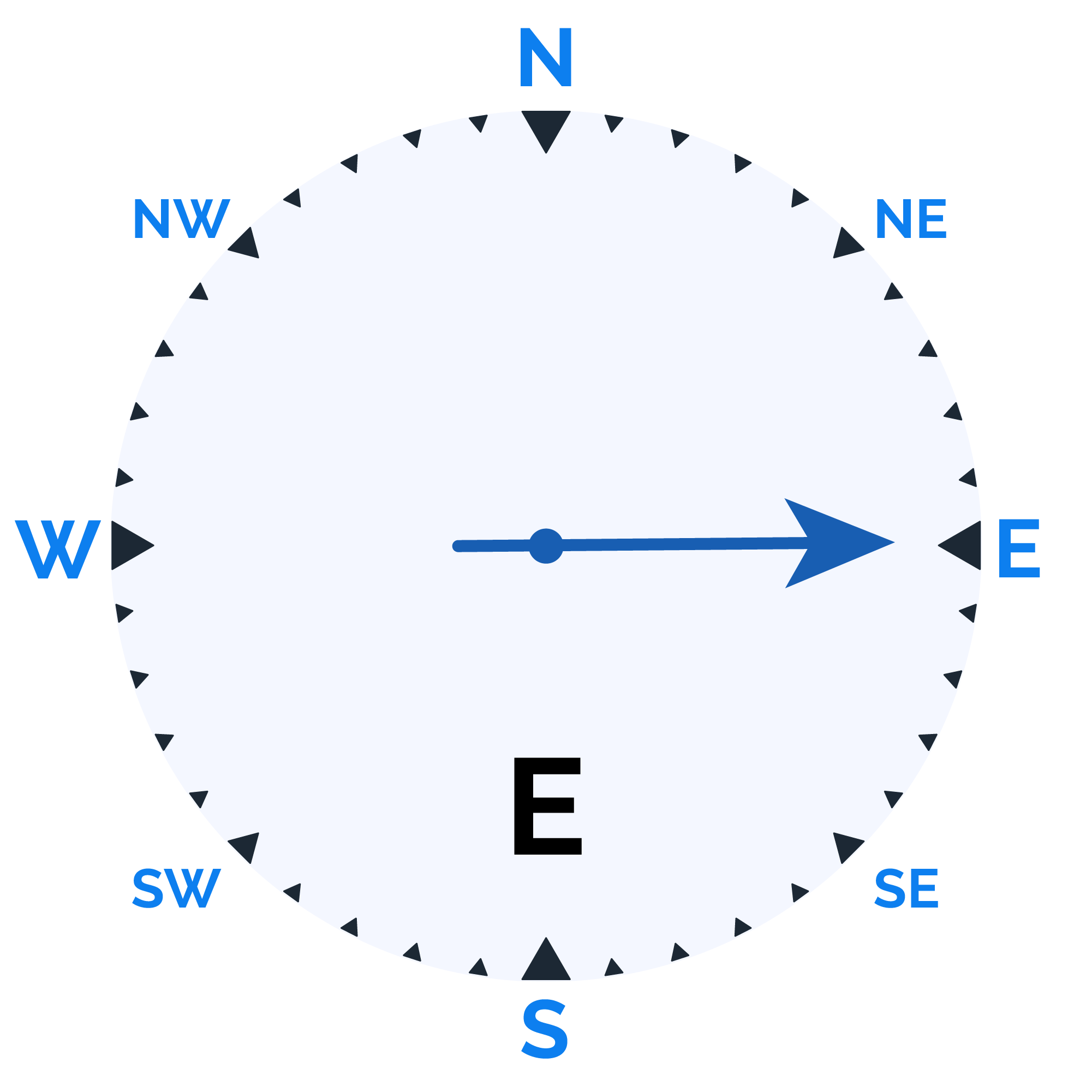
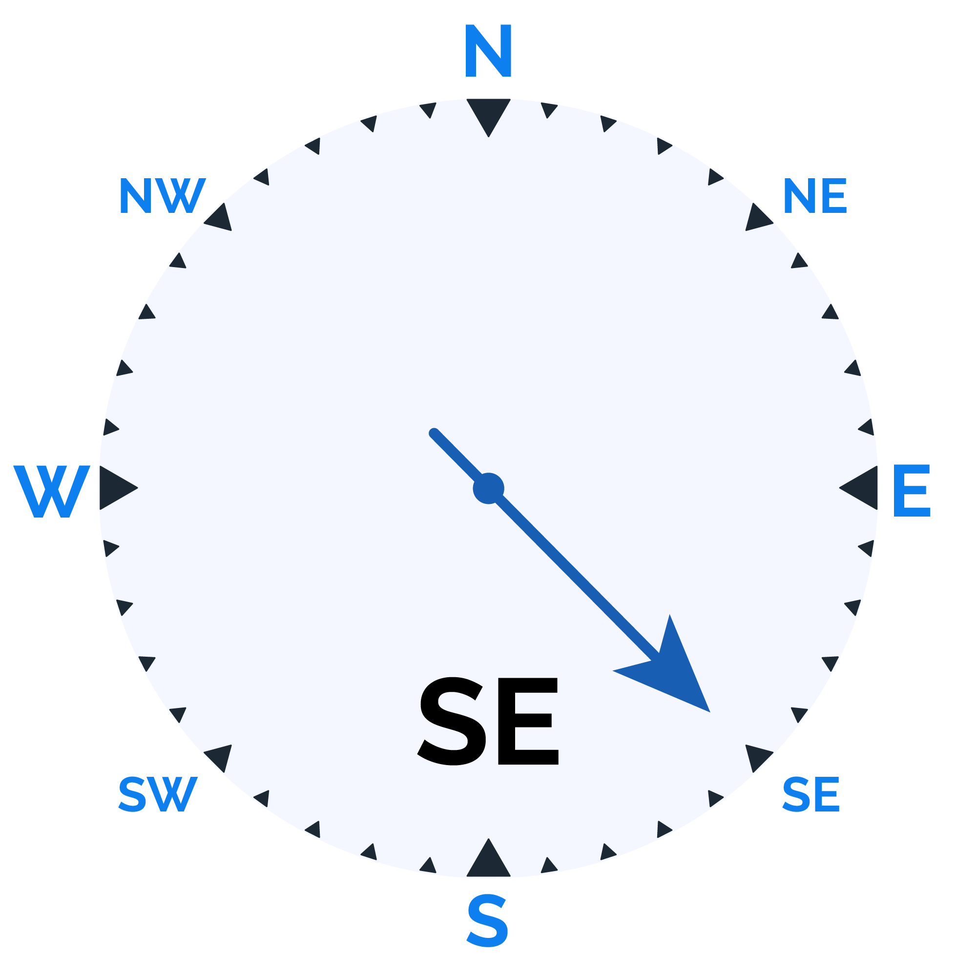
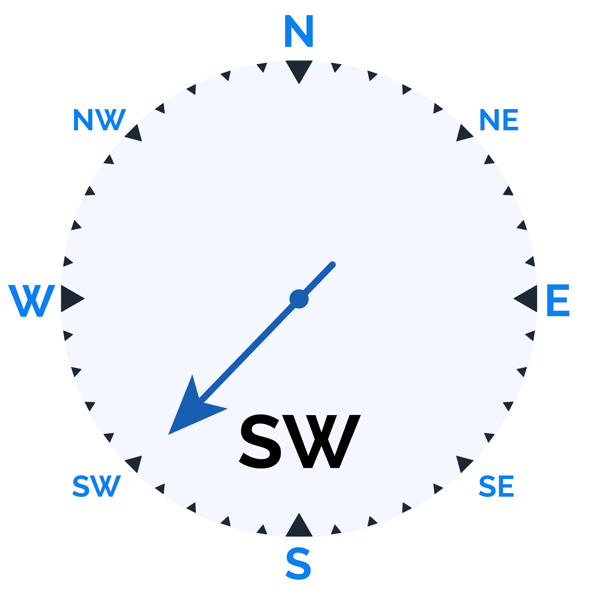
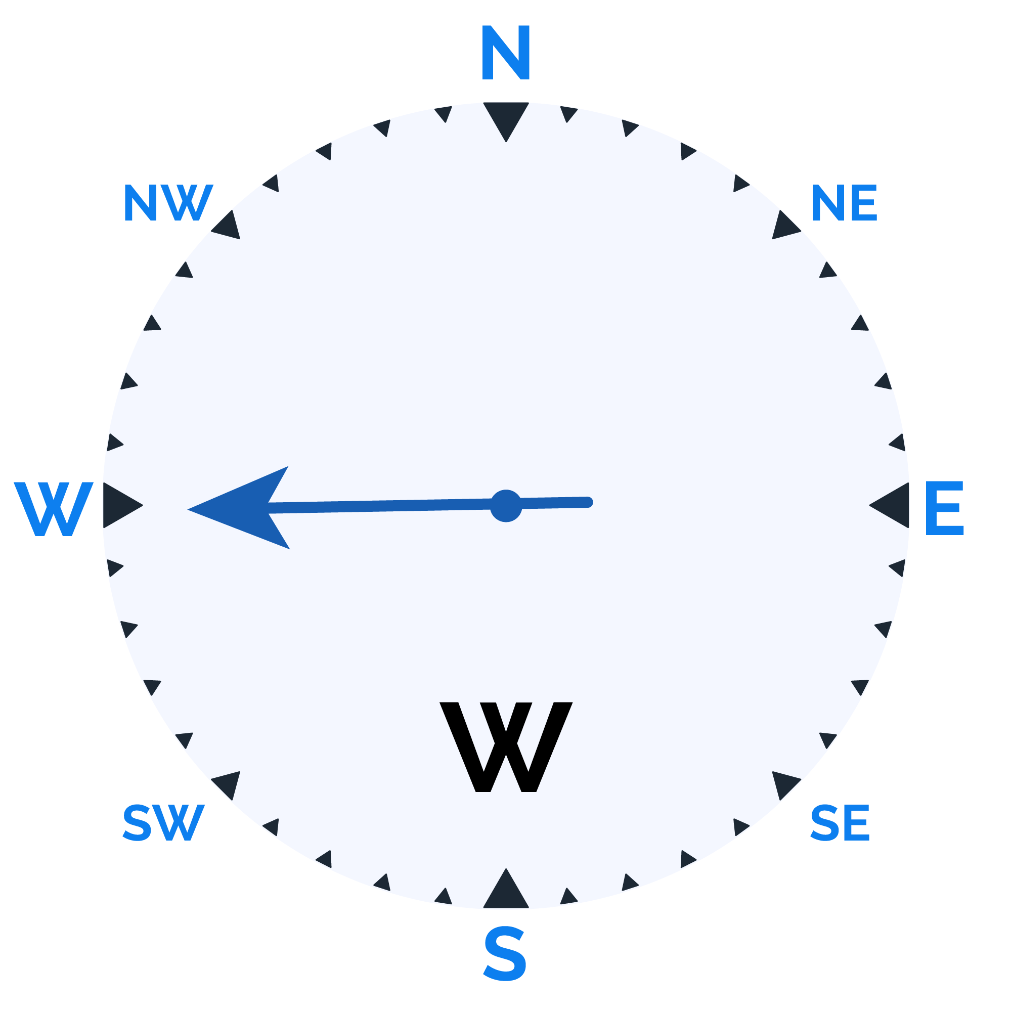
From February 23rd to March 5th, expect a predominantly sunny period with temperatures ranging from a cool 9°C to a warm 29°C. Humidity levels will fluctuate between 38% and 96%, while the skies remain largely clear with minimal cloud cover. No rainfall is anticipated, so enjoy the sunny conditions! The average wind speed will be around 13.6 km/h for a refreshing breeze throughout this period.


Rainfall probability

Wind speed

Humidity

Sunrise/Sunset


Moonrise/Moonset

Weather buddy
Throughout the day, expect predominantly sunny skies with morning temperatures ranging from 12.0°C to 26.0°C and evening highs between 24.0°C and 28.0°C. Humidity levels will vary between 43% and 82%, while wind speeds are moderate, averaging around 15 km/h in the morning and slightly stronger at approximately 20 km/h during the evening. Nighttime temperatures will be cooler, with lows from 11.0°C to 21.0°C. Humidity is expected to increase overnight, peaking between 61% and 88%, but no precipitation is forecasted for any part of the day.
 Temp (Min/Max)
Clear Sky Humidity
67%
 Dew Point
9°C
Highly Humid
 Wind speed
16 km/h
Wind Speed