°C
Current temperature
5:30 AM, Jan 01, 1970Hourly
7 Days
15 Days

Weather buddy
During the next 15 days, expect a gradual rise in temperature starting around June 17th, reaching an average high of about 34-39°C. Although we're heading into some hotter days with temperatures ranging between 25°C and 43°C, there won't be any severe heat waves during this period as the daily maximum temperature doesn't surpass 45°C. However, please stay hydrated and protect yourself from the sun during these partially cloudy days. The chance of rain is relatively low with a slight increase on June 24th, but overall expect mostly dry conditions throughout your forecast period.




Rainfall probability

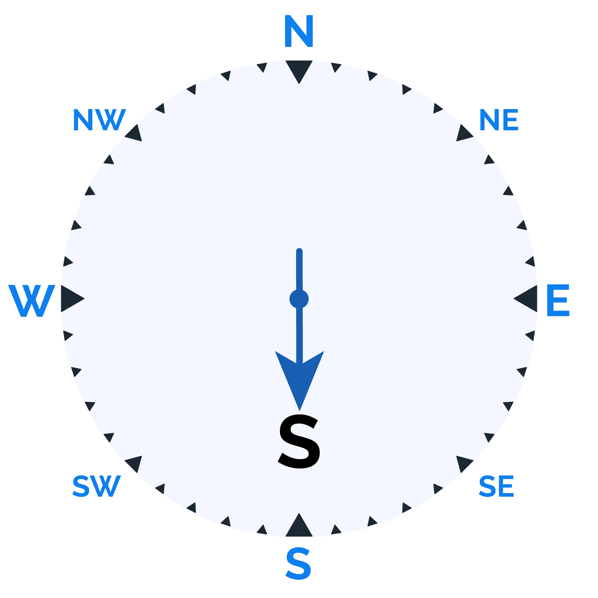
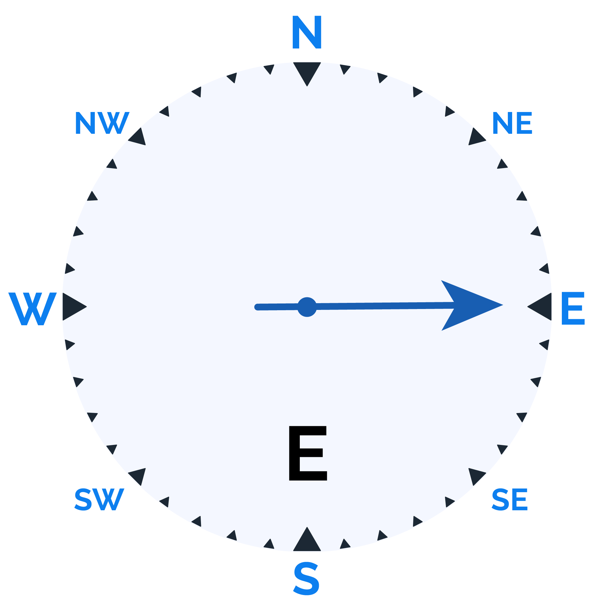
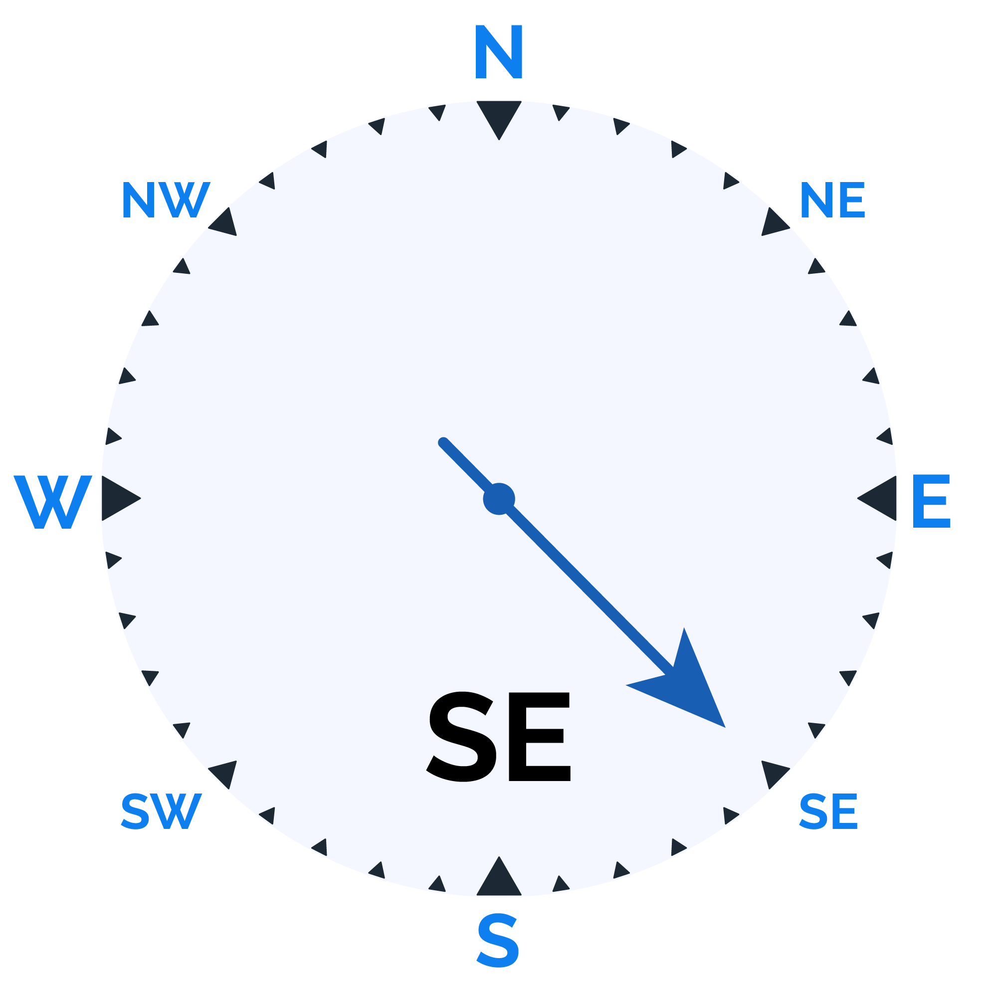
Wind speed

Humidity

Sunrise/Sunset


Moonrise/Moonset



Weather buddy
Today's weather will showcase a high temperature range, starting from 32.0°C in the morning to peaking at around 43.0°C during the evening. Humidity levels are expected to stay relatively low throughout the day, with morning readings between 32% and 44%, gradually decreasing slightly by evening to fall within a range of 30%-31%. The sky will remain clear in the early hours, transitioning to partly cloudy conditions as nightfall approaches. Wind speeds are moderate across all times of day, averaging around 15 km/h. Rain is not anticipated for today, making it a predominantly sunny and dry period with some evening clouds.
 Temp (Min/Max)
PARTLY CLOUDY Humidity
32%
 Dew Point
28°C
Highly Humid
 Wind speed
18 km/h
Wind Speed