°C
Current temperature
5:30 AM, Jan 01, 1970Hourly
7 Days
15 Days
Weather buddy
Over the next 15 days, you can expect a generally warm and humid climate with temperatures ranging from mild to quite hot. Starting from May 19th, we see an average temperature increase that continues throughout the forecast period. However, there is no heat wave expected in this weather pattern as neither daily maximum temperatures nor severe conditions reach levels above 40°C or 45°C respectively. Initially, on May 18th and 20th, we will have partly cloudy skies with some rainfall early in the week. From there, it transitions into a period of more frequent clouds and thunderstorms starting from May 26th. The rain is expected to peak around the middle of the forecast window, particularly on May 25th, when we see an intense downpour with nearly half of our monthly total rainfall. Despite this significant rain event, temperatures remain warm and will continue to rise throughout your stay, averaging in the mid-to-high twenties during most days. The wind is relatively moderate but picks up slightly towards the end of the forecast period. Overall, it'll be a mix of cloudy skies with some rain, warmer temperatures and manageable breezes throughout this 15-day span.
Rainfall probability
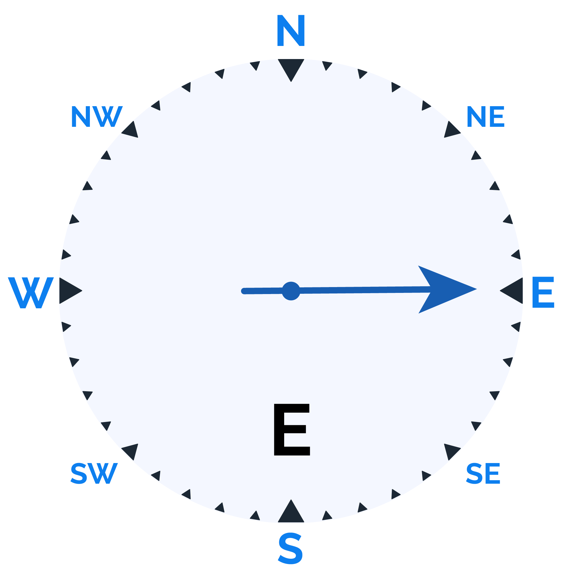
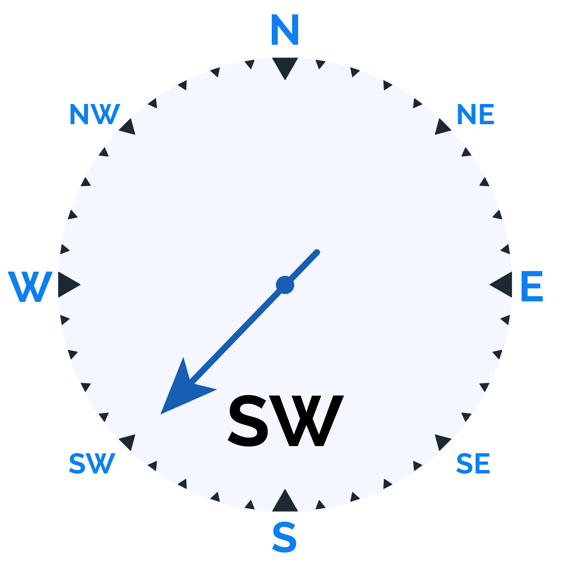
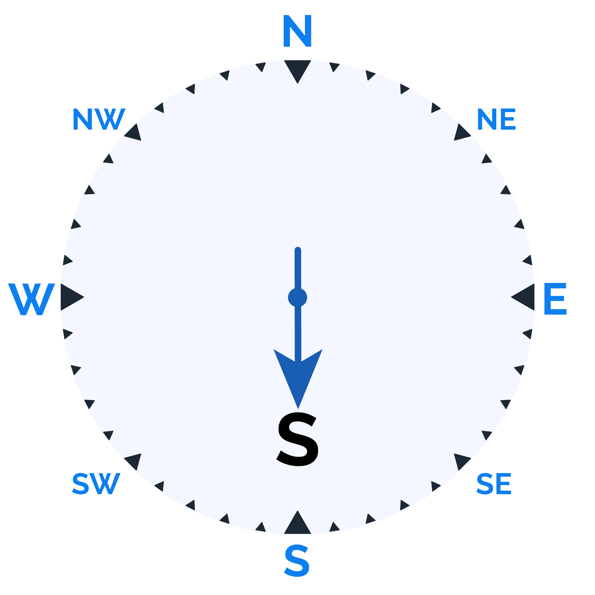
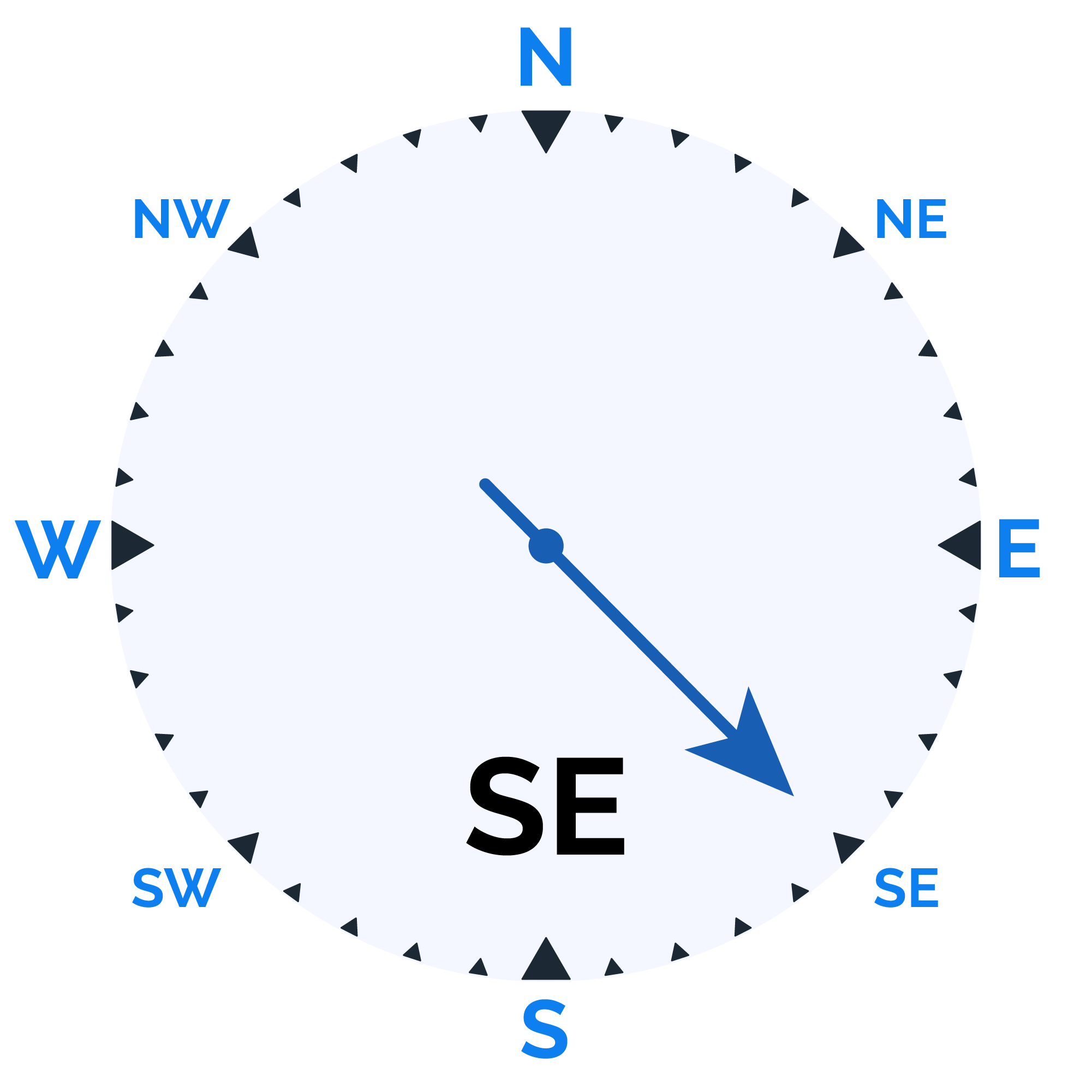
Wind speed
Humidity
Sunrise/Sunset

Moonrise/Moonset

Weather buddy
Throughout the day, temperatures will range from 23.0°C to 33.0°C with humidity levels varying between 64% and 96%. The morning will be cloudy with a slight chance of rain (2.0 mm) as winds blow at around 18.5 km/h. By evening, the weather will transition to sunny skies, with no precipitation expected and lighter breezes up to 10.2 km/h. At night, expect cloudy conditions persisting with a higher likelihood of rain (5.0 mm) accompanied by moderate winds at approximately 12.1 km/h. --- **Creating an engaging weather forecast for social media that incorporates the provided data:** "Rise and shine to a warm morning with temperatures peaking between 23°C and 31°C, while humidity hangs at a comfortable high of 72%. A few clouds dot our sky, but they'll pass quickly. Expect just a light sprinkle (around 2mm) as we ride the breeze at speeds up to 18.5 km/h. As the sun sets and casts away the morning haze, it'll be your perfect backdrop for an evening of clear blue skies—no rain in sight, with a gentle wind down to about 10 km/h." "As night falls, prepare for a chill that won't dip too low (23°C–29°C), but be mindful it might get humid, ranging from 83% to 96%. Despite the drop in temperature and increased moisture, we may still see some evening showers. Clouds will linger with a mere 2% cover, yet expect up to a modest 5mm of rain accompanied by winds picking up slightly at around 12 km/h." --- **Craft an educational weather report for meteorology students that highlights the significance of each data point provided:** The morning's atmospheric conditions are characterized by a temperature range from 23.0°C to 31.0°C, indicative of relatively warm air masses potentially originating from tropical regions or being influenced by local heat retention due to urban areas. The high humidity levels ranging between 72% and 96% suggest significant moisture content in the air, which can contribute to cloud formation and precipitation processes under conducive conditions such as temperature inversion layers that trap humidity near the surface. Cloud cover at just 4% may seem low but is representative of a stable atmospheric state with limited vertical movement; however, this could change rapidly if convective currents develop. The slight rainfall (2.0 mm) and wind speeds of up to 18.5 km/h can be attributed to localized weather phenomena such as sea breezes or frontal systems interacting with the topography, which is especially important in coastal regions where these factors are influential. For the evening forecast, temperatures will maintain a warm range but slightly decrease (31°C–33°C), suggesting no significant cooling trends overnight or strong onshore winds that could prevent warming air from settling inland. Lower humidity levels between 64% and 76% point to a drier atmosphere, which is conducive for clear skies as seen with zero cloud cover—a likely outcome of stable atmospheric conditions persisting throughout the night. The absence of precipitation (0.0 mm) further corroborates this dryness. Wind speeds diminish to 10.2 km/h, which could be due to a reduction in local convective activities or a shift in larger-scale wind patterns such as landfalling westerlies at night. At night, temperatures will decrease slightly (23°C–29°C), with the return of higher humidity levels between 83% and 96%. This increase suggests overnight moisture accumulation possibly due to nocturnal cooling leading to condensation. The presence of clouds at 2%, while still low, indicates that there may be some residual atmospheric instability or ongoing fronts bringing moist air into the region. Rainfall resumes with a significant amount (5.0 mm), pointing to more active weather systems such as passing cold fronts which are known for producing heavier showers in the nighttime hours. Wind speeds pick up slightly to 12.1 km/h, potentially driven by nocturnal low-level jets or synoptic scale wind patterns that can transport and deposit moisture into the area. This detailed examination of each weather component offers meteorology students a deeper understanding of how various atmospherentic elements interact to create specific weather conditions throughout the day, providing essential knowledge for forecasting and analysis in their future careers.
Temp (Min/Max)
CLOUDY
Humidity
90%
Dew Point
25°C
Highly Humid
Wind speed
11 km/h
Wind Speed