°C
Current temperature
5:30 AM, Jan 01, 1970Hourly
7 Days
15 Days

Weather buddy
Over the next 15 days, temperatures will gradually increase with an average daily high of around 33°C. The first noticeable temperature rise starts from June 19th when we'll see a jump to about 31°C on average. On June 21st and 23rd, expect the mercury to hit 40°C - marking the beginning of a heat wave period that lasts for two days. However, there won't be any severe heat waves exceeding 45°C during this forecast. In terms of rainfall, we'll experience significant precipitation around June 25th and 26th with over 70mm combined, but the rest of the time will see lesser amounts - averaging about 18mm daily. Wind speeds are moderate to high throughout this period, peaking at about 24km/h on the 24th day. The sky will mostly be partly cloudy with a couple of days of light rain and sunshine in between.


Rainfall probability

Wind speed


Humidity
Sunrise/Sunset

Moonrise/Moonset


Weather buddy
The day will start with cloudy conditions in the morning, ranging between 28.0°C and 38.0°C with moderate humidity levels from 42% to 58%. Wind speeds will be around 24.8 km/h. As evening approaches, expect temperatures to slightly decrease, reaching a high of 37.0°C and a low of 34.0°C with increased cloud cover at 4%, accompanied by light rain measuring approximately 6.0 mm. Nighttime will bring cooler conditions between 26.0°C and 32.0°C, similar humidity to the evening (53%-71%), with continued cloudiness and a gentle breeze of about 14 km/h.
 Temp (Min/Max)
CLOUDY Humidity
37%
 Dew Point
30°C
Highly Humid
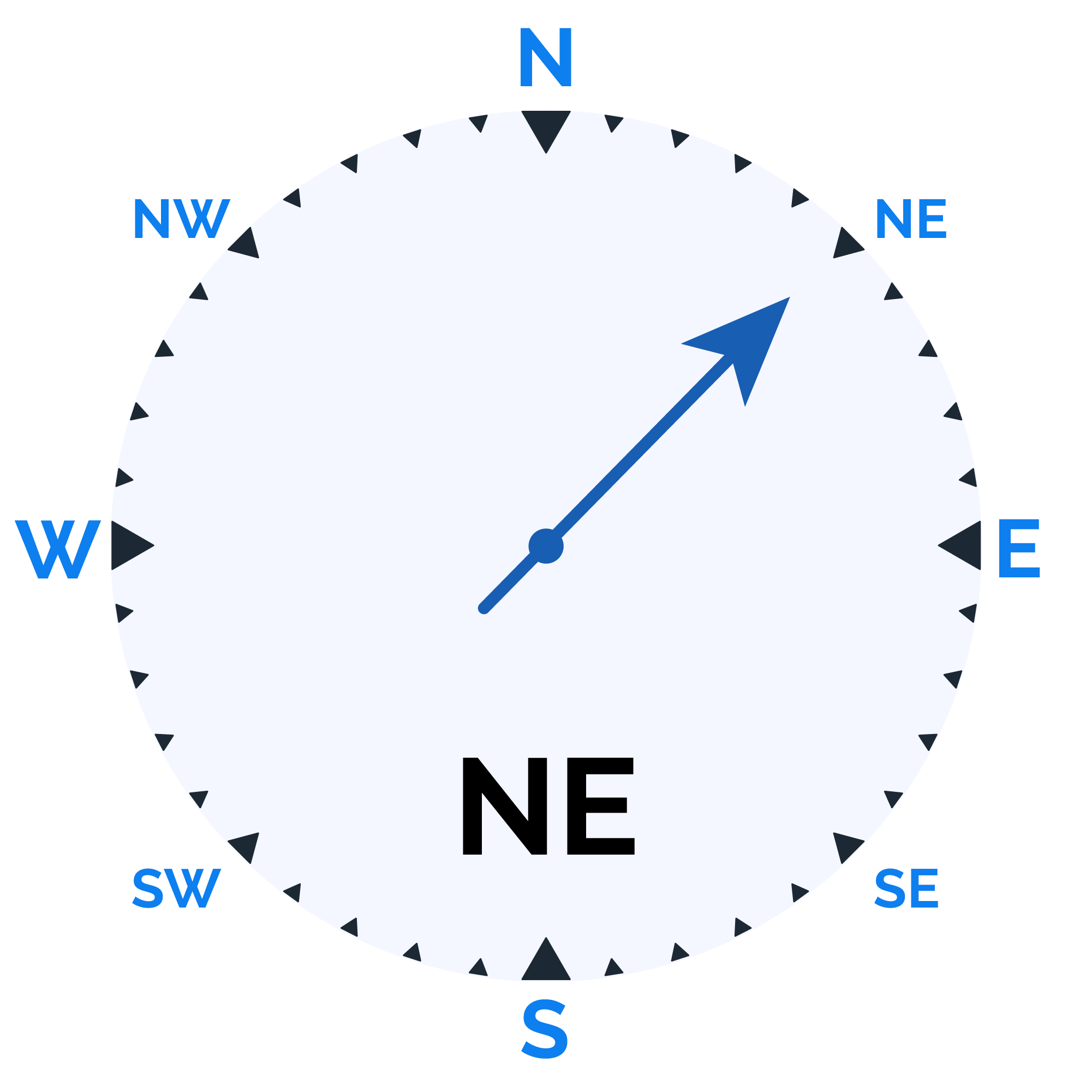
 Wind speed
16 km/h
Wind Speed