El Nino Intensity Remains Unpredictable: Peak Strength Window Tentative Too
Blue Moon and Micromoon to Coincide on 30–31 May 2026: What It Means and How to Watch from India
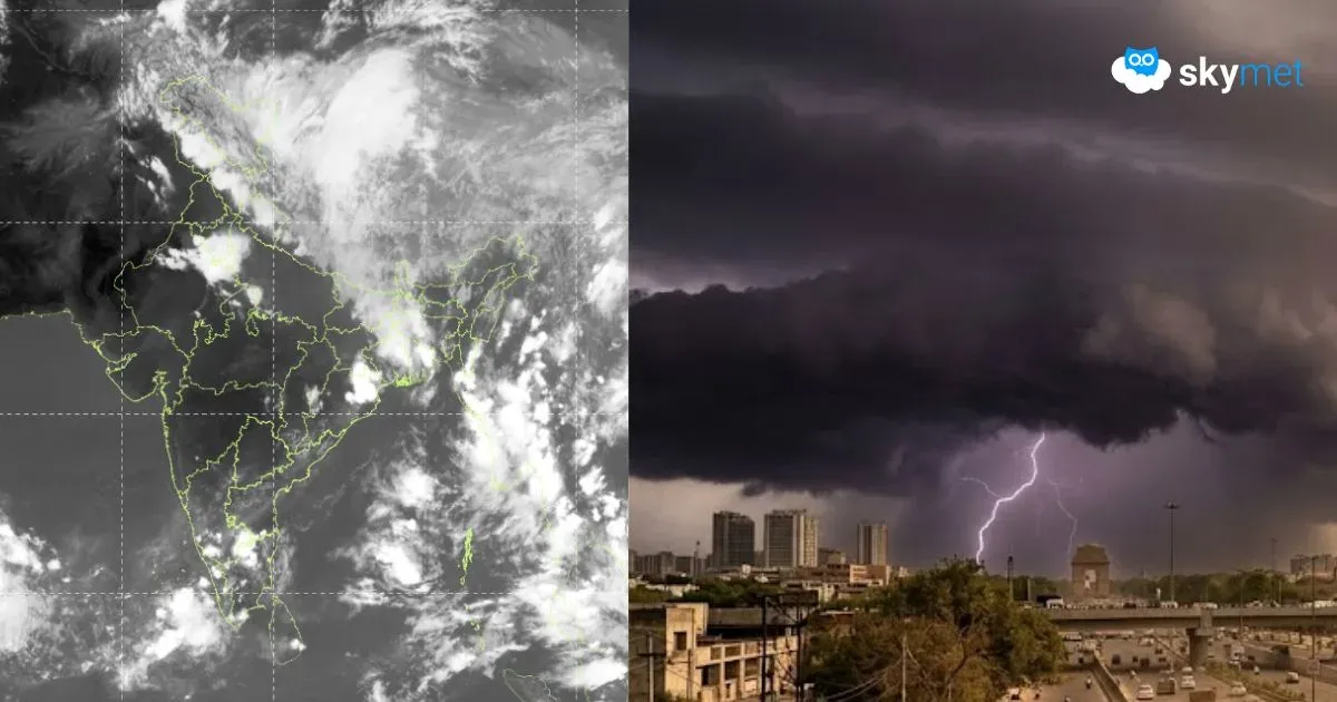
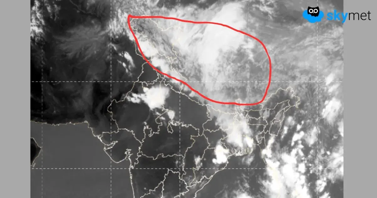
Massive Cloud Band Spreads Across North India; Relief from Heat Likely, El Niño Watch Continues
पाकिस्तान से दिल्ली-यूपी तक फैला विशाल बादल समूह, अल-नीनो पर बनी नजर, क्या बदलने वाला है मानसून का हाल?