Skymet Weekly Intelligence — 10 August 2026

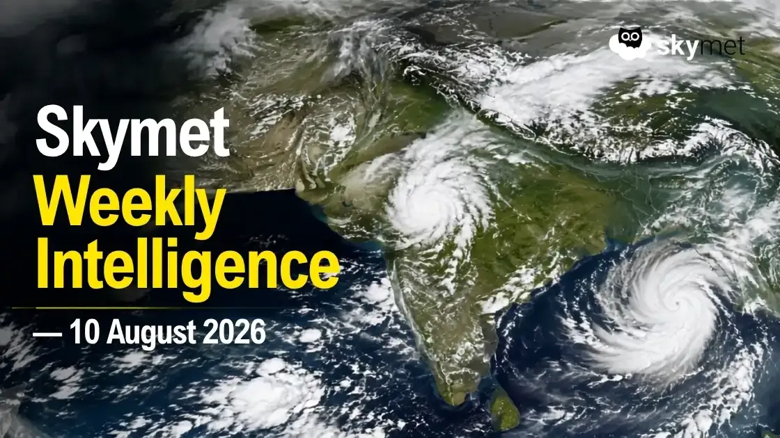
Representational Image: AI-Skymet
Key Takeaways:
- India's monsoon deficit has narrowed to around 11% below normal, but regional disparities remain.
- Central India and the Western Himalaya remain the key heavy-rain zones.
- A fresh low-pressure area may form over the Northwest Bay of Bengal around 12–13 August.
- Reservoir storage is improving, but basin-level water stress persists.
- El Niño is approaching strong territory, with signs of a Canonical pattern.
Advertisement
India's monsoon landscape is becoming increasingly complex as the season moves deeper into August. While the national rainfall deficit has narrowed to around 11% below normal, the recovery remains uneven. Central India and the Western Himalaya remain the immediate rainfall hotspots, while a fresh weather system brewing over the Northwest Bay of Bengal could shift the focus eastwards later this week.
Advertisement
At the same time, the Pacific is showing an increasingly distinct El Niño signature. The warming pattern is beginning to resemble a Canonical El Niño, which has historically had a stronger influence on Indian monsoon rainfall. Reservoir conditions are improving following recent rains, but basin-level disparities remain. Meanwhile, India's rapidly expanding renewable-energy capacity is making short-range weather forecasting increasingly relevant to the power sector.
Central India Remains the Immediate Rainfall Focus
Recent rainfall has kept Central India active, with Madhya Pradesh emerging as one of the principal rainfall zones.
Skymet's latest forecast indicates moderate to heavy rain over Madhya Pradesh. Himachal Pradesh, Uttarakhand, Chhattisgarh, Odisha, Coastal Karnataka and Kerala may receive light to moderate rain with a few heavy spells.
Light to moderate rainfall is also possible over Uttar Pradesh, Haryana, Punjab, Jharkhand, West Bengal, Konkan and Goa, Vidarbha and North Gujarat, among other areas.
Light rain is possible over Delhi in the immediate 24-hour period, while Bihar is expected to remain comparatively subdued. However, Skymet's more detailed Delhi assessment indicates that showers may intensify on 11 August, with some heavy and longer-duration spells possible.
The prevailing weather systems support this distribution. A low-pressure area has moved over North Madhya Pradesh and adjoining areas, with its associated circulation extending deep into the troposphere. The monsoon trough is also passing through the system, keeping Central India meteorologically active.
A Fresh Weather System Is Brewing Over the Bay
Attention will increasingly shift towards the Northwest Bay of Bengal as the week progresses.
A cyclonic circulation is already positioned over the Northwest Bay and adjoining areas. Skymet's 11:45 IST assessment placed the likely formation of a fresh low-pressure area over the region around 13 August. IMD's later 18:00 IST bulletin advanced the likely timing to around 12 August. The operational formation window should therefore be described as 12–13 August.
The eventual strength and movement of this system will determine the extent to which rainfall increases over eastern and adjoining central parts of the country. At this stage, confidence remains higher in the broader development of the system than in district-level rainfall amounts or precise timing several days ahead.
Advertisement
Reservoir Recovery Improves, But Water Risks Remain
Recent monsoon rainfall has improved reservoir inflows across several parts of India, an important development after a season characterised by significant geographical differences in rainfall.
Live storage in the 166 reservoirs monitored by the Central Water Commission stood at 96.966 billion cubic metres (BCM) on 6 August 2026, or 52.82% of their combined live storage capacity. This marks a sharp weekly improvement from 81.479 BCM, or 44.39%, on 30 July. Storage nevertheless remains well behind last year, when the same reservoirs held 132.368 BCM during the corresponding period.
The regional picture is uneven. The Western region is the only one running ahead of last year, at 75.86% of capacity against 73.76% a year earlier. The Central region stands at 47.38% against 72.53% last year, the Eastern region at 47.19% against 54.97%, the Northern region at 45.80% against 70.43%, and the Southern region at 46.47% against 77.96%.
However, aggregate reservoir storage does not reveal the complete picture.
Individual reservoirs can move in different directions during the same period. Strong rainfall over a catchment can rapidly raise one reservoir while another remains under stress. Storage at flood-control reservoirs can even decline during wet spells when water is deliberately released to maintain sufficient flood cushion.
For agriculture, hydropower and water-resource planning, basin and reservoir-level conditions therefore provide a more useful assessment. Rainfall, inflow, storage and controlled releases need to be considered separately rather than relying solely on national storage figures.
El Niño Is Beginning To Resemble the Canonical Pattern
The Pacific signal deserves closer attention as the Indian monsoon moves into its second half.
Equatorial sea-surface temperatures remain above average across the central and eastern Pacific, while atmospheric circulation anomalies are consistent with El Niño conditions. More importantly, the distribution of the warming is changing significantly.
The Niño 4 anomaly in the western part of the monitored Pacific declined from +0.8°C on 22 June to +0.2°C on 3 August. At the other end of the basin, Niño 1+2 strengthened sharply from +2.1°C to +3.2°C over the same period.
Meanwhile, Niño 3.4 — the principal index used for monitoring El Niño — increased from +1.2°C on 29 June to +1.5°C on 3 August.
The +1.5°C anomaly reaches the temperature threshold associated with a strong El Niño. However, strong El Niño conditions cannot yet be considered established. The anomaly needs to remain at or above the required level for several weeks.
More significant is the widening temperature contrast across the equatorial Pacific. Rapid warming towards the eastern Pacific, accompanied by cooling farther west, increasingly resembles a Canonical, or Eastern Pacific, El Niño.
Canonical El Niño events feature stronger warming over the eastern equatorial Pacific and can cause greater disruption to the Walker Circulation. Historically, this configuration has been associated with increased rainfall variability and a higher risk of monsoon deficits across Central, Western and parts of North India.
Madhya Pradesh and Chhattisgarh are among the vulnerable regions in Central India. Maharashtra, particularly Marathwada and Vidarbha, and Gujarat, including Saurashtra and Kutch, can also experience greater variability. Parts of Rajasthan, Uttar Pradesh and the Haryana–Delhi belt are vulnerable as well.
Bihar, Jharkhand, Odisha and parts of the interior southern peninsula can also face below-normal rainfall risk under such a configuration.
This does not imply continuously dry weather across these regions. The ongoing heavy-rain spell over parts of Central India demonstrates an important characteristic of the monsoon: intense rainfall episodes can occur even within a season that remains vulnerable to an overall rainfall deficit.
The second half of the monsoon therefore requires particularly close monitoring. Skymet's latest assessment suggests that moderate El Niño conditions are approaching strong-El Niño territory, although the rise in Niño 3.4 may not be rapid enough for strong El Niño conditions to become established during August itself.
IOD Is Turning Positive, But Is Not Established Yet
The Indian Ocean Dipole index stood at +0.63°C for the week ending 2 August, remaining above the +0.4°C positive threshold for a second consecutive week. However, these values need to persist for several more weeks before a positive IOD can be considered established.
Models suggest a positive IOD may develop by September. Its timing and strength will remain important to watch alongside the evolving El Niño during the latter part of the monsoon season.
MJO Offers Little Immediate Support to Indian Monsoon Systems
The Madden-Julian Oscillation remains weak but is expected to move eastwards towards the Maritime Continent and restrengthen.
The evolving MJO phase favours tropical activity over the West Pacific rather than the Indian seas, while El Niño-related wind shear also limits broader support for active monsoon-system formation over the region.
India’s Power Risk Is Becoming Increasingly Intraday
India's rapidly growing renewable capacity is also changing the relationship between weather and electricity supply.
Strong solar generation can create abundant electricity during daylight hours. After sunset, solar output falls away while evening demand can remain elevated, creating an increasingly important divide between daytime abundance and evening scarcity.
Rain and cooler temperatures may temporarily reduce cooling demand during the day, but they do not necessarily ease the post-sunset supply squeeze.
On 10 August, IEX's Day-Ahead Market averaged ₹3.772/kWh, ranged from ₹1.111/kWh to ₹10/kWh, and remained at the ₹10/kWh ceiling from 19:00 to 23:00. This indicates exchange-market tightness after sunset, not an all-India electricity shortage.
India crossed 300 GW of non-fossil installed electricity generation capacity as of 31 July 2026, reaching 300.50 GW, which is more than 54% of the country's total installed capacity of around 552 GW. This comprises 164.59 GW of solar, 58.14 GW of wind, 57.24 GW of hydropower including large and small hydro, 11.75 GW of bio-power and 8.78 GW of nuclear.
As renewable capacity expands, short-range weather forecasting is becoming increasingly important not only for anticipating electricity demand but also for estimating renewable generation.
The Week Ahead
The coming days will require attention on multiple fronts.
Central India and the Western Himalaya remain the immediate rainfall focus, while the expected formation of a low-pressure area over the Northwest Bay of Bengal around 12–13 August could alter the rainfall distribution over eastern and adjoining central India.
Beyond the short-term weather, the evolving Canonical El Niño signature will become increasingly important as the monsoon enters its second half. A potentially positive IOD adds another variable to the late-season outlook.
Recent rainfall may improve reservoirs and ease water stress in some regions, but national averages should not obscure basin-level differences. Similarly, India's renewable-energy expansion is making weather variability increasingly important at an hourly level for the power sector.
The broader picture is therefore not simply one of monsoon recovery or monsoon weakness. India is entering a phase where rainfall distribution, evolving ocean-atmosphere signals, water availability and energy demand need to be tracked together rather than in isolation.