Cyclonic Storm 'Montha' To Become Severe : Landfall Tomorrow


Cyclonic Storm Montha
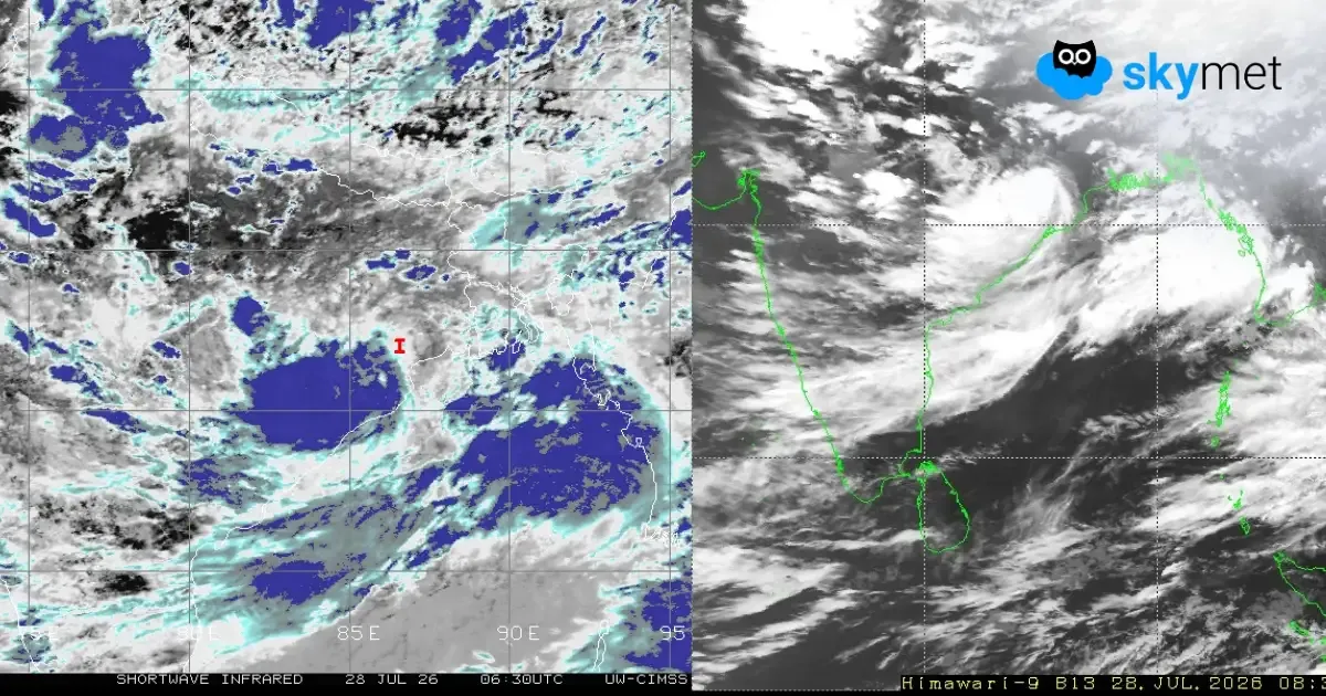
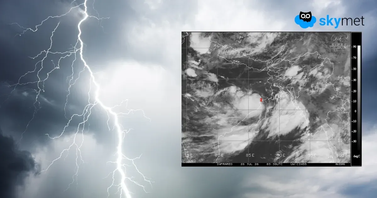
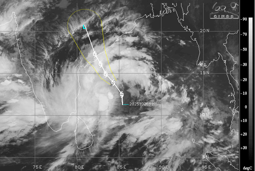
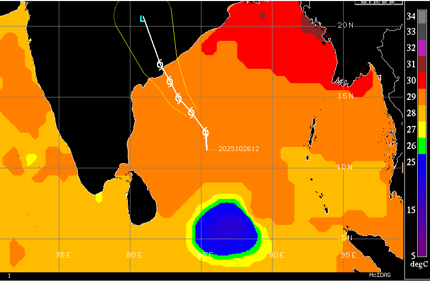
The deep depression over the Bay of Bengal intensified into a cyclonic storm last night. The storm is centered around 12°N and 85°E, over the Southwest and adjoining Southeast Bay of Bengal. The cyclone will move west-northwest for another six hours and thereafter add more of a northerly component. During this phase, it is likely to gather more strength and become severe by late evening today. It is likely to head for the Andhra Pradesh coast and strike sometime tomorrow evening.
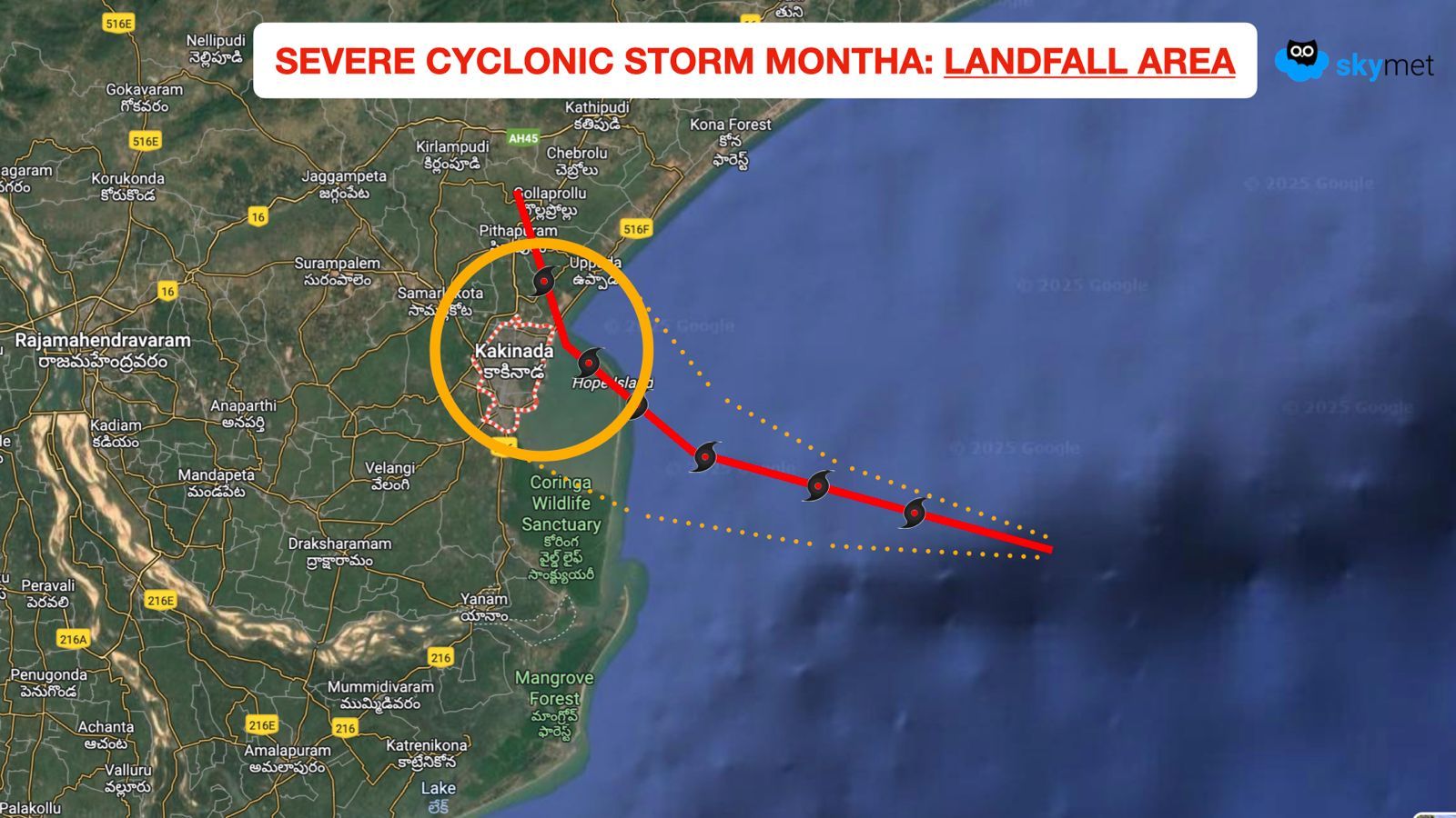
Cyclonic Storm Montha track
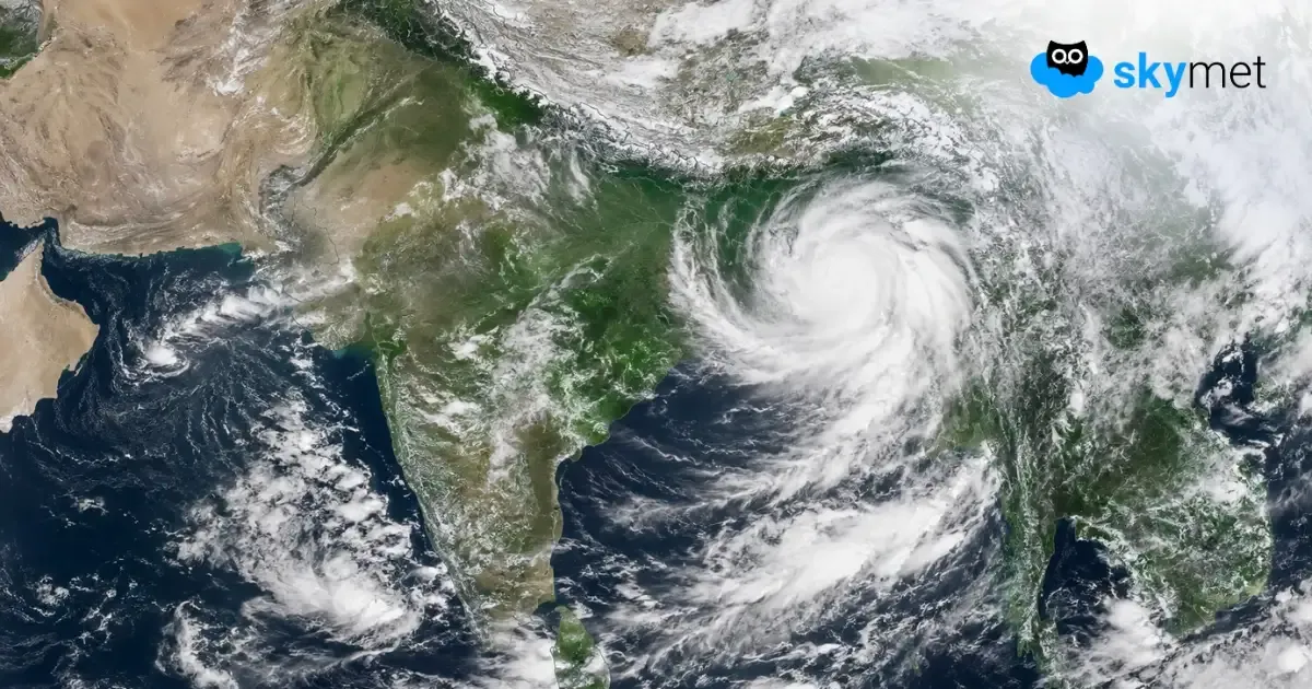
The tropical storm is named ‘Montha’ by the member country Thailand. This is the first cyclonic storm of the year and the season, both over the Bay of Bengal. Earlier, Cyclone Shakhati had formed over the Arabian Sea in the first week of October 2025. This storm did not make any landfall and fizzled over the sea itself. The tropical storm ‘Montha’ will be a borderline severe storm and may barely reach the threshold mark of a sustained wind speed of 90 km/h for the severe category. The storm is under environmental conditions of strong vertical wind shear, which is partially being offset by warm sea surface and significant outflow. The tropical storm will retain its strength till just short of crossing the coastline. As it normally happens, by and large, all storms weaken a bit before making landfall because of land friction and entrainment. Notwithstanding, the cyclone will have the potential to carry gusty winds in excess of 90 km/h. The combination of incessant heavy rains and strong gale-force winds together carries enormous damaging potential, which needs to be guarded against at the time of crossing the coastline.
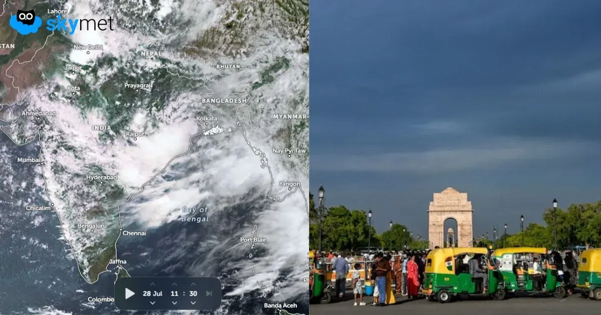
The cyclone will make landfall somewhere close to Kakinada, a Deep Water Port located in the East Godavari district of Andhra Pradesh. The coastline between Machilipatnam and Kalingapatnam will be at a bigger risk of inclement weather conditions. The peripheral cloud bands have already reached Coastal Andhra Pradesh, and light rain has commenced over some parts like Vizag, Kakinada, and Machilipatnam. Even inland stations like Vijayawada have started raining. The intensity and spread will keep on increasing gradually. The southwestern sector of the storm will have more intense weather, which includes East & West Godavari, Eluru, Kakinada, Rajahmundry, Konaseema, and Bhimavaram.
Schools and colleges have been shut for the duration of the storm. Evacuations need to be completed at the earliest by evening today. Offices and commuting need to be extremely restricted and rather avoided for the next three days. Rail, road, and air operations are likely to be hit simultaneously. Communication and connectivity are expected to be disrupted in many areas. Sea conditions will be very rough and best avoided by fishermen. Disaster relief teams need to be in a high state of preparedness and able to respond at very short notice, almost in real time.