

Deep Depression Crosses Coast: Very Heavy Rainfall Over Odisha-Chhattisgarh

Key Takeaways:
- Deep depression crossed the Odisha coast near Digha and is moving west-northwest slowly across eastern India.
- Interior Odisha and central-southern Chhattisgarh face the highest risk of flooding rains during the next 24 hours.
- The system will weaken over Madhya Pradesh but continue to spread rain toward Rajasthan and North India.
- The southwest monsoon will remain active to vigorous across eastern, central and northern India for the next week.
- Forecast Validity: Next one week.
Advertisement
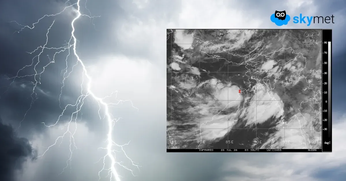
The deep depression over the Northwest Bay of Bengal (BoB) crossed the coast near Digha during the early morning hours today. It is centered around 22°N and 87°E, close to Balasore. It is likely to move west-northwest across North Odisha, South Jharkhand and North Chhattisgarh. As usual, the strong convergence zone of the deep depression is placed in the southwest sector, covering the interiors of South Odisha and the southern parts of Chhattisgarh. These parts are at risk of experiencing flooding rains over the next 24 hours.
Advertisement

The deep depression has caused widespread heavy rain and thundershowers over the southern half of Odisha and the coastal parts. The highest rainfall of 247 mm was recorded at Balasore. Three-digit rainfall in the last 24 hours was also recorded over Puri, Hirakud, Rourkela and Keonjhargarh. Moderate to heavy showers lashed parts of West Bengal and Chhattisgarh. The deep depression will move very slowly and is expected to remain over the region for about 48 hours. Subsequently, it may weaken into a depression and further into a well-marked low pressure area over Madhya Pradesh. The rains will then spread farther inland and reach Rajasthan. Following interaction with the westerly systems, the plains of North India, covering Punjab, Haryana, Delhi, West Uttar Pradesh and the foothills of Uttarakhand and Himachal Pradesh, are also likely to receive heavy rainfall.
The immediate concern of very heavy rainfall will be over the interiors of Odisha and the central and southern parts of Chhattisgarh. The vulnerable locations will include Gajapati, Rayagada, Koraput, Malkangiri, Kalahandi, Nabarangpur, Raipur, Bilaspur, Durg, Rajnandgaon, Kanker, Bastar, Dantewada and the adjoining areas. Heavy showers will also extend to the adjoining parts of Madhya Pradesh, Vidarbha and Telangana. The states of Gujarat, Madhya Maharashtra and the Konkan region, including Mumbai, which were battered by last week's downpour, are likely to be spared any extreme weather activity. The southwest monsoon will remain active to vigorous over the next week across eastern, central and northern parts of the country, albeit in a staggered manner. A caution has been issued for flooding rains across these regions, which may disrupt normal activities.



