Extremely Heavy Rains In Gujarat: Better Weather Conditions Tomorrow

Key Takeaways:
- South Coastal and central Gujarat witnessed extremely heavy rainfall, causing widespread flooding and major disruptions.
- Ahmedabad recorded its heaviest 24-hour rainfall in over two decades, surpassing previous July rainfall records.
- Multiple weather systems combined to trigger the exceptional rainfall event across the state.
- The heaviest rainfall is expected to shift towards central Gujarat before weather conditions improve from tomorrow onward.
- Forecast Validity: Next 2 to 3 days.
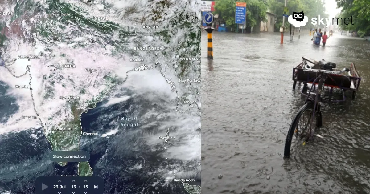
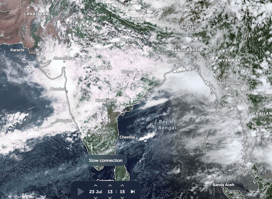
As predicted, very heavy rainfall lashed most parts of Gujarat. Extremely heavy downpours battered South Coastal Gujarat and the central parts of the state. The worst-affected areas included the coastline from Vapi and Valsad to Surat and Navsari. There have been reports of unprecedented rainfall exceeding 1,000 mm in 24 hours at Umergam village in the Valsad region.
Heavy rainfall recorded during the past 24 hours includes Valsad (227 mm), Ahmedabad (295 mm), Dang (281 mm), Gandhinagar (216 mm), and Baroda (173 mm). Many other stations have registered heavy showers, with rainfall ranging between 50 mm and 100 mm.
The incessant rainfall has resulted in widespread waterlogging, localized flooding, and traffic disruptions across the region. Flight operations have also been impacted, with delays and cancellations reported. Rivers, streams, and reservoirs are likely to overflow at some places, raising the threat of inundation in low-lying pockets
Ahmedabad has recorded its heaviest 24-hour rainfall in more than two decades. Earlier, the city had recorded 288.1 mm of rainfall on July 30, 2014. So far this month, Ahmedabad has received 340.5 mm of rainfall, surpassing its normal July rainfall of 310 mm. Rain is continuing, and some heavy showers are likely today. With these ongoing rains, more rainfall records may be broken during the remainder of July.
Multiple weather factors working in tandem have resulted in this unparalleled deluge across many parts of Gujarat. The tightly enclosed cyclonic circulation over the tri-junction of Rajasthan, Gujarat, and Madhya Pradesh has been further complemented by moisture-rich southwesterly winds from the northeast Arabian Sea. In addition, the presence of an east-west-oriented shear zone extending from South Gujarat to West Bengal has enhanced convective cloud development over the region. The convergence zone has also been strengthened by the orographic features in the surrounding areas. The cyclonic circulation is now expected to shift northward, covering South Rajasthan and adjoining parts of Gujarat.
The worst phase now appears to be over for the state. The heavy rainfall belt will gradually shift from the flood-hit South Coastal Gujarat to the central parts of the state. Places at risk of heavy rainfall over the next 24 hours include Ahmedabad, Gandhinagar, Kheda, Godhra, Dahod, Nadiad, Aravali, Viramgam, Mehsana, and Sabarkantha.
The cyclonic circulation, which has been the primary trigger for the intense weather activity, is expected to weaken tomorrow. It will also shift towards the western and central parts of Rajasthan, taking the weakened rainfall belt along with it. Weather conditions are likely to improve across most parts of Gujarat from tomorrow, with further improvement expected on Sunday. Thereafter, partly cloudy skies and scattered light rainfall will continue as part of the normal monsoon activity over many parts of the state.
Trending:
