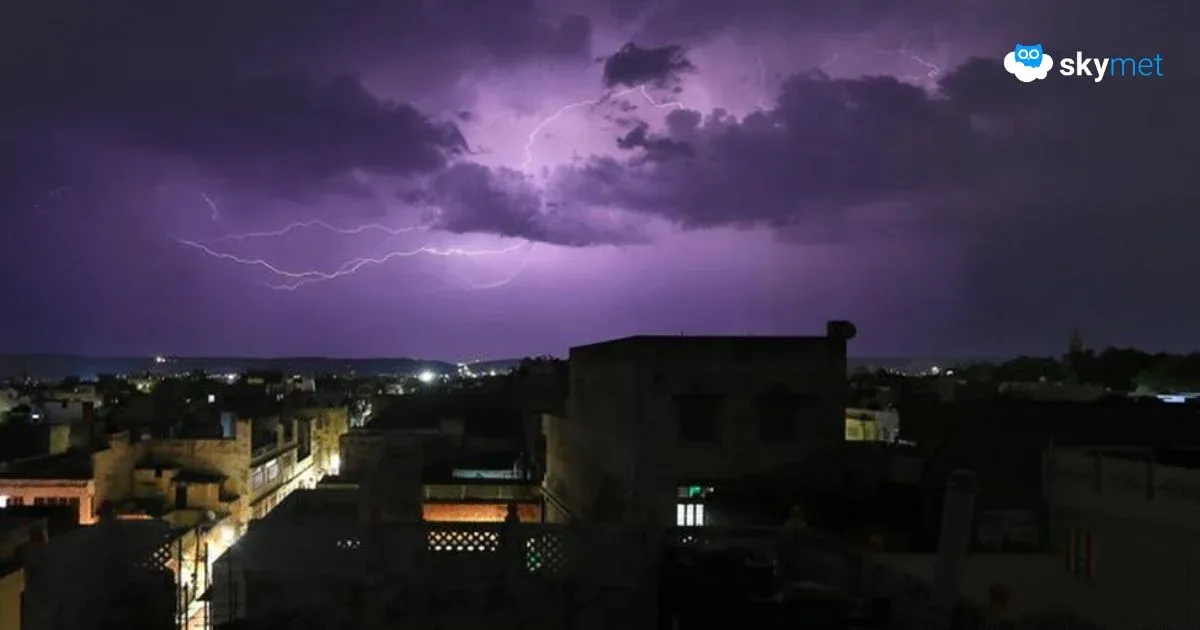
Heavy Rain Lash Gujarat: Intense Weather Activity For Two More Days


Image: AI-Skymet
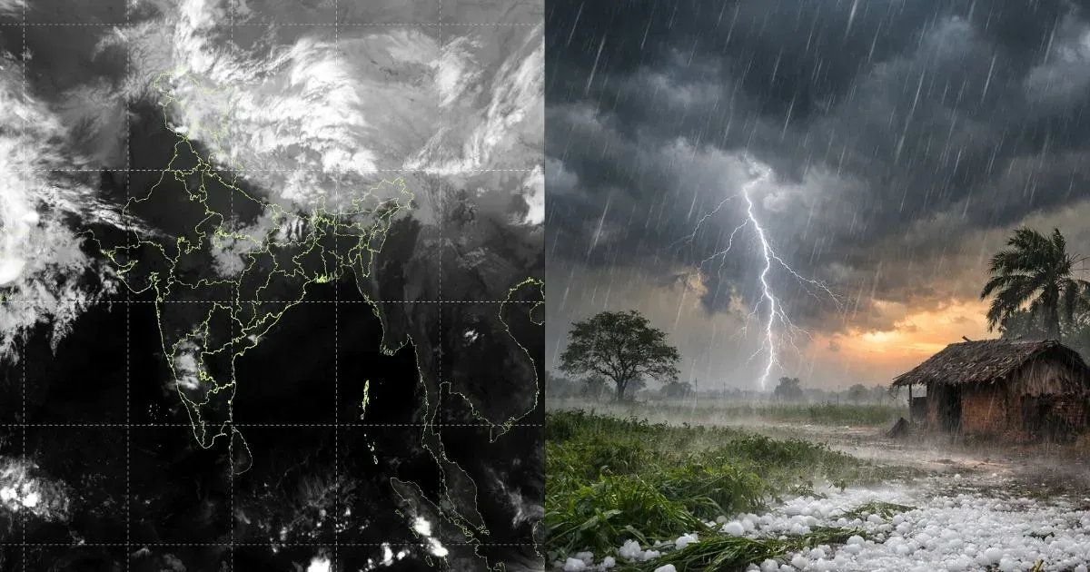
As predicted, some parts of Gujarat have witnessed strong pre-monsoon activity over the last 3 days. Yesterday, the coastal town of Mahuva observed record rainfall of 144 mm, and VV Nagar, a municipal area of Anand, recorded a downpour of 89 mm. Baroda, Amreli, and Dang registered rainfall of 59mm, 46 mm, and 41 mm, respectively. Ahmedabad recorded moderate showers amounting to 19 mm of rainfall during the last 24 hours. More showers are expected for the state during this week.
There is a cyclonic circulation over South Rajasthan and Gujarat at the lower levels. The circulation is likely to come up over the Northeast Arabian Sea, in the close proximity of Saurashtra and the South Gujarat Coast. This feature will persist for 3 days, between 08th and 10th May 2025. Later, an elongated north-south trough will replace this pattern, still remaining favourable for the weather activity.
The intense weather activity will be confined to parts of Saurashtra and North Gujarat today. The places at risk will include Bhavnagar, Mahuva, Amreli, Junagadh, Botad, Diu, Somnath, and Veraval. Moderate rains will pan across other parts of Saurashtra and Kutch. Scattered heavy rains are also likely over North and Central Gujarat today. Vulnerable places will include Banaskantha, Sabarkantha, Palanpur, Patan, Deesa, Dhanera, Sidhpur, Ahmedabad, and Gandhinagar.
For the next two days, on 08th and 09th May, heavy rain and thundershowers will take place over North and Central Gujarat. Most parts of Saurashtra and Kutch will receive moderate weather activity during this period. Weather conditions will turn better on 10th and 11th May and shrink to minimal locations on 12th May. Broad clearance over the state will commence from the 13th onward and stay good, at least for the subsequent week.