Record Rainfall In Bengaluru: More Showers Ahead


Key Takeaways:
- Bengaluru recorded 111 mm rainfall, far exceeding April’s normal
- Rainfall distribution varied sharply across HAL and Devanahalli
- Pre-monsoon showers to continue for next 4–5 days
- Stormy start to May expected across South Interior Karnataka
As was predicted earlier, the capital city Bengaluru was lashed with very heavy rain and thundershowers yesterday evening and early night. Though the rainfall was not evenly spread across the city, the amounts varied largely. Bengaluru city was deluged with a record 111 mm rainfall, followed by 34 mm as registered by the observatory at HAL. The international airport, Devanahalli, recorded the least of all, about 13 mm rainfall.
April marks the beginning of the pre-monsoon season, often characterized by convective thunderstorms and high temperatures. April is taken as the hottest month, as the seasonal showers cool the city more often in May. The normal rainfall for Bengaluru in April is about 61.7 mm. After prolonged dry conditions for nearly the entire April, an intense thunderstorm on 29th April brought relief with widespread rains, breaking previous records. More showers are likely over the city and suburbs for the next 4–5 days.
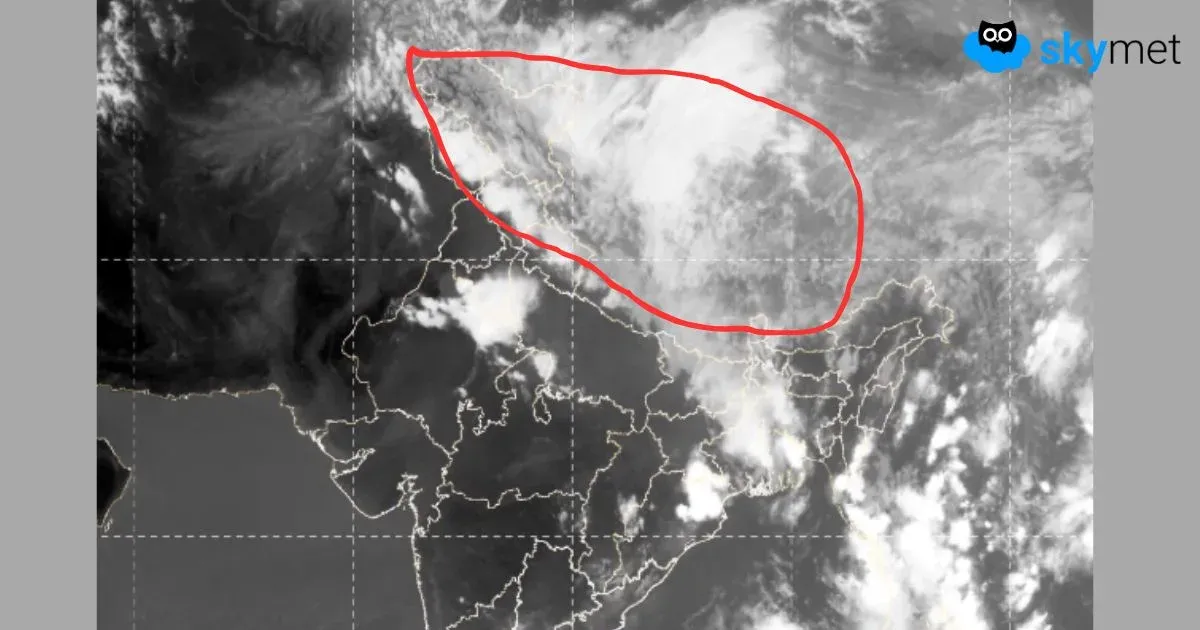
A wind discontinuity/north-south trough is extending from Telangana to the Gulf of Mannar, across North and South Interior Karnataka and Tamil Nadu. The feature is likely to persist, with minor east-west oscillations, for the next about 4 days. Moist southerly winds are penetrating deep inside the Tamil Nadu and Andhra Pradesh coast. This combination will trigger pre-monsoon showers more frequently over South Interior Karnataka in general and the capital city Bengaluru in particular.
The month of May is likely to start on a stormy note for Bengaluru, Mysuru, Mandya, Chamarajnagar, Kolar, Hassan, Tumkur and Chitradurga. Being placed on a plateau with an elevation of about 3,000 feet, the tech city Bengaluru is frequently affected by rain and thunderstorms in May. The monthly average rainfall rises to 128.7 mm, more than twice that of April. The mean monthly day temperature reduces by a degree in May as compared to April. The arrival of the southwest monsoon takes place in the first week of June.
Trending: