Early Western Disturbance Hits Himalayas; Gulmarg Records First Snowfall of the Season

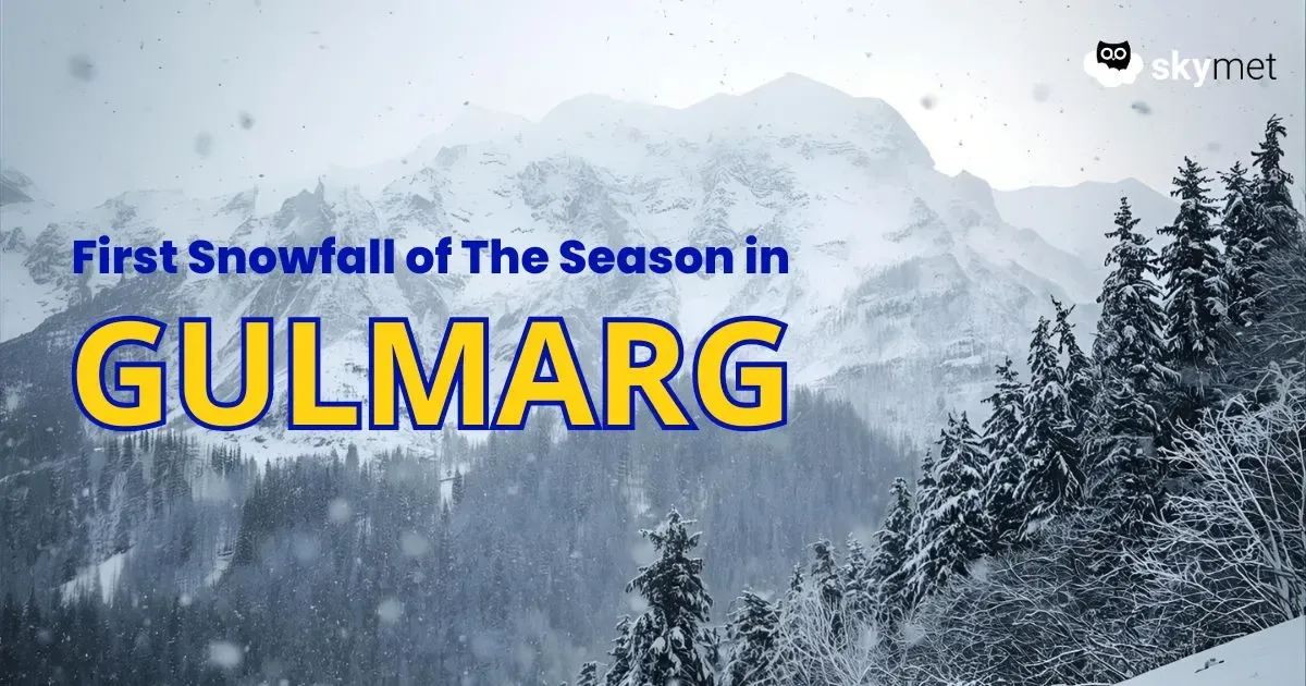
Image: AI-Skymet
The picturesque hills of Gulmarg witnessed the first snowfall of the season on October 2, marking the arrival of winter charm in Jammu and Kashmir. Alongside, many parts of the Union Territory experienced scattered rainfall and light snow over the higher reaches of the Western Himalayas. A fresh Western Disturbance is likely to impact the Western Himalayas from October 4 onwards. Adding to this, humid winds from the Arabian Sea are expected to feed ample moisture into the hills, setting the stage for another spell of wet weather.
Light rain with one or two moderate spells is expected to begin over Jammu and Kashmir on October 4. By October 5, the intensity of rainfall and snowfall will gradually increase. The system is likely to peak, bringing moderate to heavy rain and isolated snowfall across higher altitudes on October 6.
The upcoming disturbance will not be confined to Jammu and Kashmir alone. Upper reaches of Himachal Pradesh are also likely to receive isolated snowfall, while moderate to heavy rain may lash parts of Himachal Pradesh and Uttarakhand between October 6 and the morning of October 8. With heavy rainfall and snowfall in store, landslides, mudslides, and traffic disruptions cannot be ruled out across hilly terrain. Travelers and tourists are advised to remain cautious, especially on vulnerable stretches of highways.
Typically, Western Disturbances intensify from November onwards. However, this year, an active system has arrived unusually early in October, raising hopes of abundant snowfall in popular hill destinations. This early onset could boost tourism in Gulmarg and other Himalayan getaways, uplifting local spirits and businesses that depend heavily on winter travel. As the first flakes blanket the slopes, Gulmarg’s white charm is back, with more snow on the way in the coming days.
