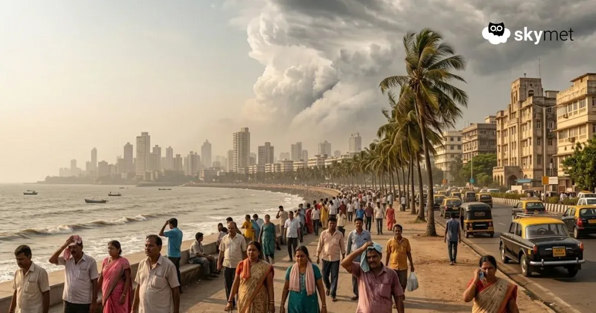
We often hear weather forecasters talking about ‘low pressure areas’ bringing cloudy weather and precipitation in a particular region. In this article we will find out what a low pressure is, why it forms and what effects it has on weather.
Definition
Low pressure area or a ‘low’, is a region where the atmospheric pressure is lower than the surrounding areas but at the same level. Lines or isobars on the weather charts represent the presence or absence of any low pressure area.
What causes a low pressure area?
A low pressure system develops when warm air rises from the Earth's surface and the air in the surrounding area rushes in to fill the empty space, thus forming a heavy inflow of wind.
In a low pressure area winds rotate in the anti-clockwise direction around the centre of the system, which is suggestive of some weather in terms of precipitation, clouds, rise in temperatures and strong winds. A low pressure area is invariably associated with a cyclonic circulation. Brent McRoberts of Texas Atmospheric Sciences University explains, “as the warm and humid air rises, it may become thick enough to produce rain’.
High Pressure Area
A high pressure area is a region where the atmospheric pressure at the surface is greater than its surrounding areas. Winds within the high-pressure areas flow in a clockwise direction, indicative of good weather conditions. Areas of high pressure are usually associated with clear and sunny weather as they are the direct opposite of a low pressure system. Tropical areas are well-known for frequent formation of low pressure and high pressure areas.