Depression Over Arabian Sea : Heavy Rains Likely In Gujarat - Konkan


Depression Over Arabian Sea
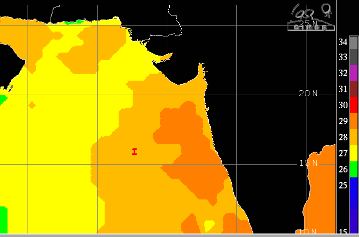
A depression has been lingering over the central Arabian Sea for the last 2–3 days. Earlier, this system had formed as a low-pressure area over the Southeast Arabian Sea, in the proximity of the Lakshadweep region, on 22nd Oct 2025. The weather system moved in all possible directions but kept a safe distance from the West Coast. It is now lying as a depression and centered around 16°N and 67°E, over the East-Central Arabian Sea. It is equidistant from Mumbai and Goa, by over 600 km each, over the deep waters of the Arabian Sea.
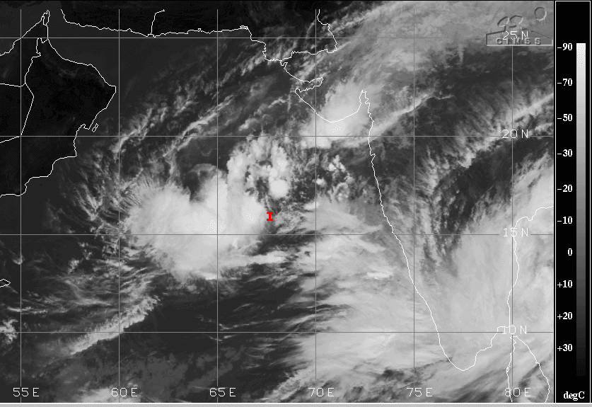
The depression has moved in a zig-zag way over the past 48 hours. It is expected to move northeastward, closing in on the Indian coastline but still at a safe distance for any fierce weather activity. Under the influence of the system, there were fairly widespread moderate to heavy rains over Coastal Karnataka, Konkan & Goa, and some parts of Gujarat. Heavy rains lashed Goa, Karwar, Honavar, and Diu and moderate showers drenched Mumbai, Dahanu, Surat, Bhavnagar, Amreli, Baroda, and Gandhinagar.
The depression is likely to meander over the same area, with a tendency to shift northeastward, for the next 24 hours. While it may not strengthen appreciably during this period, it will still have the potential to bring heavy rains at a few places. Places at risk will include North Konkan (including Mumbai), South Gujarat (including Surat), and large parts of Saurashtra, including Bhavnagar, Veraval, Mahuva, Amreli, Diu, Junagadh, and Somnath. The rains will travel over Central Gujarat to reach Baroda, Ahmedabad, Anand, and Gandhinagar. This weather activity will go on for the next 4–5 days, with varying intensity and spread. As the system comes closer to Saurashtra and the Gulf of Cambay, it may dump heavy rains along the southern coastline of Saurashtra. The weather system needs to be kept under close watch for any rapid intensification over the next 48 hours.


