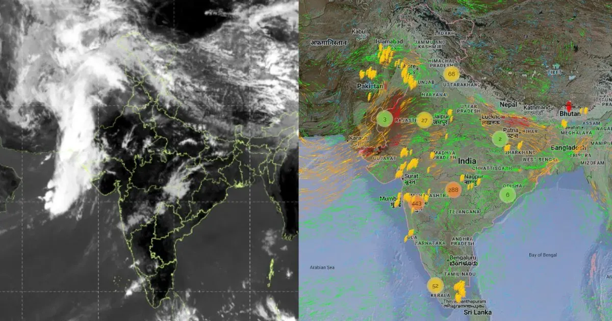
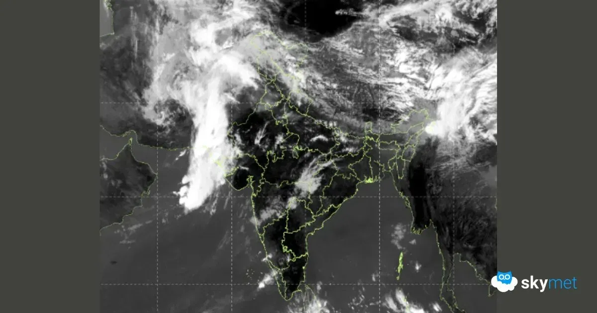
Rain Alert: देशभर में तेज प्री-मानसून एक्टिविटी, बारिश-आँधी का खतरा, जानें किन राज्यों में होगा असर
Big Spell Of Pre-Monsoon Weather Over Many Parts Of The Country
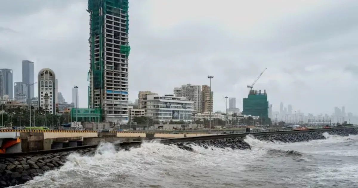
मुंबई में हल्की बारिश के आसार, जानें कब तक रहेगा गर्म और उमस भरा मौसम
Light Showers For Mumbai Likely: Warm-Humid Conditions To Continue