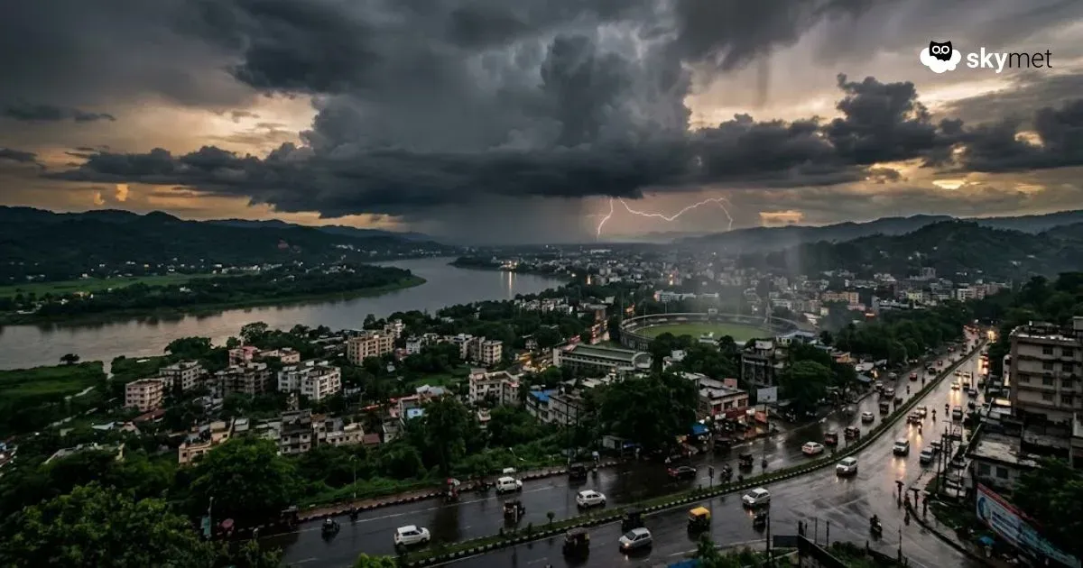
Northeast India To Have Increased Pre-Monsoon Activity Next Three Days
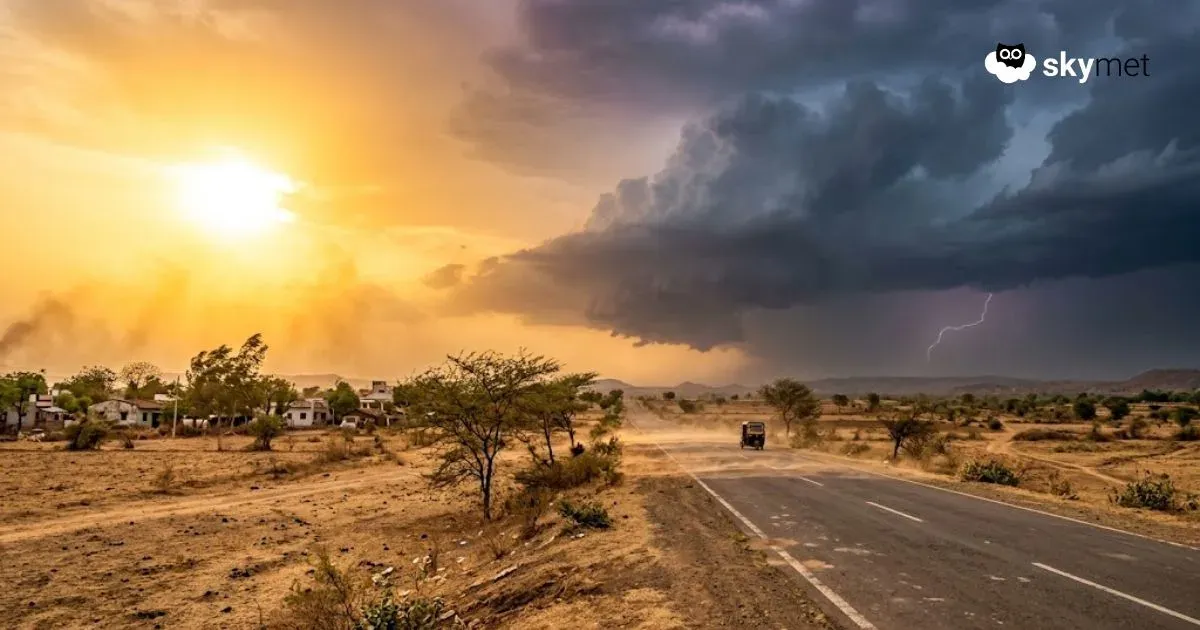
Maharashtra Hottest Region Of Country: Rain-Thundershowers Likely
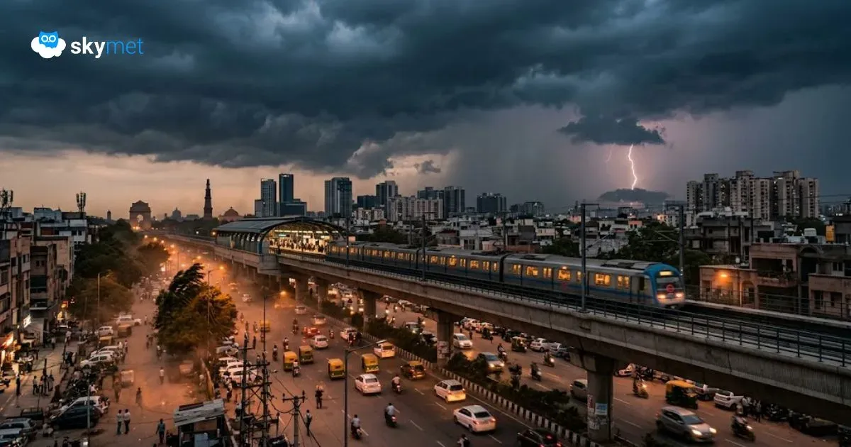
Rainy Days Ahead For Delhi: Mercury To Remain Above Normal Till Weekend
Daily Weather Update for India, March 31: Forecast and Regional Conditions