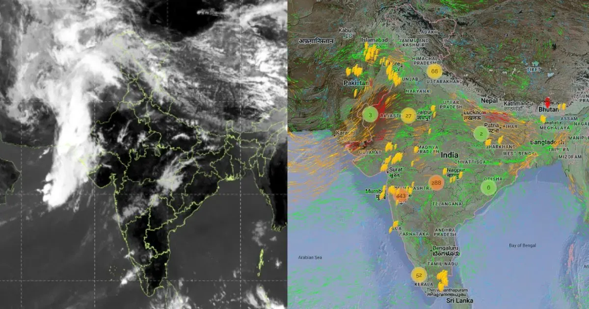
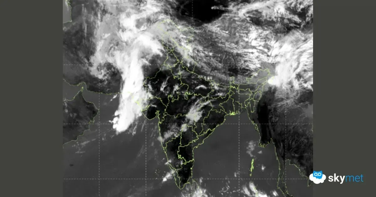
Fresh spell of snowfall is expected across the northern mountains. Rain and thundershowers are likely over the low and mid reaches of Jammu and Kashmir, Himachal Pradesh and Uttarakhand. Weather activity will last for about 3 days and recede thereafter, albeit briefly.
A Western Disturbance has arrived today over North India and will move across the mountain region over the next 3 days, between 08th and 10th Feb. Scattered rainfall and isolated light snowfall is expected on 08th and 10th Feb. In between, peak activity with intense and heavy snowfall is likely at some places in Kashmir Valley and Kullu Valley on 09th Feb. Srinagar, Pahalgam, Gulmarg, Patnitop, Manali, Rohtang and Lahaul-Spiti will have moderate to heavy snow. Higher reaches of Uttrakhand will also have snowfall and the lower hills of Mussoorie and Nainital will witness rain and thundershowers.
Weather conditions will start improving 11th Feb onward, but not for long. Close on heels, feeble western disturbance will arrive on 13th Feb and followed by another active western disturbance between 15th and 17th Feb.
In short, chain of western disturbances of varying intensity will keep affecting the northern mountains, off and on, at least till 3rd week of Feb. With the result, weather conditions will keep fluctuating in the plains of North India. Rainfall activity, at best, may reach the foothills of Punjab and Haryana and nothing beyond. However, the wind pattern will keep taking turns, between cold northwesterlies and warm easterlies. Mercury levels will accordingly observe see-saw pattern, both during day and night, during this period.