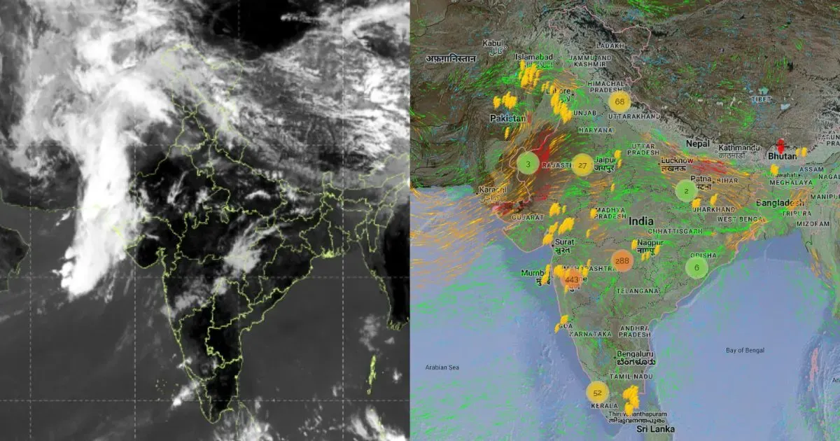
A series of Monsoon systems have formed in the Bay of Bengal this September. The current low pressure area has weakened into a Cyclonic Circulation and is lying over North Madhya Pradesh and adjoining regions.
Prior to this, another system had formed which moved right up till Gujarat and adjoining regions of Rajasthan. Since it is the time of withdrawal, each system as time passes will keep shrinking its reach.
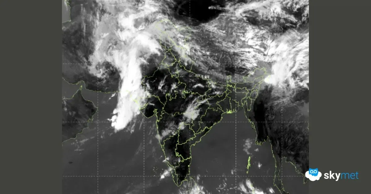
There is a queue of systems, but then, as the systems come to the Indian Coastline, they will shrink their reach. Around September 25, a trough will be coming up over North and West-central Bay of Bengal, becoming a Circulation around September 26. Around September 27, it will become more organized, coming in proximity of the coast.
Around September 28, it will be over parts of West Bengal, Odisha, and some parts of North Coastal Andhra Pradesh partly over sea and partly over land. It will almost be over the same region and not show much movement.
By the time on September 29, it will be joined by another system coming from the West Pacific. This other system will travel across Southeast Asia and merge with this particular system. A storm has already formed over the South China Sea and will weaken as it crosses the southeast asian countries of Laos, Thailand, Vietnam, Cambodia etc. Thereafter, it will emerge in the Indian waters merging with this system.