
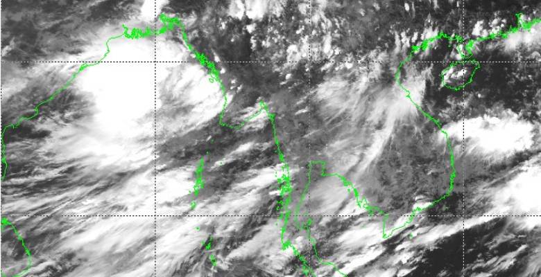
A low-pressure area, the first monsoon system, is likely to form possibly by tomorrow in the Bay of Bengal. Cyclonic circulation, the prelude to this low pressure, is marked over coastal areas of the Bangladesh - Myanmar border and adjoining Bay of Bengal. This weather system is expected to organize and deepen into a low-pressure area in the next 24-36 hours. In the subsequent 24 hours, it is likely to intensify further to a well-marked low or depression over the Head Bay of Bengal. Depression is expected to cross the Odisha - West Bengal coast on the 12th of June and move the next day over interior parts of Odisha, Chhattisgarh, and Jharkhand.
Maiden monsoon depression will take the monsoon current over Odisha, West Bengal, Jharkhand, Bihar and spill over to contiguous parts of Chhattisgarh and East Madhya Pradesh. This will be a slow-moving system and may even remain stationary over the tri-junction of Odisha, Jharkhand, and Chhattisgarh for 24 hours. Central and eastern parts of the country, outside Gujarat, will have active to vigorous monsoon conditions between 10th and 16th June. Rains will travel to reach Uttar Pradesh and West Madhya Pradesh during this period.
Even the western arm of the monsoon over the Arabian Sea will strengthen to lash the entire West Coast (Kerala, Karnataka, Goa, Konkan) with heavy to very heavy rains between 09th and 16th June. The Konkan region, including Mumbai, will remain the focus of intense activity. The severe flooding situation is quite likely over and around Mumbai between 13th and 15th June.
Many parts of the country are vulnerable to incessant heavy rains causing inundation, waterlogging, and localized flooding between 11th and 16th June. These include parts of Odisha, Chhattisgarh, Jharkhand, Bihar, Madhya Pradesh, and Maharashtra. Peripherals of North Coastal Andhra Pradesh and Telangana may also receive moderate to heavy showers.
This soaking spell will make the monsoon advance before time over the eastern and central parts of the country. Also, the monsoon easterlies will sweep all along the Indo Gangetic plains and may possibly establish the monsoon trough, the main driver of rains over northern parts, earlier than normal. Complete Northeast India, where the monsoon has already advanced will also come in for fairly widespread moderate to heavy rains. Sikkim and sub-Himalayan West Bengal are the favorites for heavy downpour under such situations.
