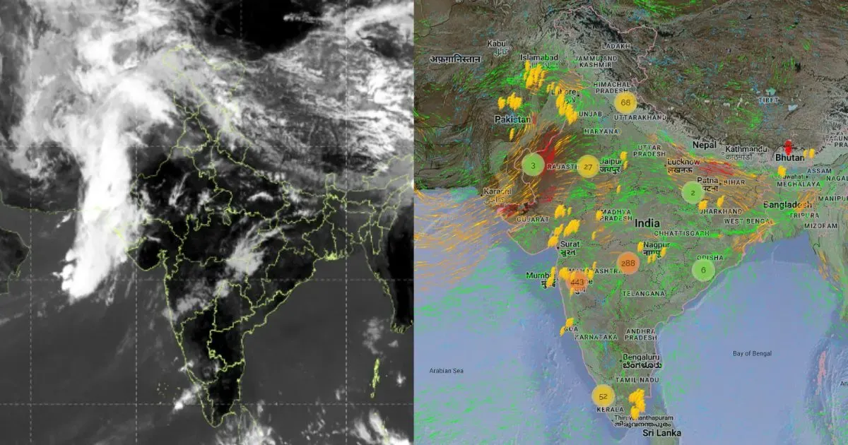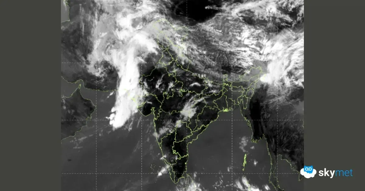
Western disturbance arriving by evening today over Jammu & Kashmir and Ladakh region. Mainly seen as a cyclonic circulation in the upper atmosphere, the weather system will have activity across the northern mountains and foothills of Punjab and Haryana. Northern parts of plains of these two states will also have scattered rain and thundershowers. Interior parts may skip this activity and possibly witness some clouding.
Western disturbance will take about 3 days to clear the region. Most of weather activity, both for the mountains and the plains, will take place in the late hours on 09thNov and roll over to 10thMorning. While mid and higher reaches above 12,000 feet may witness snow, the lower hills will be lashed with rain and thundershower activity. Rainfall is also likely over some parts of Punjab, Haryana and Chandigarh. Udhampur, Jammu, Samba, Kathua, Pathankot, Amritsar, Jalandhar, Ropar, Mohali, Panchkula, Ambala, Karnal, Chandigarh and some other neighbouring stations are likely to experience this weather activity late on 09th and early 10thNovember. Delhi will have touch and go situation and light fleeting showers may be observed during this period.
Night temperatures are likely to rise by about 2°C over the next 2 days and drop thereafter. In the wake of the system, a slight chill in the air across the mountains and the plains is likely. The mercury level may plunge to record lowest of 10°C-12°C at many places. Also, the surface and lower-level winds will pick up strength, between the 10th and 13thNov. This may help disperse pollutants to some extent. Weather conditions will not be interrupted by any more western disturbances till 22nd November.