Pre-Monsoon Peak Rainfall Likely: Viable Signal For Monsoon


Image: AI-Skymet
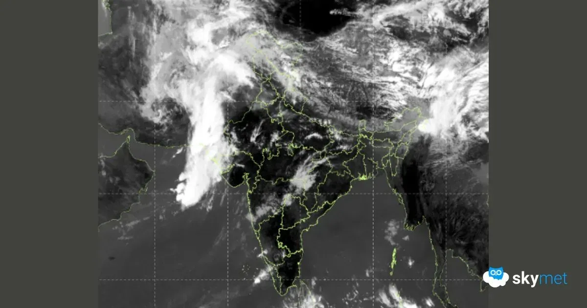
Pre-Monsoon activity is likely to increase pan-India during the first week of May. All parts of the country will observe rain and thundershowers, albeit in a staggered manner. Rainfall activity will reach the last posts of Gujarat and Rajasthan, which otherwise remain oblivious to any such incursions, during this time of the year. This spell could possibly be the pre-monsoon peak rainfall (PMPR) and it has viable linkages with the upcoming monsoon season.
Pre-Monsoon rainfall, occurring from March to May, can influence the intensity and timing of the southwest monsoon, which typically arrives in June. Early or heavy pre-monsoon rains can lead to increased soil moisture, potentially enhancing the subsequent monsoon rainfall. Conversely, a dry pre-monsoon period can result in a weaker monsoon season. Excess pre-monsoon rainfall warms up the troposphere, which presumably drives a stronger monsoon circulation. This, in turn, enhances monsoon rainfall over south and central India.
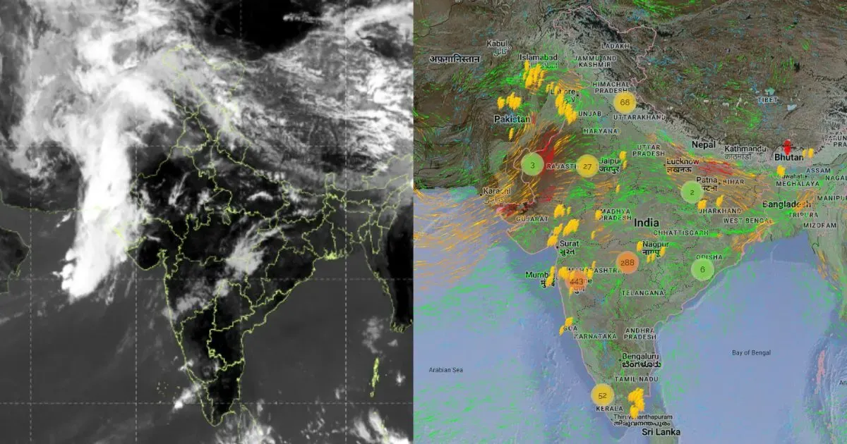
Multiple factors are pooling together to increase the spread, intensity and duration of pre-monsoon weather activity over the country. The western disturbance and its induced cyclonic circulation will trigger an east-west trough over northern plains and extend all along the Indo-Gangetic meadows. This feature will cover the activity over Punjab, Haryana, Rajasthan, Delhi and Uttar Pradesh.
A persistent cyclonic circulation over Bangladesh and the adjoining northeast region will keep the pre-monsoon activity going for the entire week between 01st and 08th May. This spell will become more intense between 06th and 08th May 2025. A low level cyclonic circulation over the trijunction of West Bengal, Bihar, and Jharkhand, along with a southward extension of a trough across Odisha and Chhattisgarh, will lead to a fair amount of rain and thundershowers, squally winds, and lightning strikes over eastern states covering West Bengal, Odisha, Bihar, and Jharkhand.
The seasonal pre-monsoon Peninsular India trough is likely to become active. This feature will have few bubbles of embedded cyclonic circulations. The weather activity will increase over the central and southern parts, covering the states of Madhya Pradesh, Maharashtra, Chhattisgarh, Telangana, Andhra Pradesh, Karnataka, Goa, Tamil Nadu and Kerala.
In the last leg of this pre-monsoon spell, the thunderstorm activity will reach most parts of Gujarat on 07th and 08th May. The state of Gujarat invariably skips the typical thunderstorm-dust storm activity of pre-monsoon. These parts remain far from the reach of weather systems in the north and also stay safe from the reach of perturbation traveling across the southern parts of the country. As an exception, the moist southwesterly winds from the Arabian Sea will interact with the circulation over Rajasthan to take the weather activity deep inside Gujarat and, more so, for Saurashtra & Kutch and central Gujarat.
The pre-monsoon peak rainfall is distantly linked with the arrival of the monsoon over mainland Kerala. The teleconnection with PMPR with the arrival of the monsoon has a lead time of 30 to 40 days. Taking a clue from this enhanced weather activity over the country, any substantial delay in the arrival of the monsoon is unlikely. It may arrive a little earlier than normal over the equatorial region and linger on for some sometime over the Andaman Sea. The timely arrival of the monsoon, spreading across the landmass, quenches the thirst of soil and soul alike. It brings felicity to parched Deccan rivers and ferocity to the Himalayan ones. It awakens dormant fields to resurrect life in India.