Rain-Showers Continue Over Delhi During This Week: No Sharp Rise Of Mercury

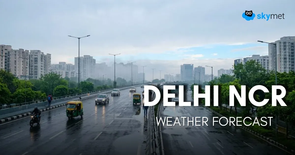
Image: AI-Skymet
Key Takeaways:
- Delhi recorded its lowest maximum temperature since May 7 at 35.8°C.
- Temperatures have remained 4°C–5°C below normal due to repeated weather activity.
- Rain, thunderstorms, dust storms and gusty winds are likely between June 4 and June 6.
- No heat wave conditions are expected over Delhi during the first ten days of June.
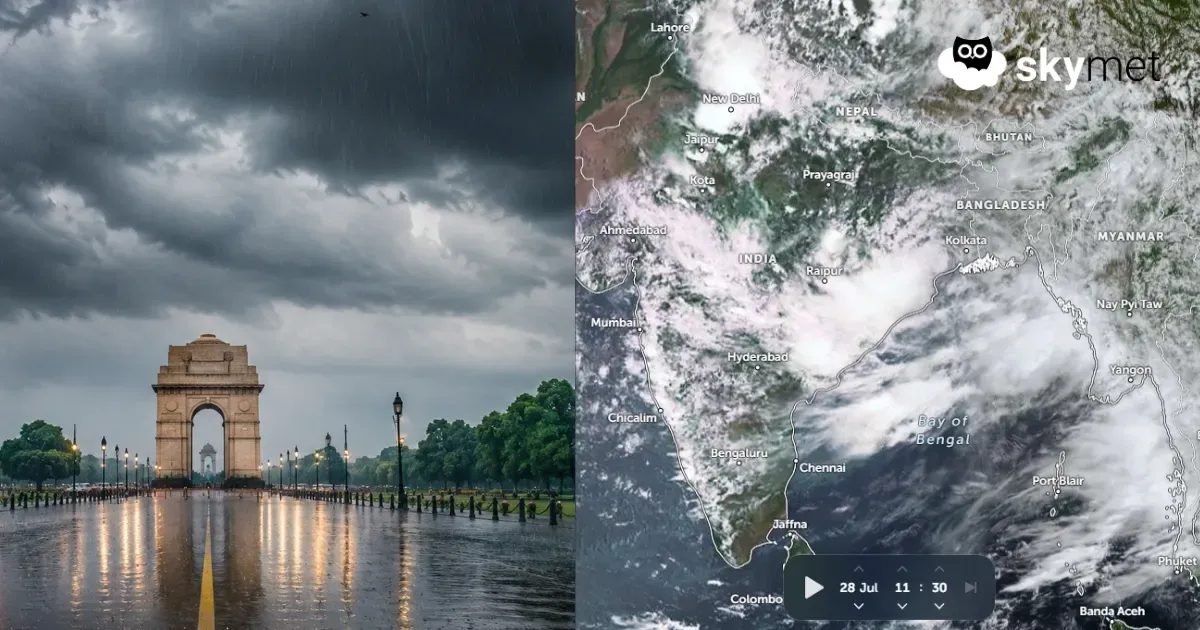
Rain, thundershower, and dust storm activity over the Delhi region has pushed the extreme heat of the last week to the margins. Day temperatures have remained restricted to 36°C–37°C, about 4°C–5°C below normal, for the last three days. The base station Safdarjung recorded a maximum temperature of 35.8°C, the lowest daytime temperature since 07 May 2026. Night temperatures have also stayed well below average by about 3°C–4°C. Day temperatures are expected to rise marginally through the week but will continue to remain below the normal range.
A cyclonic circulation is marked over Central Pakistan and the border areas of South Punjab and North Rajasthan. A trough is extending eastward from this system and joining another closed cyclonic circulation over Southwest Uttar Pradesh and adjoining Madhya Pradesh. This trough, though not very strong, will remain in proximity to the Delhi region. A fresh Western Disturbance is likely to arrive over the northern mountains late on 03 June and influence weather activity over the hills between 03 and 06 June. The Western Disturbance, coupled with the east-west trough, will also strengthen weather activity over the plains of North India, including Delhi.
Mild weather activity, mostly patchy in nature and of short duration, is likely on 02 and 03 June. The spread and intensity are expected to increase between 04 and 06 June 2026. Rain, thundershowers, and dust storm activity accompanied by gusty winds are likely during this period. Residual effects may continue on 07 June as well. Broad clearance is expected from 08 June onward. Temperatures will rise thereafter, and winds are also likely to become stronger. However, no heat wave conditions are expected during the first ten days of June.
Trending: