[Hindi] सम्पूर्ण भारत का 18 जून, 2026 का मौसम पूर्वानुमान
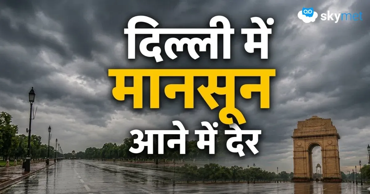
दिल्ली में मानसून की एंट्री होगी लेट, वीकेंड तक आँधी-तूफान और बारिश के आसार, जानें मौसम का पूरा हाल
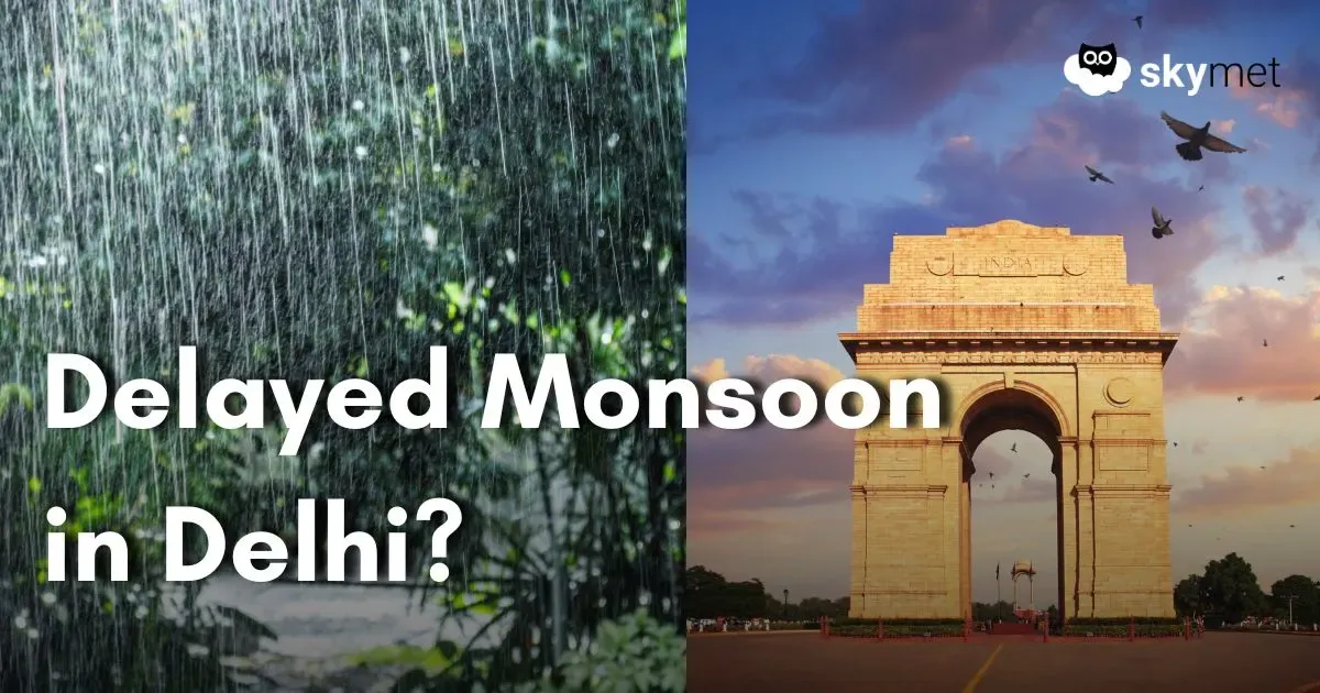
Delayed Arrival of Monsoon For Delhi Likely: Thunderstorm-Dust Storm Till Weekend
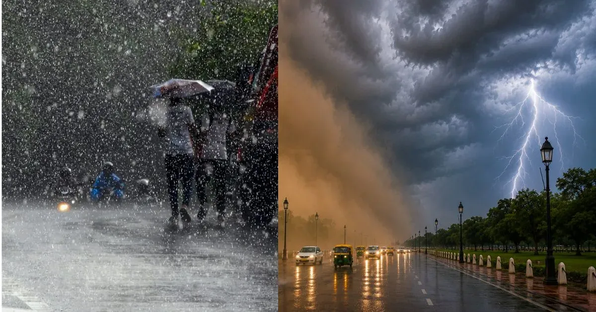
दिल्ली-एनसीआर में अगले 4 दिन आँधी और बारिश का अलर्ट, तापमान 40°C से नीचे ही रहेगा, जानें पूरा मौसम अपडेट