Monsoon Wait Gets Longer For Mumbai: City May Head For Most Delayed Onset
[Hindi] सम्पूर्ण भारत का 13 जून, 2026 का मौसम पूर्वानुमान
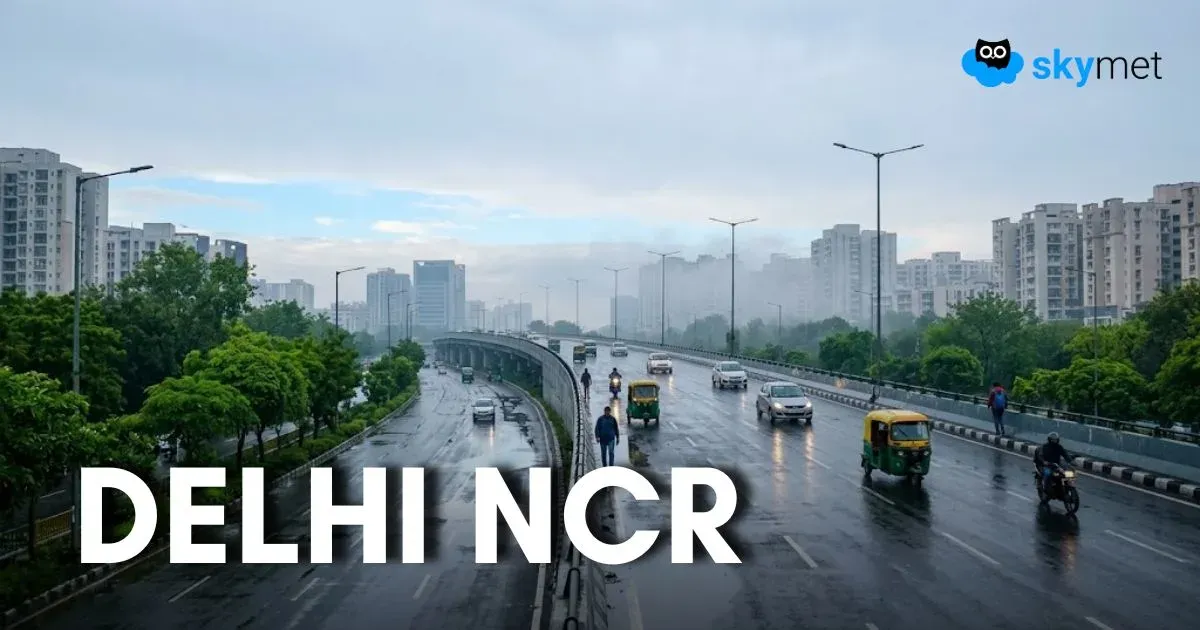
दिल्ली-एनसीआर में आँधी-बारिश का डबल अटैक, बीती रात के बाद आज फिर तेज हवाओं की संभावना
Dust Storm With High Speed Winds Strikes Delhi Last Night-Another Spell Likely Tonight