Weather Activity Picks Up in West Bengal and Northeast India, Moderate to Heavy Rain to Continue Till April 17


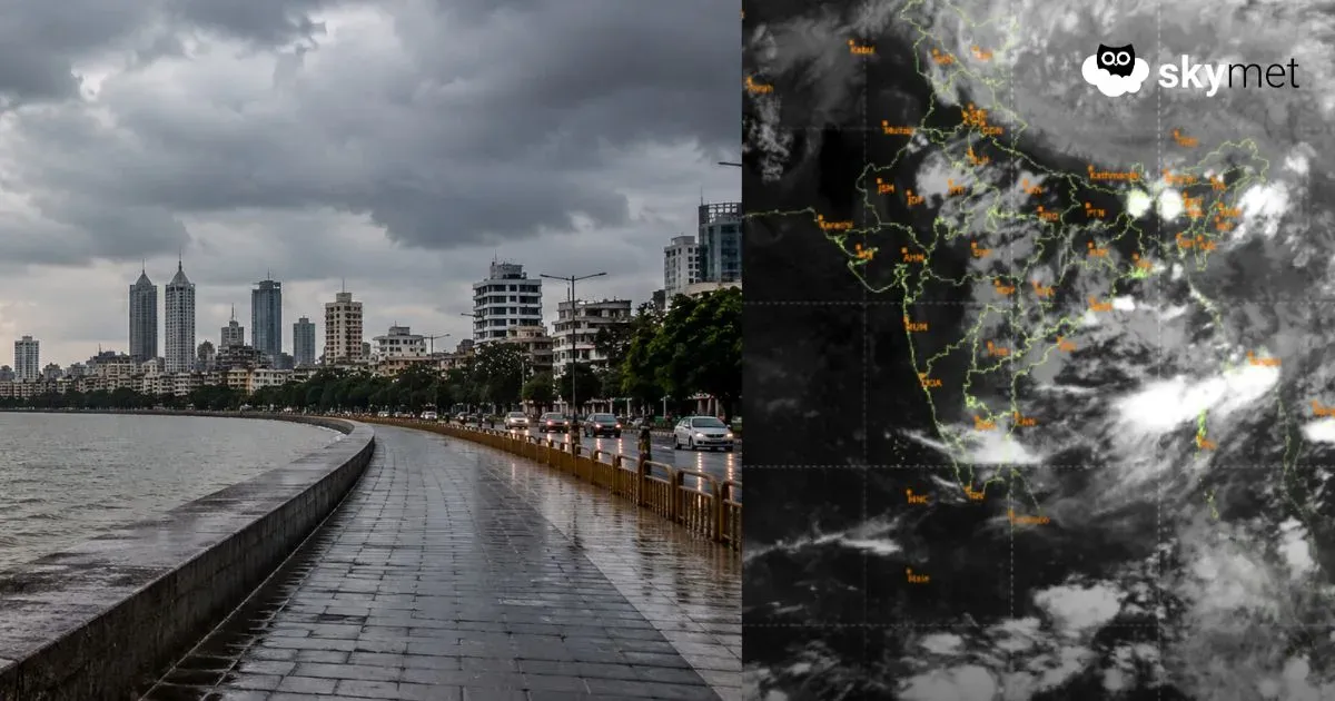
Severe Weather Alert Issued for Bengal, Image: Skymet
Kolkata is in for a prolonged wet spell, commencing today till April 17, the city will witness frequent thunderstorms and moderate to heavy rain associated with severe lightning.
The evenings may turn cloudy and overcast all of a sudden, with gusty winds sweeping through. While this may bring some relief from the day’s heat, it also increases the likelihood of power outages, waterlogging and traffic jams.
Regions on Alert for ‘Kal-Baisakhi’
This is the time of Kal-Baishakhi, the famous Nor’westers that hit Gangetic West Bengal every year. This week, the districts of Kolkata, Howrah, Hooghly, Midnapur, Diamond Harbor, Digha, Kharagpur, Bardhaman, Bankura and Jhargram are likely to be hit hard.
These storms will come with intense lightning, short but heavy showers and strong winds that can cause damage to trees, structures and even power lines.
Weather Activity in Other Parts of South Bengal
Frequent thunderstorm activity will commence in other parts of South Bengal from April 11. Places like Panagarh, Contai and Kalaikunda will face strong winds and bursts of heavy rain. Intensive weather activity can cause short-term power cuts and traffic interruption, especially in the evening hours. Although the weather may feel pleasant at times, sudden fluctuations in it may be expected.
North Bengal and the Hills on Alert
Northern parts of Bengal including the hilly areas such as Darjeeling, Jalpaiguri and Cooch Behar, will not be spared either. These areas are also likely to see heavy rainfall, lightning and strong winds, mainly during the afternoon and evening hours. Residents of tea gardens or hill slopes should be cautious, as landslides and flash floods could become a concern.
Widespread Rain for Northeast India
Assam, Meghalaya, Tripura and Mizoram will also enter an active pre-monsoon phase from April 10. Wet and stormy weather is likely across the region with moderate to heavy rain expected throughout the week. Thunderstorms and strong may cause water logging leading to disruptions in low-lying areas.
Weather Systems in Place
A well-marked low-pressure area has formed over the West-Central and adjoining Southwest Bay of Bengal. This system extends up to mid-tropospheric levels and will gradually move northward over the next 12 hours. Though it may weaken over the sea after 24 hours, its leftover circulation will stay active over the central and northern Bay for the next 2 to 3 days, boosting rainfall over the Northeast.
An east-west trough is also active across the Indo-Gangetic plains, stretching from Uttar Pradesh and Bihar into North Bengal. This trough is guiding moist winds from the Bay of Bengal into Bangladesh and Northeast India. In addition, a semi-permanent cyclonic circulation is forming over eastern Bangladesh and nearby areas of Assam and Meghalaya. This system is expected to linger for at least a week, maintaining the current spell of wet and stormy weather.
Heads-up For Citizens
Residents are urged to stay indoors and farmers are requested to avoid working in open fields specially during lightning. Authorities are urged to stay alert for damage to standing crops, vegetables and infrastructure. Urban areas may experience traffic disruptions and waterlogging. Rescue and emergency teams should remain on standby, especially in areas prone to storm damage.