°C
Current temperature
5:30 AM, Jan 01, 1970Hourly
7 Days
15 Days

Weather buddy
Over the next 15 days, temperatures will generally range from highs of 28°C to lows of 30°C with average daily temperatures hovering around 28-29°C. After a brief period of thunderstorm activity on June 24th and 25th, the weather will stabilize into mostly cloudy conditions for most days, except for an intense rainfall event starting from July 7th with approximately 100mm of rain expected over three consecutive days. There won't be any heat wave periods exceeding 40°C or severe heat waves surpassing 45°C during this forecast period. You may experience light rain on the last day, and wind speeds will generally remain moderate at around 16-23 km/h. No significant temperature rises are expected after these initial thunderstorm days.


Rainfall probability

Wind speed


Humidity
Sunrise/Sunset

Moonrise/Moonset


Weather buddy
Today's weather will present a challenging start with a THUNDERSTORM in the morning, accompanied by high humidity levels between 73% and 86%, minimal cloud cover at around 4%, no rainfall, and wind speeds reaching up to 19.5 km/h. As evening approaches, expect partly cloudy skies with temperatures remaining warm, ranging from 30°C to 33°C, low humidity between 74%-87%, no precipitation, and slightly stronger winds at approximately 26.2 km/h. Nighttime will see a slight drop in temperature, hovering around 28-29°C with increased humidity of 90-94%, moderate cloud cover at 5%, light rain accumulation of 1 mm, and wind speeds averaging about 20.1 km/h; however, the main weather concern will be ongoing THUNDERSTORMS. Please stay vigilant and take necessary precautions throughout the day.
 Temp (Min/Max)
Clear Sky Humidity
44%
 Dew Point
28°C
Highly Humid
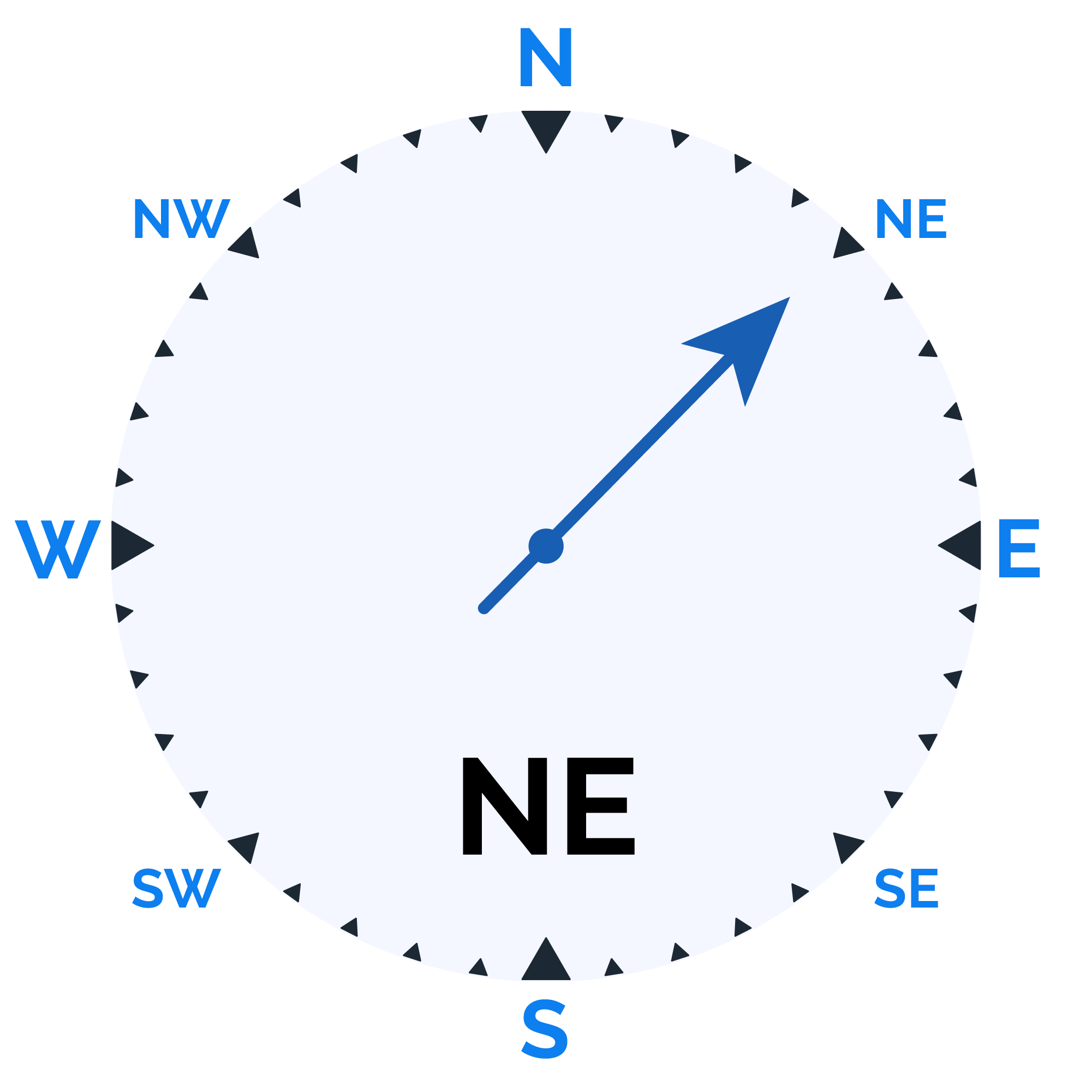
 Wind speed
27 km/h
Wind Speed