°C
Current temperature
5:30 AM, Jan 01, 1970Hourly
7 Days
15 Days

Weather buddy
Over the next 15 days, expect a series of thunderstorms with temperatures initially ranging from 28°C to 39°C. After Day 4 onwards, you can anticipate an increase in daily highs reaching up to 42°C by mid-June. Although we have designated heat wave periods starting and ending between June 22nd and 24th, this forecast doesn't indicate a severe heat wave with temperatures exceeding 45°C on any day. Humidity levels will also be quite high throughout the period, accompanied by varying cloud cover and rainfall, especially towards the end of our observation window where we see heavier rain from June 25th to 28th. Stay prepared for potential thunderstorms and heat as you go through this week!


Rainfall probability

Wind speed


Humidity
Sunrise/Sunset

Moonrise/Moonset


Weather buddy
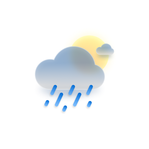
Today's weather presents a challenging start with morning conditions dominated by thunderstorms, characterized by high temperatures ranging from 30.0°C to 37.0°C and humidity levels between 63% and 91%. Cloud cover is minimal at just 6%, indicating a clear sky despite the stormy conditions. As we move towards evening, expect a significant shift with sunny skies prevailing; temperatures will hover in the mid to high thirties, while humidity decreases slightly, and wind speeds pick up noticeably. The night will bring another weather event as temperatures drop and humidity rises, yet again under clear conditions before a storm rolls back in later on. Despite no rainfall expected today, the varying patterns of thunderstorms suggest caution throughout the day.
 Temp (Min/Max)
PARTLY CLOUDY Humidity
51%
 Dew Point
30°C
Highly Humid
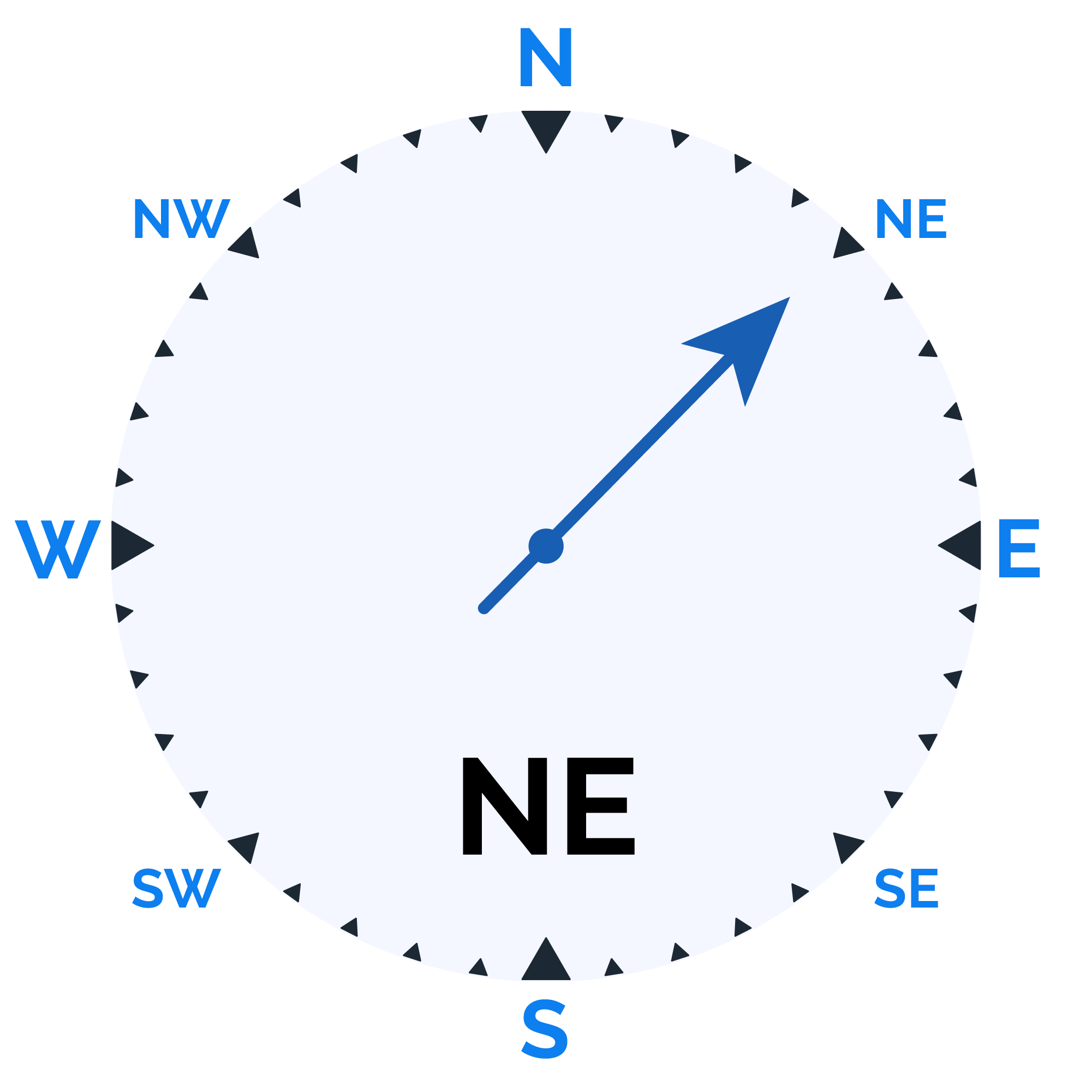
 Wind speed
25 km/h
Wind Speed