Remnant Of Typhoon Whifa Draw Closer: Low Pressure Area To Form Over Bay Of Bengal


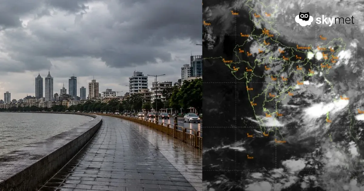
Strong typhoon ‘WHIFA’ in the Western Pacific struck Hong Kong and battered the East Coast of China last Sunday. As alerted earlier, the severe storm pounded North Vietnam, weakened, and headed westward. The storm has crossed Laos and reduced to a well-marked low-pressure area, positioned over the borderlines of Thailand and Myanmar. Tracking further westward, the remnant of Whifa is expected to enter the northern parts of the Bay of Bengal tomorrow. A low-pressure area is likely to form over the Bay and become stronger before crossing the coastline.
The low-pressure area is likely to become a depression and get located more over the sea than the coastal parts of North Odisha and Gangetic West Bengal on 25th July. The zone of convergence and clusters of convective build-ups are placed far ahead of the center of the system. The weather activity will start over inland stations on 24th July itself, while the depression is centered over the sea. The intensity and spread will increase further on the following day, 25th July. On 26th July, the system will start interacting with the seasonal monsoon trough and enlarge its area of influence and severity of weather.
Intense weather activity will impact the states of Odisha, West Bengal, Jharkhand, Bihar, Chhattisgarh, Madhya Pradesh, Uttar Pradesh, Delhi, and the northern plains, albeit in a staggered manner. Since the model predictability drops after about four days, it may not be right to speculate on the scale of adversity attached to the monsoon system at this time. The system will be kept under close observation for the timelines and gravity of weather conditions.

There are early but unconfirmed indications that the eastern end of the monsoon trough will start shifting north of its normal position as the low pressure travels across the central parts of the country. Continuation of such a trend may be a precursor for the northward shift of the entire stretch of the monsoon trough. The trough getting positioned along the foothills may lead to the first ‘break-in-monsoon’ of this season. The forecast will be reviewed once the weather system starts traversing over the mainland.