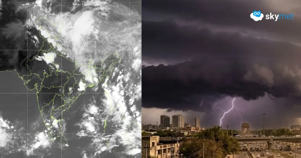
Dust Storm-Thunderstorm Likely Over Delhi Next Three Days: More Chances On Friday

Delhi's temperature has been rising gradually over the last two days. After the deluge on the weekend, the temperature had dipped about 9°C below normal last Sunday. The mercury has risen by nearly 6°C over the last two days. The base station at Safdarjung recorded a maximum temperature of 37.4°C yesterday, still below normal by about 3°C. The temperature may rise by another degree today but stay below normal. The temperature is unlikely to cross 40°C in the remaining days of the month.
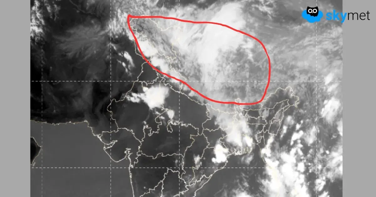
A cyclonic circulation is marked over Punjab and adjoining border areas. Another circulation is lying over Delhi and neighboring parts of Haryana and Uttar Pradesh.
The east-west trough joining these two circulations is running very close to Delhi and also extending to join yet another circulation over Northeast Madhya Pradesh. The winds are generally light on either side of the trough in the lower levels. The north-south oscillation of the trough, along with the rise in temperatures, will trigger thunderstorm-dust storm activity over Delhi/NCR during the next 3 days.
During this month, Delhi has been struck thrice with severe thunderstorms/dust storms. The strongest one being the last one, during the intervening night of Saturday-Sunday, flattening trees and creating deep pools of water, disrupting road, rail, and air operations. Delhi has already amassed 185.4 mm of rainfall, way above its normal of 29.4mm for the month. No major downpour is expected during the rest of the days in this month. But a change of winds, a rise in humidity, and an increase in temperature together will raise the heat index right till the approaching weekend. A dust storm accompanied by strong winds, downing visibility and felling some trees, is quite likely.
Monsoon will take quite some time to reach the capital city. However, pre-monsoon showers will become a regular and frequent feature till then. More pre-monsoon activity is expected next week. This pattern will keep the day temperatures under check, and the heat wave is likely to remain in abeyance, at least for the next 10 days or so.