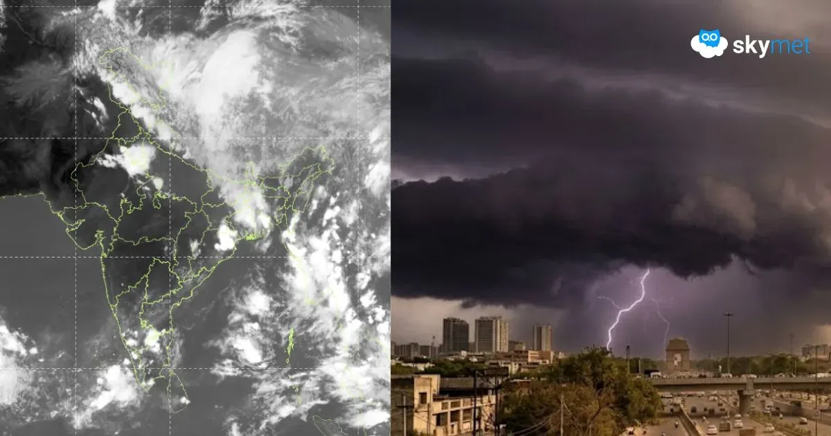
Low Pressure Area Forms Over Bay Of Bengal, Depression Likely Soon


Satellite Image, Courtesy: CIMSS
A fresh low-pressure area has formed over the Northwest Bay of Bengal (BoB), off the Odisha Coast, with cyclonic circulation up to mid-tropospheric levels. The system is likely to move northward and concentrate into a depression within the next 24 hours. The weather system may not move deep inland across our coastline and rather track more towards Bangladesh and adjoining parts.
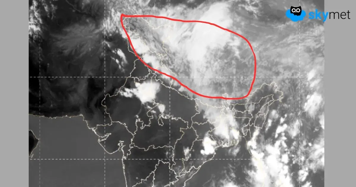
The well-marked low-pressure area is now centered around 19.2°N and 88°E, about 180 km south of Kolkata. The broad, low-level cyclonic circulation is overlaid with convective curved cloud bands, a sign of its strength and intensity. The environmental analysis reveals that the system is placed in a field of low to moderate vertical wind shear and very warm sea surface temperature. There is a good outflow aloft suggesting fast movement. However, the system is not expected to develop into a warm-core cyclone due to limited sea travel and proximity of terrain on either side.

The southwest monsoon has already advanced over most parts of Northeast India. This system will help to cover the remaining parts and also take it forward to Sikkim and sub-Himalayan West Bengal. As the system is likely to track more of the north and northeast, further advance of the monsoon will get restricted. A fresh surge will be needed to take it beyond Gangetic West Bengal to parts of Bihar and Jharkhand.
Due to the proximity of the depression to the coastline, the peripherals of the system will give scattered heavy rainfall over Coastal Odisha, North Coastal Andhra Pradesh, and southern parts of Gangetic West Bengal. The core weather activity will take place over the northeastern states and Bangladesh. Very intense rain and thundershowers will lash Meghalaya, Assam, and Arunachal Pradesh over the next three days, between 28th and 30th May 2025. Scattered heavy to very heavy rainfall is expected over Nagaland, Manipur, and Mizoram, bordering the Myanmar region. Fairly widespread moderate rain and thundershowers will continue over the northeastern states for the subsequent three days between 31st May and 02nd June.