Second Consecutive Week Of Poor Northeast Monsoon: Rain Deficit Grows Over South Peninsula

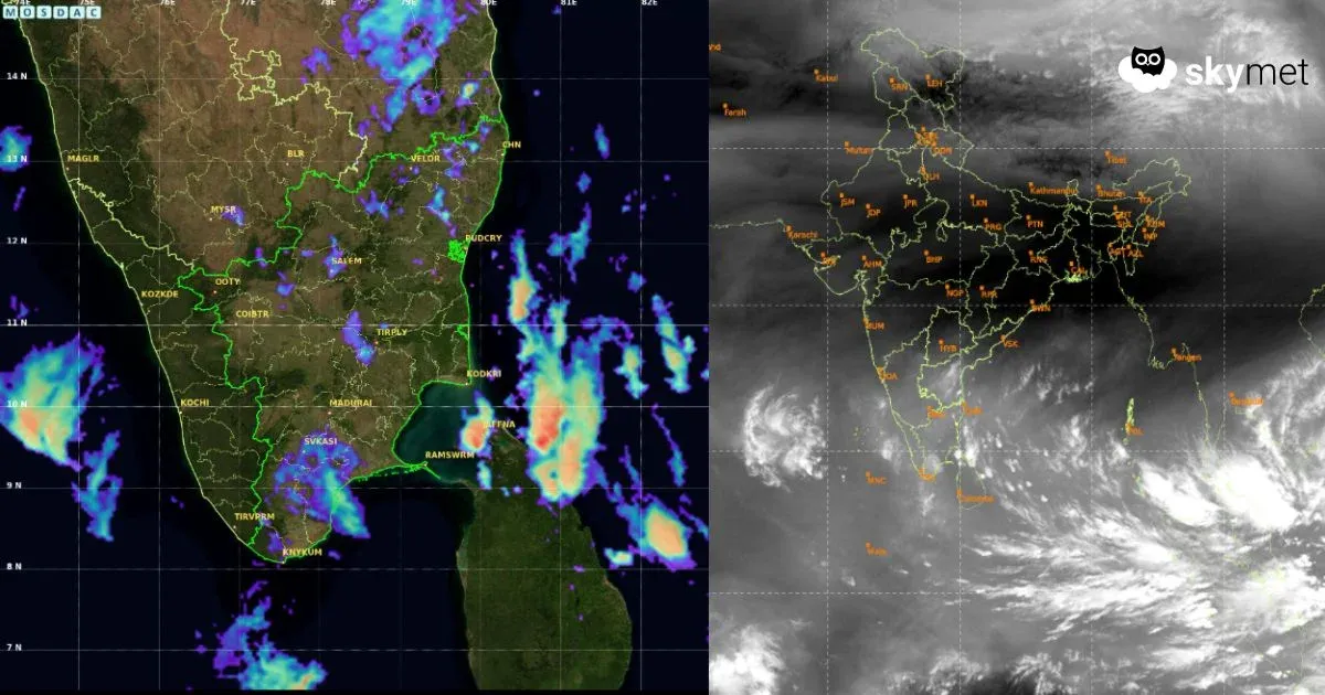
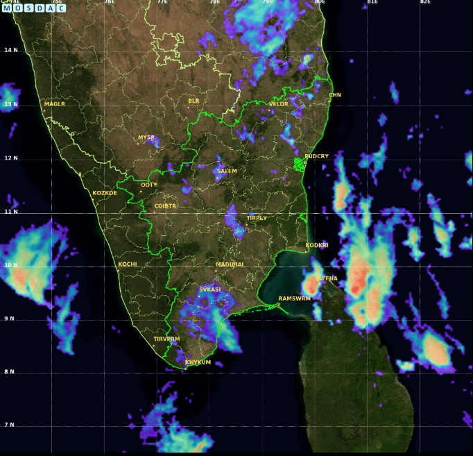
Satellite image courtesy: MOSDAC.gov.in, as of 12:00 PM IST
KEY TAKEAWAYS
- Northeast Monsoon activity plunged sharply in November after strong performance in October, resulting in large weekly rainfall deficits.
- Kerala was the only state to record above-normal rainfall, while Telangana, Karnataka, and Coastal Andhra Pradesh remained almost completely dry.
- A fresh low-pressure area forming over the Southeast Bay of Bengal may intensify into a cyclonic storm next week.
- The storm’s eventual track will determine whether Peninsular India receives heavy rain or experiences an extended dry spell.
After having an impressive performance in October, the opening month of the Northeast Monsoon, the weather activity slumped to a bottom low in November 2025. Earlier, the weekly rainfall between 06th and 12th Nov 2025 witnessed a large deficit of 71%. The overall surplus of 43% rainfall in October was largely consumed and dropped to just 14% by the week ending 12th Nov 2025. Another disappointing dry spell over South India between 13th and 19th Nov dragged the seasonal surplus to a mere 7% rainfall. During this week, the South Peninsula suffered a shortfall of a huge 52% rainfall. Telangana, Karnataka, and Coastal Andhra Pradesh practically remained completely dry. Only Kerala saved the grace with above-normal rainfall during this week.
The rainfall activity has remained sub-par during the last 48 hours, except in isolated pockets of South Coastal Andhra Pradesh. Courtesy of a cyclonic circulation over the Comorin region with an extension of a north–south trough along the Tamil Nadu coast, scattered rain and thundershowers are likely over Tamil Nadu and interiors of Kerala over the next three days. In the meantime, a low-pressure area is likely to form over the Southeast Bay of Bengal shortly. The Bay of Bengal will be an active basin for the next one week.
The weather activity over the South Peninsula will be controlled by this fresh system forming over the Bay of Bengal. In all probabilities, the system will intensify into a cyclonic storm by early next week. The storm will stand an equal chance of landfalling along the East Coast or skirting the shoreline throughout. Clarity will come a little later by the start of next week. In case the storm heads for Tamil Nadu and Coastal Andhra Pradesh, which is less probable, there will be bountiful rains over the southern parts of Peninsular India. However, if the cyclone takes a recurving track and heads for West Bengal/Bangladesh, Peninsular India is going to dry up for the duration of the storm. Precise and reliable forecasts will come out after the preliminary development takes the shape of a depression over the south-central Bay of Bengal, likely by 24th/25th Nov 2025.