Rainiest August Starts On Mild Note For Delhi: Moderate Showers Likely

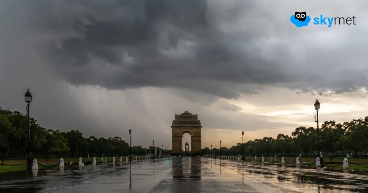
Representational Image: AI-Skymet
Key Takeaways:
- August, the wettest month for Delhi, is expected to become more active after a subdued start.
- Moderate rainfall is likely over the next two days, with the heaviest activity expected tomorrow.
- A brief reduction in rainfall is expected on August 5 and 6 before another active spell develops.
- Rainfall intensity is expected to peak around August 8 as a cyclonic circulation strengthens over northwest India.
- Forecast Validity: Next 3 to 5 days.
Advertisement
August is the rainiest month of the year for the national capital. The normal rainfall for the month stands at 226.8 mm as against 195.8 mm in July. However, during the first three days of the month, the city received light and patchy rainfall over the last two days and otherwise remained mostly dry. There is an uptick likely over the next two days, followed by a slowdown thereafter. The intensity and spread of rainfall will increase yet again close to the weekend. No sharp rise in mercury is likely, but conditions will continue to be dominated by warm and humid weather.
Advertisement
The rainfall over Delhi during the core monsoon months is largely controlled by the location and strength of the seasonal east-west oriented monsoon trough along the Indo-Gangetic plains. The proximity of the trough line by about 50 km on either side, north or south, remains favourable for weather activity. A farther position, particularly south of the city, deflates the monsoonal charm and leads to oppressive, sultry conditions. Presently, the trough is positioned south of the city but not very far away, passing through Ganganagar, Hisar, Bareilly, and thence eastward. Most importantly, the trough is in the process of shifting northward, and its vicinity will lead to a burst of monsoon showers.
A western disturbance will approach the northern mountains shortly. This will act as a catalyst, allowing the trough to pass through the city tomorrow. Moderate showers are likely over the next two days, more so tomorrow. The weather activity will become softer on 05th and 06th August, only to pick up once again between 07th and 09th August 2026. Under the influence of the passing western disturbance, a cyclonic circulation will develop over Delhi, Haryana, and adjoining parts of Rajasthan and Uttar Pradesh. The intensity and spread of weather activity will increase further on 08th August. The following week, starting 10th August, will commence on a lighter note of weather activity.