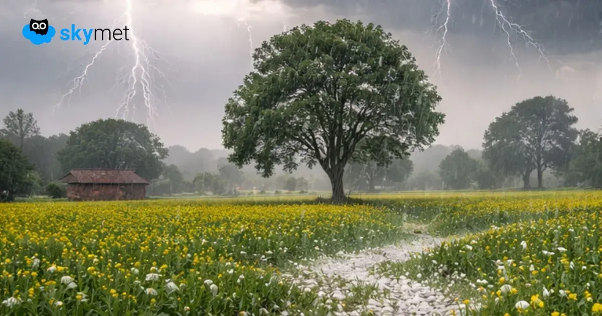
Southwest Monsoon Unlikely To Advance for One Week


After an early and robust onset, the monsoon current has gone into slumber. Earlier, as it normally happens, the weak current increased the rainfall activity over Northeast India, leading to floods in the Assam Valley.
On expected lines, the rainfall has reduced over the northeastern region now, improving the flood situation in some pockets. The problem in the northeast region is that even when the rainfall ceases, the water bodies keep responding with rampant flow of water for the next few days.
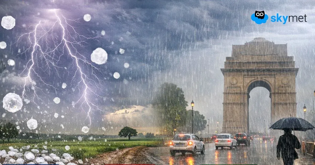
The northern limit of monsoon (NLM) is stuck at Mumbai, along the West Coast, since 26th May 2025. The eastern arm of the monsoon is also struggling to move ahead from Sikkim and Sub-Himalayan West Bengal. Kolkata remains in queue to witness the first monsoon showers of the season. No advancement is likely till 12th June on either side of the coastline.
There is a likelihood of a cyclonic circulation forming over the West-Central Bay of Bengal (BoB) on 11th June 2025. It may become more marked on 12th June and move inland over the South Peninsula. The peripherals of the system will usher light to moderate rains on 11th June over Andhra Pradesh, Telangana, Tamil Nadu, and Karnataka. Subsequently, the intensity and spread of rainfall will increase over the next 2–3 days over the interiors of Karnataka and Maharashtra. Heavy to very heavy rainfall will occur along the Western Ghats, covering Kerala, Coastal Karnataka, Goa, and the Konkan region.
The weather system will not be a typical one, normally seen during the onset phase of the monsoon. It is likely to take the rains to those parts where the monsoon has already advanced. Ideally, the monsoon current should ingress over Gangetic West Bengal and further on to Jharkhand, Odisha, Bihar, and Chhattisgarh. The passage of this weather system may change the wind pattern to monsoon easterlies over these parts, but the most essential seasonal rains may lack the force and the coverage. Possibly, another cyclonic circulation may come up at the top end of BoB around 14th–15th June. This may take the monsoon to eastern parts covering West Bengal, Jharkhand, and Bihar. Since model accuracy suffers after a lead time of 5 days, it is too early to commit anything on the monsoon front and its advancement over the eastern states.