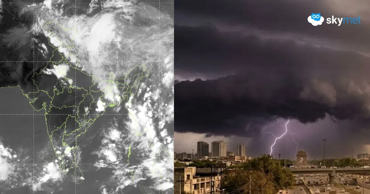
Thunderstorm-Dust Storm Over Delhi Today-Tomorrow


Despite the temperature rise and increase in humidity, Delhi escaped the thunderstorm activity yesterday. Dry weather conditions have prevailed for three consecutive days. Base station Safdarjung recorded a day maximum of 38.6°C, still below normal by about 2°C.
There could be only a marginal rise in temperature today, and it is expected to stay below 40°C. Light easterly winds, amplifying sultry conditions, and temperatures nearing 40°C are considered favourable to trigger thunderstorm-dust storm activity today.
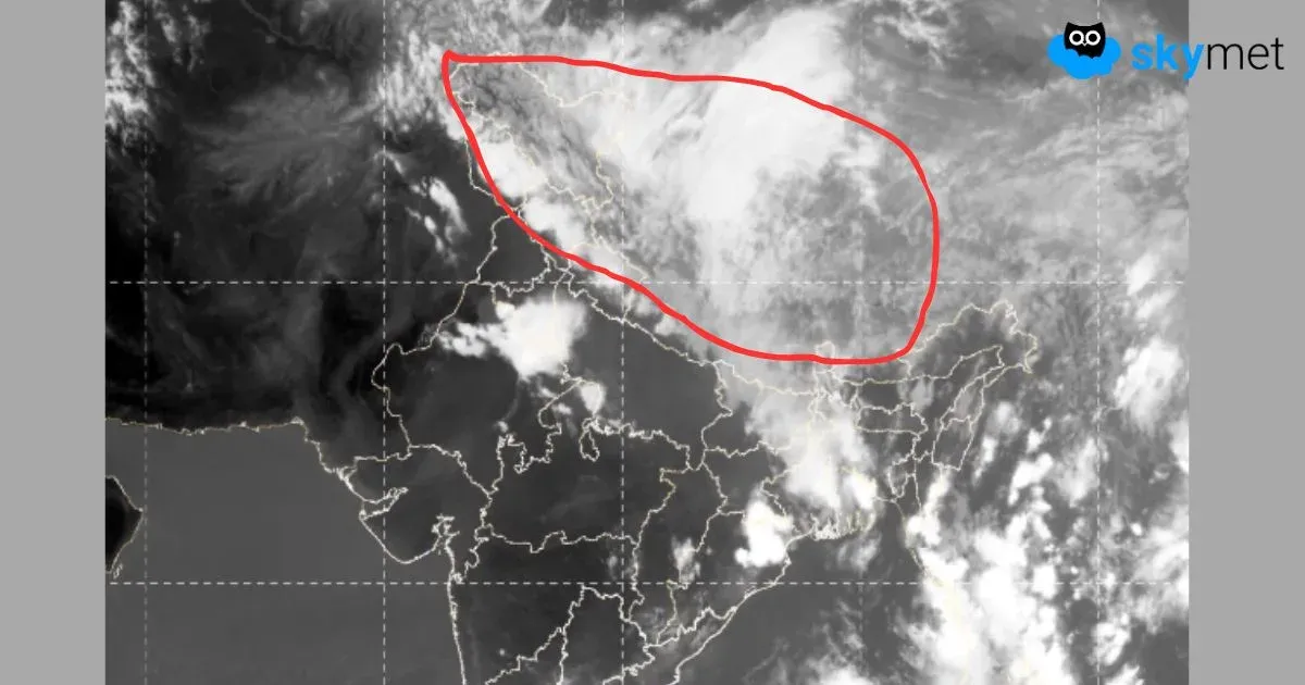
The cyclonic circulation persists over South Punjab and border areas. Another feeble circulation is seen over southwest Uttar Pradesh and the neighbouring Delhi region. An east-west trough joining the two circulations is positioned right over Delhi and extends further to Madhya Pradesh. Similar conditions will prevail tomorrow as well. The trough has a tendency to move northward thereafter. Under these conditions, a thunderstorm-dust storm is quite likely today and tomorrow over Delhi/NCR. The probability of stormy conditions accompanied by strong winds, followed by sharp showers, is higher tomorrow than today.
The capital city has observed three rounds of pre-monsoon storms in this month so far. This could be the last in the series before it takes a short break, possibly for two days on 31st May and 01st June. The pre-monsoon activity will catch up again early next week, right at the start on 02nd June. This perhaps could be a little longer spell of about 3-4 days. The month of June is unlikely to observe a heat wave in the first week, and the temperature may remain checked under 40°C.