Twin Low Pressure Areas Near Indian Seas: Active Northeast Monsoon Over South India

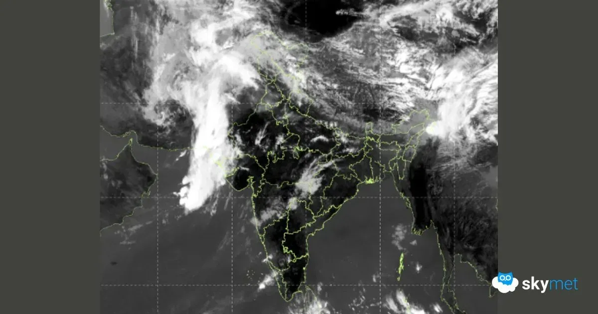
Twin weather systems developing over the Bay of Bengal. Satellite Image: Skymet
KEY TAKEAWAYS
- Two low-pressure systems near the Indian Seas have temporarily revived northeast monsoon activity.
- Tamil Nadu recorded significant rainfall, with several stations reporting heavy 24-hour totals.
- The Comorin low is likely to merge with the Southeast Arabian Sea system, forming a stronger circulation.
- Heavy rain is expected in parts of Tamil Nadu and Kerala before monsoon activity becomes subdued again.
There is a pair of low-pressure areas positioned over the equatorial region, in the proximity of the Indian Seas on either side of the coastline. A low-pressure area is lying over the Comorin region and adjoining Southwest Bay of Bengal (BoB), supported by a cyclonic circulation up to mid-tropospheric levels. Another cyclonic circulation over the Southeast Arabian Sea and adjoining region is placed favourably to turn into a low-pressure area very soon. The northeast monsoon activity will occur for the next 48 hours and fall silent thereafter.
The northeast monsoon has had a long pause over the South Peninsula. The rain deficit has grown large across all five sub-divisions in November. Under the combined influence of these two systems, the northeast monsoon activity has revived and is likely to remain strong for another 36 hours. South coastal parts and interiors of Tamil Nadu received heavy rainfall yesterday. Parangipettai, Karaikal, Tondi, Puducherry, Thanjavur, and Madurai recorded 141 mm, 65 mm, 93 mm, 29 mm, 70 mm, and 78 mm respectively in the past 24 hours. Erode and Kodaikanal also received 38 mm and 39 mm. Light to moderate rainfall was observed elsewhere in Tamil Nadu, Coastal Andhra Pradesh, Coastal Karnataka, and Kerala.
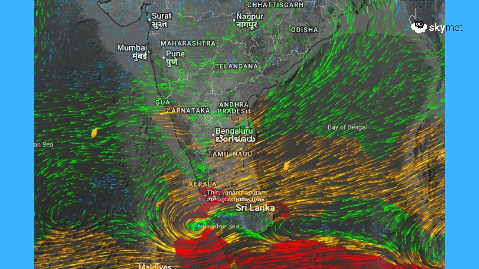
Both weather systems are likely to move westward, keeping a safe distance from the Indian coastline. The low pressure over Comorin is expected to merge with the system over the Southeast Arabian Sea. The merger may lead to a stronger system over the Southeast Arabian Sea, which could shift toward the south-central parts between 26th and 29th November. The system appears likely to meander over that region between 25th and 29th November and may move slightly closer to the Kerala coast later. Since model predictability is low beyond four days, the system will be monitored closely for further development.
Isolated heavy rainfall is likely over parts of Tamil Nadu and Kerala. Locations at risk include Karaikal, Ramanathapuram, Nagapattinam, Thoothukudi, Tondi, Pamban, Tuticorin, Nagercoil, Kanyakumari, Kodaikanal, Thiruvananthapuram, Kollam, Kochi, Alappuzha, and Punalur.