The cold wave has abated from Delhi and the minimum temperatures all across Delhi NCR have slipped in to double-digit. Base observatory Safdarjung and Palam recorded a minimum of 10.4°C and 13°C respectively. Meteorological office at Lodhi Road measured a minimum of 10.3°C. The temperatures in Delhi are 2-4°C above the normal and are likely to continue for the next 3 days. Even the day temperature yesterday crossed 28°C marks (28.1) in Delhi after a gap of 54 days and the last observation was 28.3°C on 10th Dec 2020. This mercury level is about 7°C above the average temperature. The lowest day temperature in Dec 2020 was 15.2°C on 17th and in January 2021 dropped to 15°C on 24th.
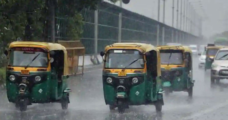
Now Delhiites can expect some showers nearly after waiting for one month. Rain and thundershower in Delhi are likely to commence tomorrow in the latter half of the day and intermittent spells will be observed in the night. Light rain may spill over to 5th morning and clearance thereafter. Cloudy sky is expected tomorrow morning over Delhi, become dense and thick in the afternoon and shed during evening and night. Rainfall amount will be limited to less than 5mm against the monthly normal of 22.1mm.
This weather activity over Delhi is under the combined influence of a western disturbance and its induced cyclonic circulation. Light rain has already been experienced over a few parts of Punjab and Haryana. Snowfall has occurred in the mid and higher reaches of Jammu& Kashmir including Srinagar. Delhi happens to be on the peripherals of the main system and is likely to be impacted shortly. The night temperature in Delhi may rise further and day mercury will drop by a few notches.