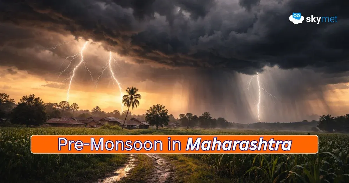
Pre-Monsoon Thunderstorm Activity Over Maharashtra: Relief From Heat Wave
Snowfall Over Northern Mountains: Weather Activity To Continue During The Week
[Hindi] सम्पूर्ण भारत का 17 मार्च, 2026 का मौसम पूर्वानुमान
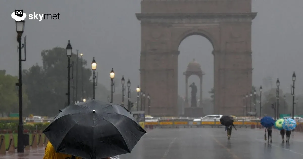
Delhi Weather: दिल्ली में प्री-मानसून की पहली बारिश, तापमान गिरा, अभी और बरसेंगे बादल