At present, a trough is extending fromeastern parts of Biharup to South Interior Karnataka across Andhra Pradesh and adjoining areas of Telangana. Due to this system, during the last 24 hours, weather activities were going on over parts ofAndhra Pradesh and Telangana.
Now, during the next 48 hours, we expect the intensity of these pre-Monsoon rain and thundershowers to increase particularly over Coastal Andhra Pradesh andRayalaseemaregion. All these areas will witness light to moderate rains with one or two heavy spells accompanied with strong winds and lightning strikes.
Telanganawill also observe isolated rain and thundershower activities but still the intensity will be less than that of Andhra Pradesh. However, one or two places in Telangana may observeheat wavelike condition, as rains over the region will be patchy.
In the wake of rains, temperatures are likely to subside and gradually settle below normal by a few degrees over these states particularly in parts of CoastalAndhra Pradeshand Rayalaseema. Moreover, heat wave conditions will abate from these parts completely.
After a widespread spell of rain and thundershowers, June 5 onwards, rain intensity will start decreasing over these southern states of India. And slowly temperatures will also start rising leading to heat wave like conditions in few places.
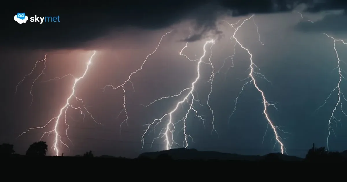
Image Credit: Wikipedia
Please Note: Any information picked from here must be attributed to skymetweather.com