It seems that prolonged wait for arrival ofMonsoon 2019is likely to end soon. According to Skymet Weather, weather conditions are preparing for arrival of Monsoon surge, which would make onset shortly over South Peninsula.
All thanks to the development of a cyclonic circulation in Southeast Arabian Sea and adjoining areas. The system is likely to get more organized during the next 24 hours and would induce a low pressure area by June 6.
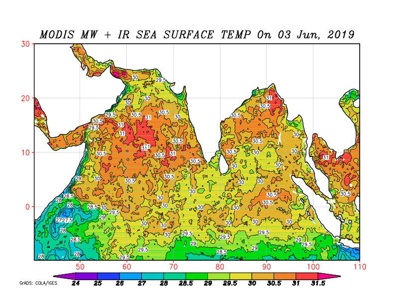
As per weathermen, the system is traveling in favourable weather conditions of fairly warm sea surface temperatures to the tune of 30°C and low vertical wind shear. Not only this, the system is moving in open waters, which is exposing to sufficient moisture.
In fact, the system has full potential to intensify further into a cyclonic storm as well.
TheNorthern Limit of Monsoon(NLM) has covered most parts of South Arabian Sea, more parts of Maldives-Comorin region, Southwest, Southeast and east coast of Bay of Bengal along with North Andaman Sea. With cross equatorial flow further strengthening, conditions are favourable for further advancement of Monsoon over more parts of Sri Lanka, Comorin, Central and Southwest Bay in the next 24 to 48 hours.
Responsible for onset of Monsoon 2019
As per weathermen, the system would be responsible for aligning all the three required criteria for ushering ofMonsoonsurge over Kerala. Skymet Weather has already predictedonset of Monsoon 2019by June 7 (with an error margin of +/-2 days).
As the system gets more marked, which is lying in close proximity of West Coast, would lead to intense clouding. This wouldreduce the OLR valuesbelow the threshold value of 200 wm^2 in the area between Latitude 5-10°N and Longitude 70-75°E.
Another criterion of wind field is already aligning but the likely low pressure area would further strengthen the westerlies both in terms of field as speed. The required wind speed for the onset should be to the tune of 30 kmph-40 kmph in the area defined by Latitude 5-10°N and Longitude 70-80°E. Meanwhile depth of westerlies should be up to 600 hpa in the area bounded by Latitude 10°N and Longitude 55-80°E.
Besides this, it would also mark the beginning of rainfall over the enlisted 14 stations in Kerala, Lakshadweep Islands and Coastal Karnataka. As per the criteria, these 14 stations have to record rainfall for two consecutive days to the tune of 2.5 mm each.
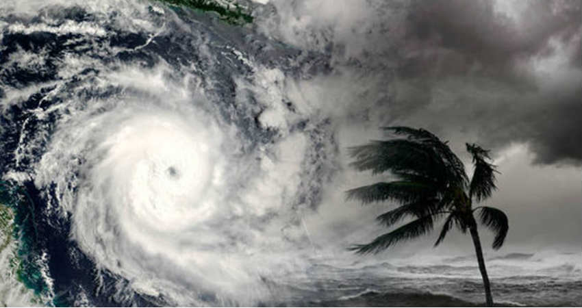
Image Credit:en.wikipedia.org
Any information taken from here should be credited to skymetweather.com