Southwest Monsoon has been sluggish this time, right from having a delayed onset, slow progress andweak performance. Cyclone Vayu only made things worse by stalling the progress of Monsoon which has not even reached Bengaluru, let alone Mumbai.
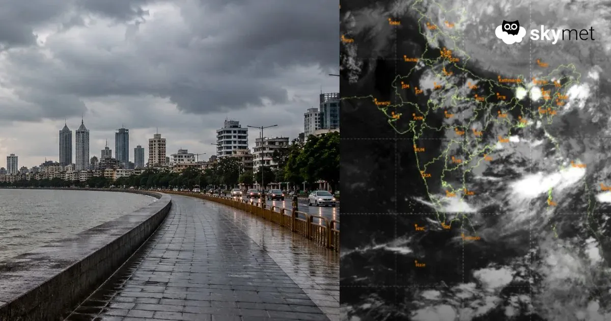
However, the good news is that, theBay of Bengal, which is known for having systems which help in the advancement of Monsoon, has a Cyclonic Circulation which has come up.
In fact, the system today has become more organized and is currently in the head Bay. Tomorrow, the system will remain over the sea, getting more organized.
On June 21, the system will gain strength, moving partly over land and remaining partly over sea. Around June 21 late night, the system will become a low pressure area. Thus, rains will begin over the East Coast with states of Andhra Pradesh and Odisha receiving the most amount of rains.
Bihar, Jharkhand and West Bengal are expected to see some rainfall, with good rains over Telangana and Karnataka. Moreover, rains over West Coast will also become active with Konkan and Goa,Keralaand adjoining areas seeing some good showers.
This Low Pressure in the Bay will also be instrumental in further advancing Monsoon over East, Central as well as parts of Peninsular India, which has remained stalled for a while now.
Image Credit: Observer 24*7
Please Note: Any information picked from here must be attributed to skymetweather.com