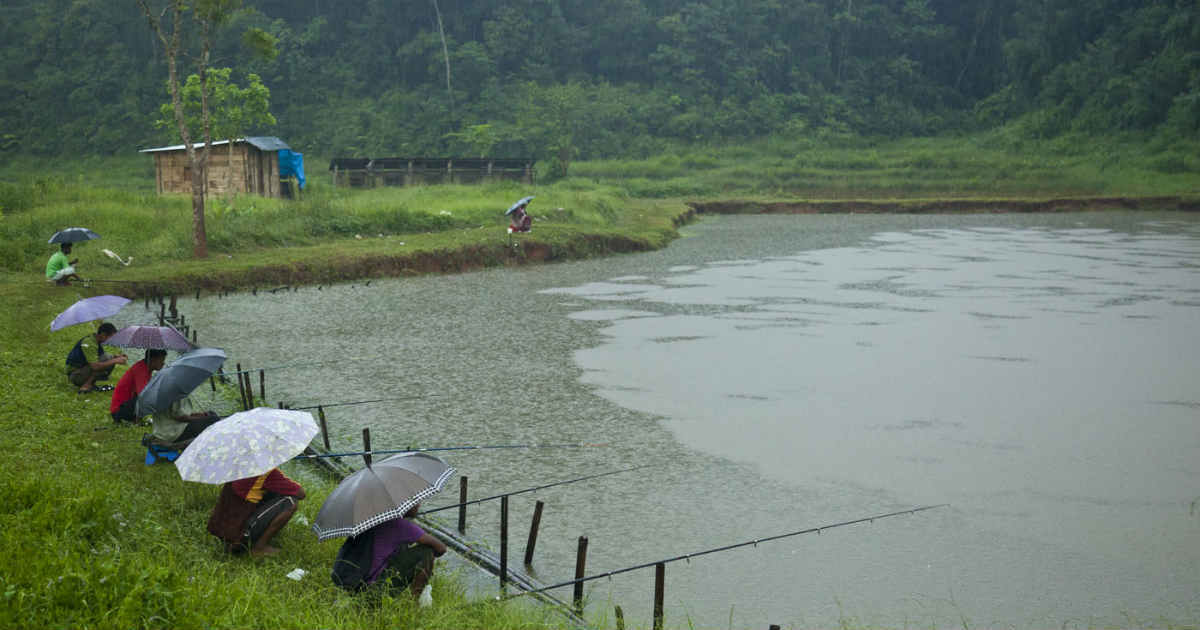
The northeastern states of India i.e.Arunachal Pradesh, Assam, Meghalaya, Nagaland, Manipur, Mizoram and Tripurawitnessed light to moderate rain and thundershowers with few heavy spells during the last 24 hours. Especially Meghalaya experienced heavy rainfall activity.
A cyclonic circulation is currently persisting over Bangladesh and its adjoining area. In fact, humid winds from the Bay of Bengal are feeding enough moisture to the northeastern states. Due to these weather conditions, Bangladesh has been observing heavy to extremely heavy rains for the last few days.
We expect more widespread rain and thundershower activities to lash parts of Bangladesh. In Northeast India too, light to moderate pre-Monsoon rains with few heavy showers will continue for the coming one week.
June 6 onwards, the intensity of these rains will increase significantly. Thus, we can say that pre-Monsoon rains will continue over the region until theonset of Southwest Monsoon.
Southwest Monsoonis expected to get delayed over Northeast India by a week, as the normal onset of Monsoonover parts of Northeast India particularly over Manipur and Mizoram is around June 2. And by June 5, most of the northeastern states come under the influence of Southwest Monsoon.
However, this year the scenario is a little different asMonsoonis likely to get delayed over the region by almost 7 days. But in spite of delayed Monsoon, good pre-Monsoon rains are expected to continue over the region creating comfortable weather conditions.
Moreover, in the wake of continuous good rains, chances of flash floods and waterlogging are also possible in parts of Tripura, Assam and Mizoram. Assam is already witnessing floodlike situation in some districts, which might worsen further.
Image Credit: Wikipedia
Please Note: Any information picked from here must be attributed to skymetweather.com