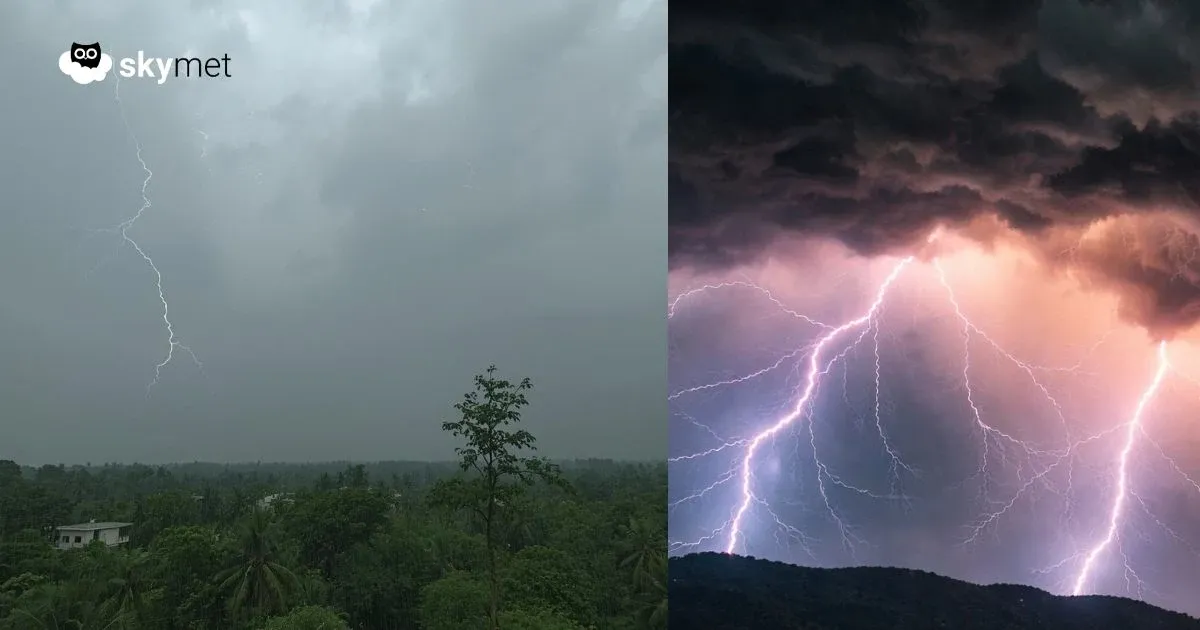
Rain-Thundershowers Over Rajasthan, Madhya Pradesh, Uttar Pradesh: Hailstorm May Accompany

Key Takeaways:
- Western Disturbance + induced circulation to trigger thunderstorms and hailstorms across North-Central India.
- Peak impact on 18 February over Rajasthan, Delhi, Madhya Pradesh, and Uttar Pradesh.
- Tri-junction areas of the three states face higher risk of severe activity.
- Weather clears from 20 February onward with minimal residual effects on the 19th.
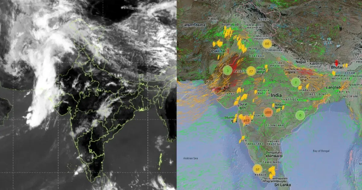
A Western Disturbance is moving across the hills of North India. An induced cyclonic circulation is marked over Rajasthan and its neighbourhood. The combination of these two invariably leads to thunderstorms and hailstorms around this time, when winter is exiting and pre-monsoon transition is approaching. The weather system is not very strong, yet the scale and spread will affect the states of Rajasthan, Madhya Pradesh, and Uttar Pradesh, more visibly the tri-junctional pockets of these states.
The weather activity will start soon from North Rajasthan, covering Ganganagar, Suratgarh, Anupgarh, and Hanumangarh, and spread along the borders of the other two states. The places at risk will include Jaipur, Ajmer, Alwar, Dausa, Bharatpur, Dholpur, Sawai Madhopur, Bundi, and Kota, and roll over to the Bundelkhand area of Madhya Pradesh and Southwest Uttar Pradesh. Locations in these states will include Gwalior, Guna, Shivpuri, Sheopur, Ashok Nagar, Bhind, Morena, Datia, Agra, Aligarh, Mathura, and adjacent pockets.
The weather activity is likely to start in the evening today over the border areas of Rajasthan and shift eastward at a rapid pace. The peak of weather activity will be on 18th February, covering a large area of Rajasthan, Delhi, and contiguous parts of Madhya Pradesh and Uttar Pradesh. The remnant effect will be felt on 19th February as well, in very few pockets. Large clearance over the region is anticipated from 20th February onward.