Snowy Week For The Mountains, Back To Back Western Disturbance Likely
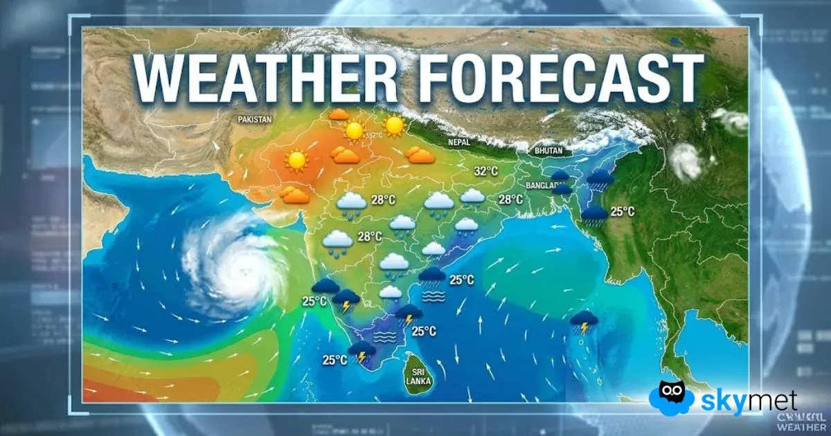
Back-to-back western disturbances are likely to move across the northern mountains. The weather activity will commence around the upcoming weekend and extend till the far end of next week. Jammu & Kashmir and Ladakh will be the chief beneficiaries, followed by Himachal Pradesh. The sister state, Uttarakhand, may get away with the least activity.
The current western disturbance has vacated the Jammu & Kashmir region and will exit from Himachal Pradesh and Uttarakhand in the next about 12-18 hours. A fresh western disturbance is likely to approach the Western Himalayas late on 08th Feb and commence activity, visible from 09th Feb. Close on their heels, another western disturbance will chase the region, albeit on a milder note. Broad clearance in the weather activity is expected on and after 15th Feb.
The first western disturbance will move across the hills between 09th and 11th Feb. Low, middle and higher reaches of the Kashmir Valley and Ladakh will have a moderate spell of rain and snow. The peak weather activity is expected on the 10th & 11th of Feb. Srinagar, Gulmarg, Pahalgam, Sonamarg and other popular destinations will witness decent snowfall, more of it on the peaks above 8,000 feet. The state of Himachal Pradesh will have less snow and more thundershowers during this period. Manali is likely to have a short stint of snowfall and further up, Keylong Valley will have moderate snowfall. Dalhousie, Dharamshala and Shimla may have to contend with rain and thundershowers. Further east, the weather activity will shrink further over Uttarakhand and snowfall, if any, will remain confined to the higher reaches. Yet, lower and middle hills like Mussoorie, Nainital, Uttarkashi, Joshimath and Mukteshwar will observe scattered rain and showers.
The next system will travel across the mountains between 12th and 14th Feb. Relatively a weak system, the intensity and spread of weather activity will be much less as compared to the previous spell. Only the higher reaches above 15,000 feet may get some snow and that too for a brief duration. The mountains are having a large deficit this season. All the three hilly subdivisions have a seasonal shortfall in excess of 85%. The current spell may just arrest the further fall but may not be adequate enough to reduce the margins. A broad clearance in the weather activity is expected in the third week of the month.


