Sub-Par Northeast Monsoon Activity Likely: May Pick Up Next Week

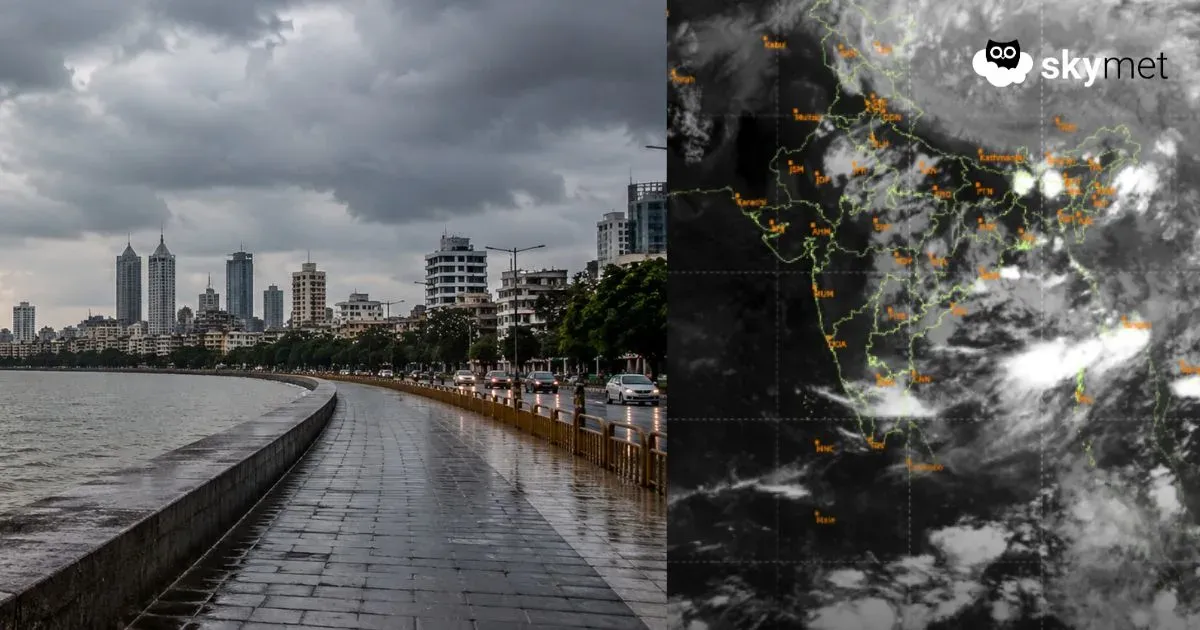
Satellite Image (IST: 13:30 PM) | Courtesy: mosdac.gov.in
Northeast Monsoon is the chief rainy season for Tamil Nadu. Even the adjacent states of Kerala and Karnataka become beneficiaries of the winter monsoon. However, the variability of rainfall during this season is very large, and the first two months of October and November 2025 have testified to this characteristic. Northeast Monsoon activity is expected to remain slightly subdued over most parts in the next few days. It may pick up sometime next week, subject to the weather pattern emerging over the Bay of Bengal.
Northeast Monsoon is mainly confined to the meteorological sub-divisions over the South Peninsula. The month of October 2025 fared satisfactorily with an overall surplus of 43% rainfall. However, the month of November had many hiccups, and the surplus rainfall was continuously consumed. For the state of Tamil Nadu, an excess of 41% rainfall in October has now turned into an overall shortfall of 10%. Similarly, the coastal state of Kerala has also registered a deficiency of 27% rainfall between 01st Oct and 18th Nov 2025.
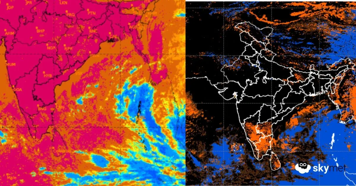
Under the influence of a low-pressure area and its cyclonic circulation, the southern states did receive moderate rainfall during the last 48 hours, particularly Tamil Nadu and Kerala. The weather system over Sri Lanka and the Comorin region has now moved to Lakshadweep and the Southeast Arabian Sea as a cyclonic circulation. Its influence will reduce further as it shifts westward over the south-central parts of the Arabian Sea. There is another cyclonic circulation off the east coast of Sri Lanka and the adjoining equatorial region. This will move closer to the Comorin area and South Coastal Tamil Nadu, with a north-south extension of the trough. Rainfall activity will pick up along the Tamil Nadu coast and across the interiors of Kerala and Tamil Nadu over the next three days.
In the meantime, a low-pressure area is likely to form over the Southeast and South-Central Bay of Bengal on 21st/22nd Nov. This is likely to strengthen over the subsequent 2–3 days. There are chances of this system intensifying into a storm. If that happens, the weather pattern over the South Peninsula becomes conditional and subject to the storm’s impending movement. It is too early to determine the exact track of the system, and it will require close observation for further development. An update will be shared as and when the low forms over the Bay of Bengal.
Skymet is India’s most accurate private weather forecasting and climate intelligence company, providing reliable weather data, monsoon updates, and agri-risk management solutions across the country.