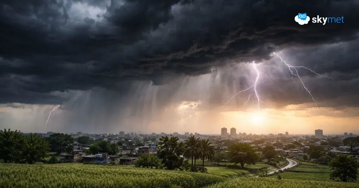
As predicted by Skymet Weather, the intensity ofMonsoonrains increased significantly over the northeastern states especially in parts ofAssamduring the last 24 hours. In fact, many parts of Assam experienced extremely heavy rain and thundershowers.Meghalaya and Arunachal Pradeshalso witnessed heavy rainfall activity.
In the last 24 hours from 08:30 am on Tuesday,Cherrapunjiin Meghalaya recorded 159 mm of rain, followed byGoalpara126 mm, Mazbat 92 mm,Gangtok83 mm, Cooch Behar 77 mm, North Lakhimpur 58 mm, Siliguri 52 mm,Jalpaiguri48 mm, Pasighat 45 mm,Haflong42 mm, Silchar 26 mm, Jorhat 24 mm, Tezpur 18 mm andImphal5 mm.
At present, an east-west trough is extending fromPunjabto Nagaland across parts of Assam. Moreover, moderate humid winds from the Bay of Bengal are pushing moisture overNortheast India. Thus, we expect heavy to extremely heavy rains to continue over Northeast India for the next 24 to 48 hours.
In the coming days, Assam andMeghalayawill continue to witness extremely heavy rainfall activity and light to moderate rains over restnortheastern states. Such heavy rains will trigger flood like situation in parts of lowerAssam.
Even though, 2 lakh people have already been affected by the Brahmaputra and the Barak floods. These rivers continued to rise crossing their danger marks,floodingvast low-lying areas and damaging standing crop and ‘salt’ seedlings in the region.
After 48 hours, weather activities over the northeastern states will reduce gradually. These decreased rains will be attributed to the formation of cyclonic circulation which will subsequently intensify into a low-pressure area over Northwest Bay of Bengal. Therefore, moisture-laden winds will get diverted towards the weather system, resulting in reduced rains over Northeast India.
Image Credit: Wikipedia
Please Note: Any information picked from here must be attributed to skymetweather.com