Western Disturbance Over North India, Rain And Snow In The Mountains
A fresh western disturbance arrived over the mountains late in the night on 24th March. There was scattered rain and snow in the past 24 hours in the mid and higher reaches of Jammu & Kashmir. An increase in spread and intensity is expected over the next two days and will recede thereafter. After a gap of nearly one week, the mountains are going to observe some action between 26th and 28th March 2025.
Western disturbance is supported by a well-marked induced cyclonic circulation over Central Pakistan and border areas of North Rajasthan and Punjab. Under the combined influence of these two systems, the hilly states will have fairly widespread rain and snow. The plains and foothills of Punjab and Haryana will escape the winter rainfall and will mostly have cloudy sky. Isolated hailstorm activity is expected over the Kashmir Division and mid-reaches of Himachal Pradesh.
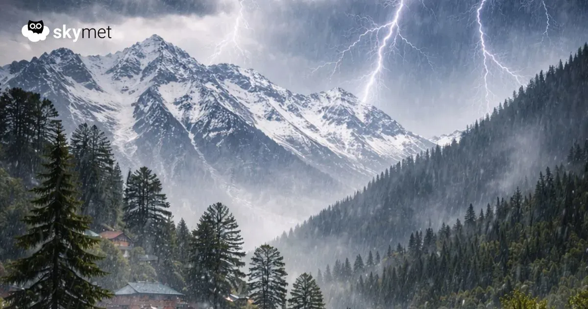
Jammu & Kashmir and Ladakh will be the chief beneficiaries of wintry activity, with widespread rain and snow in the mid and higher reaches. The state of Himachal Pradesh will have scattered rain and thundershowers and isolated snowfall in the mid and higher reaches. Srinagar, Pahalgam and Gulmarg are likely to have rain and thundershowers. Elevated places above 10,000 feet, like Sonamarg, will have snowfall. Resorts like Dalhousie, Dharamshala, Mandi and Shimla will have rainfall and Manali could witness light snow. The state of Uttarakhand will have the least weather activity.
The day temperatures are likely to drop appreciably over Jammu & Kashmir and Himachal Pradesh. Night temperatures will rise during this period and drop thereafter after the passage of a western disturbance. There is no likelihood of any major disruption in the communication and connectivity in association with these weather systems. Road and air services will generally remain normal and interruption, if any, will be for a brief period.


