Tropical Storm Senyar Weakens: Keeps Safe Distance From Bay Islands

Key Takeaways
- Cyclone Senyar has weakened into a deep depression and will soon degrade further into a depression.
- The system lies far from the Nicobar Islands and will move northeastward, posing no threat to Indian territory.
- Weakening was inevitable due to low latitude, weak Coriolis force, land proximity, and high wind shear.
- Southeast Asia — including the Malay Peninsula, Gulf of Thailand, Vietnam, and Cambodia — will continue facing heavy rains and flooding impacts.
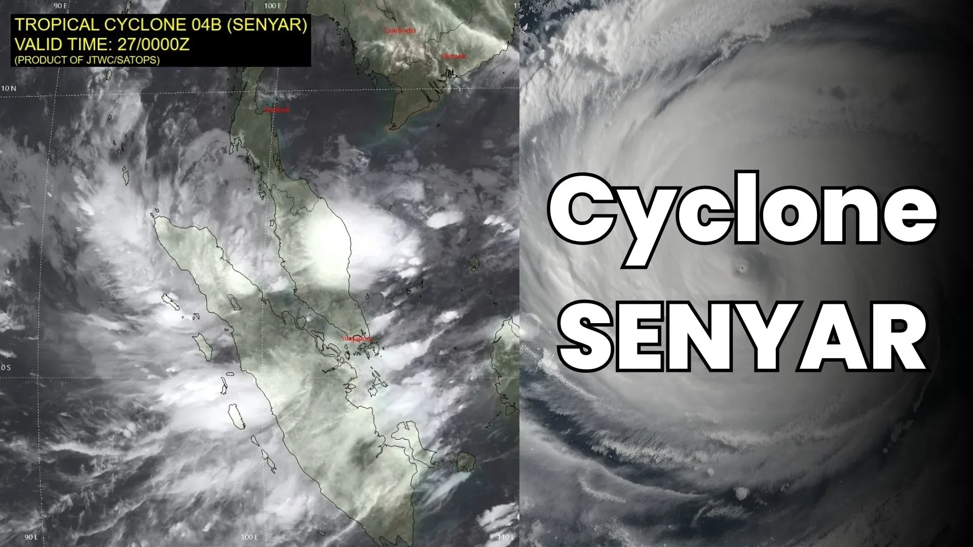
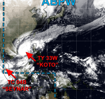
Yesterday’s cyclone ‘Senyar’ has weakened to a deep depression and is likely to soften further into a depression shortly. The storm was positioned close to the Malay Peninsula, slightly away from the Strait of Malacca and the northern parts of Indonesia. The system is located more than 800 km away from the Nicobar Islands. It is expected to move northeastward, further away from Indian territorial limits, leaving no chance of any adverse weather over the north–south chain of Bay Islands.
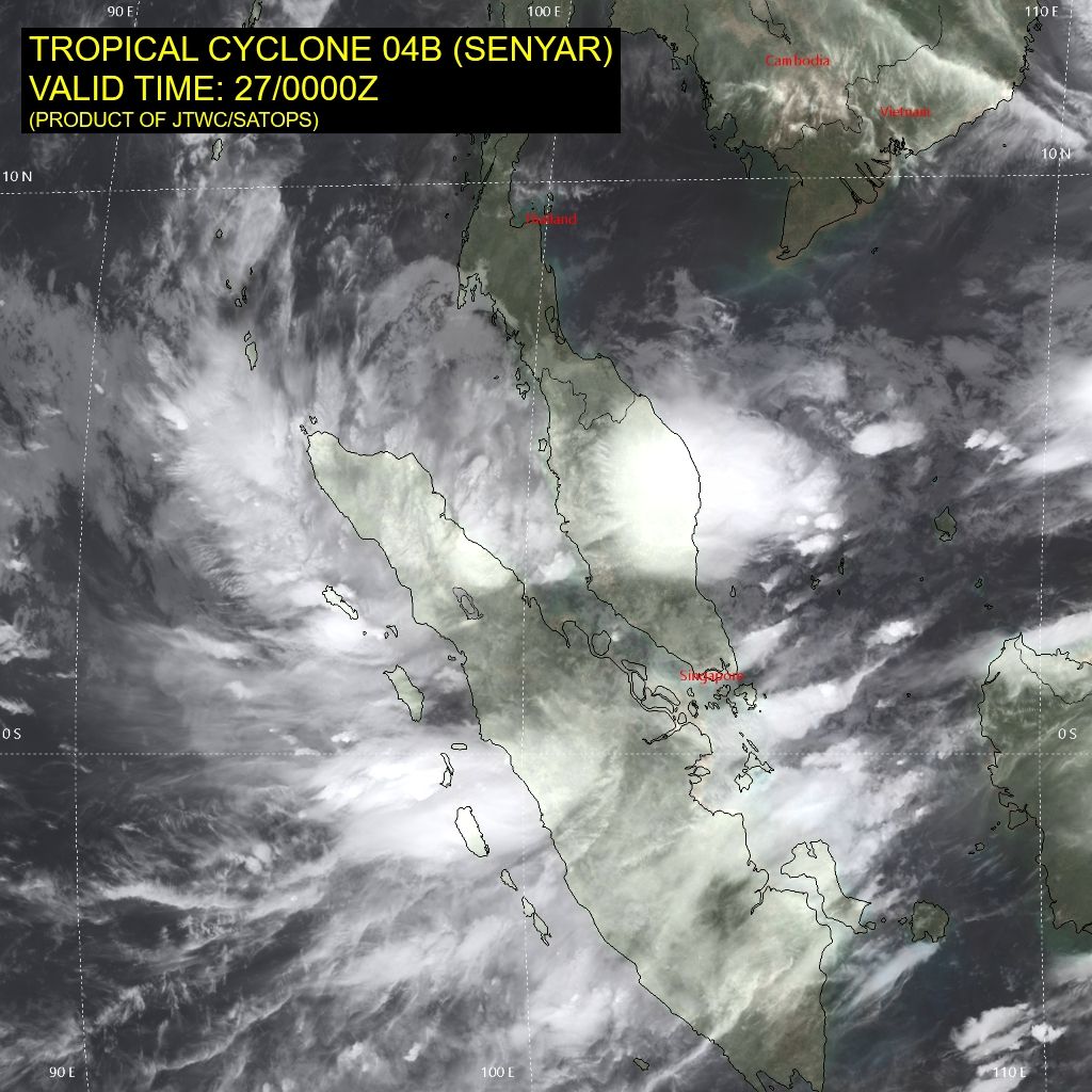
Weakening of this storm was a fait accompli. The storm was centered in very low latitudes within the equatorial belt. It continued losing latitude and could never muster the required amount of Coriolis force. Currently, the weather system is positioned near 3.7°N and 99.2°E and is moving northeastward. The storm also remained under unfavourable environmental conditions such as high wind shear and significant frictional impediments due to its proximity to land.
There is no threat of adverse weather conditions over the Bay Islands. However, the bad weather will impact the Malay Peninsula, the Gulf of Thailand, and eventually reach the southernmost parts of Vietnam and Cambodia. These regions of Southeast Asia are already struggling in the aftermath of heavy rains. Deadly floods have displaced thousands of people. Inclement weather conditions are expected to persist for another 48 hours or so.


