Cyclonic Storm Ditwah Downgraded To Depression: Further Weakening Likely: Rains Continue Over Andhra Pradesh

Key Takeaways
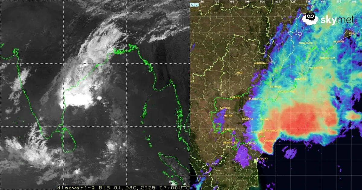
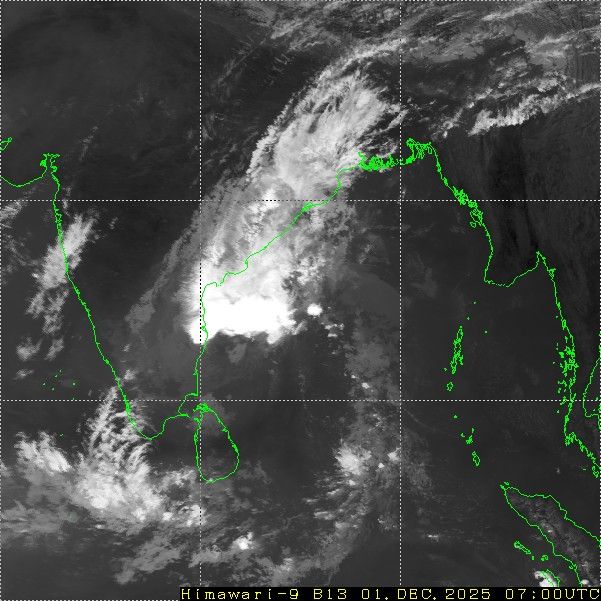
- Cyclonic Storm Ditwah has weakened into a depression and is now positioned east of Chennai over the sea.
- The system will continue drifting northward while weakening and is unlikely to impact inland areas.
- South Coastal Andhra Pradesh recorded heavy rainfall, including 114 mm at Kavali.
- Rough sea conditions will persist for 24 hours, with normal northeast monsoon activity returning from 3 December.
Cyclonic Storm Ditwah has weakened into a depression and was centred over the sea, nearly 50 km east of Chennai at 8:30 am today. The depression will weaken further while moving northward, maintaining some distance from the coastline. The remnant system is likely to remain over the sea with limited movement, restricting significant weather activity to Coastal Andhra Pradesh.
Earlier, the storm caused severe devastation in Sri Lanka, claiming more than 300 lives. Being surrounded by water bodies, the cyclone did not weaken immediately after landfall on the eastern coast of the island nation. It eventually weakened over the Southwest Bay of Bengal, off the Tamil Nadu coast, sparing the Tamil Nadu shoreline and remaining well short of Chennai.
The depression triggered isolated heavy rainfall over South Coastal Andhra Pradesh. Kavali recorded 114 mm and Nellore 40 mm in the past 24 hours. Winds have eased along the Tamil Nadu and Andhra Pradesh coasts. The system is unlikely to move inland or travel further along the coast and is expected to dissipate over the sea, off the Andhra Pradesh coast. While stormy weather over land will subside, sea conditions will remain rough for another 24 hours.
Heavy rain with strong winds is likely at some locations over South Coastal Andhra Pradesh. The stretch from Kavali to Kakinada will be at moderate risk of continued rainfall for the next 24 hours. Areas prone to intense activity include Kavali, Nellore, Ongole, Gudur, Bapatla, Machilipatnam, Kakinada and Yanam (Puducherry). Normal northeast monsoon activity is expected to resume from 3 December onward.
